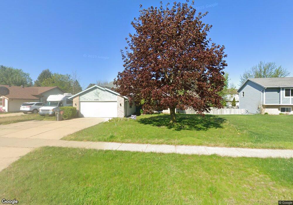
7081 20th Ave Jenison, MI 49428
Estimated Value: $338,000 - $354,339
4
Beds
2
Baths
1,900
Sq Ft
$182/Sq Ft
Est. Value
About This Home
This home is located at 7081 20th Ave, Jenison, MI 49428 and is currently estimated at $346,335, approximately $182 per square foot. 7081 20th Ave is a home located in Ottawa County with nearby schools including Rosewood Elementary School, Jenison Junior High School, and Jenison High School.
Ownership History
Date
Name
Owned For
Owner Type
Purchase Details
Closed on
Apr 29, 2009
Sold by
Tuttle Chad and Tuttle Lindsay
Bought by
Kapla Christopher B and Kapla Doris
Current Estimated Value
Home Financials for this Owner
Home Financials are based on the most recent Mortgage that was taken out on this home.
Original Mortgage
$126,663
Outstanding Balance
$80,887
Interest Rate
5.05%
Mortgage Type
FHA
Estimated Equity
$265,448
Create a Home Valuation Report for This Property
The Home Valuation Report is an in-depth analysis detailing your home's value as well as a comparison with similar homes in the area
Home Values in the Area
Average Home Value in this Area
Purchase History
| Date | Buyer | Sale Price | Title Company |
|---|---|---|---|
| Kapla Christopher B | $129,000 | Group Title Services |
Source: Public Records
Mortgage History
| Date | Status | Borrower | Loan Amount |
|---|---|---|---|
| Open | Kapla Christopher B | $126,663 |
Source: Public Records
Tax History Compared to Growth
Tax History
| Year | Tax Paid | Tax Assessment Tax Assessment Total Assessment is a certain percentage of the fair market value that is determined by local assessors to be the total taxable value of land and additions on the property. | Land | Improvement |
|---|---|---|---|---|
| 2025 | $2,128 | $149,800 | $0 | $0 |
| 2024 | $1,847 | $132,100 | $0 | $0 |
| 2023 | $1,763 | $122,800 | $0 | $0 |
| 2022 | $1,935 | $106,100 | $0 | $0 |
| 2021 | $1,879 | $94,800 | $0 | $0 |
| 2020 | $1,859 | $86,500 | $0 | $0 |
| 2019 | $1,860 | $79,900 | $0 | $0 |
| 2018 | $1,735 | $76,500 | $0 | $0 |
| 2017 | $1,704 | $75,200 | $0 | $0 |
| 2016 | $1,692 | $68,500 | $0 | $0 |
| 2015 | $1,615 | $64,200 | $0 | $0 |
| 2014 | $1,615 | $62,000 | $0 | $0 |
Source: Public Records
Map
Nearby Homes
- 2101 Rosewood St
- 7165 Keystone Ct
- 2159 Tyler St
- 2194 Oak Hollow Dr
- 7107 Westwood Dr
- 2200 Rosewood St
- 7314 Pinegrove Dr
- 7342 Cherry Ave
- 7373 Pinegrove Dr Unit 109
- 2323 Rosewood St
- 7461 Pinegrove Dr Unit 29
- 7444 Pinegrove Dr Unit 59
- 7502 22nd Ave
- 7425 Boulder Bluff Dr Unit 112
- 7523 Boulder Bluff Dr Unit 82
- 6673 Cedargrove E Unit 141
- 7450 Boulder Bluff Dr Unit 66
- 7450 Boulder Bluff Dr Unit 61
- 6363 Eastridge Ct
- 2698 Cedargrove N
- 7093 20th Ave
- 7069 20th Ave
- 2034 Oak Hollow Dr
- 2038 Oak Hollow Dr
- 2030 Oak Hollow Dr
- 7057 20th Ave
- 2014 Tyler St
- 2026 Oak Hollow Dr
- 2044 Oak Hollow Dr
- 7045 20th Ave
- 2069 Oak Hollow Dr
- 2067 Oak Hollow Dr
- 2052 Oak Hollow Dr
- 2057 Oak Hollow Dr
- 7155 20th Ave
- 7031 20th Ave
- 2047 Oak Hollow Dr
- 2062 Oak Hollow Dr
- 2035 Tyler St
- 2077 Oak Hollow Dr