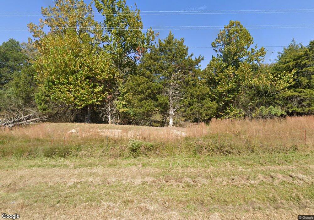
7082 Highway 92 W Bee Branch, AR 72013
Estimated Value: $157,775 - $312,000
--
Bed
2
Baths
1,120
Sq Ft
$224/Sq Ft
Est. Value
About This Home
This home is located at 7082 Highway 92 W, Bee Branch, AR 72013 and is currently estimated at $251,194, approximately $224 per square foot. 7082 Highway 92 W is a home located in Van Buren County with nearby schools including South Side Elementary School and South Side High School.
Ownership History
Date
Name
Owned For
Owner Type
Purchase Details
Closed on
Nov 3, 2023
Sold by
Lathem Michael D
Bought by
Richards Steve K and Richards Teresa A
Current Estimated Value
Purchase Details
Closed on
Jul 22, 2004
Bought by
Michael and Teresa 6Ac
Purchase Details
Closed on
Apr 16, 1998
Bought by
Lathem
Purchase Details
Closed on
Feb 19, 1998
Bought by
Lathem
Purchase Details
Closed on
Feb 6, 1998
Bought by
Lathem
Purchase Details
Closed on
Dec 12, 1997
Bought by
Lathem
Purchase Details
Closed on
Nov 14, 1997
Bought by
Lathem
Create a Home Valuation Report for This Property
The Home Valuation Report is an in-depth analysis detailing your home's value as well as a comparison with similar homes in the area
Home Values in the Area
Average Home Value in this Area
Purchase History
| Date | Buyer | Sale Price | Title Company |
|---|---|---|---|
| Richards Steve K | -- | None Listed On Document | |
| Michael | -- | -- | |
| Lathem | -- | -- | |
| Lathem | -- | -- | |
| Lathem | -- | -- | |
| Lathem | -- | -- | |
| Lathem | -- | -- |
Source: Public Records
Tax History Compared to Growth
Tax History
| Year | Tax Paid | Tax Assessment Tax Assessment Total Assessment is a certain percentage of the fair market value that is determined by local assessors to be the total taxable value of land and additions on the property. | Land | Improvement |
|---|---|---|---|---|
| 2024 | $364 | $17,800 | $780 | $17,020 |
| 2023 | $405 | $17,800 | $780 | $17,020 |
| 2022 | $455 | $17,800 | $780 | $17,020 |
| 2021 | $422 | $17,800 | $780 | $17,020 |
| 2020 | $388 | $17,800 | $780 | $17,020 |
| 2019 | $354 | $14,790 | $770 | $14,020 |
| 2018 | $379 | $14,790 | $770 | $14,020 |
| 2017 | $673 | $14,790 | $770 | $14,020 |
| 2015 | -- | $15,340 | $780 | $14,560 |
| 2014 | -- | $15,340 | $780 | $14,560 |
| 2013 | -- | $15,340 | $780 | $14,560 |
Source: Public Records
Map
Nearby Homes
- 7488 Highway 92 W
- 990 Mahan Dr
- 27 Highway 124 W
- 18 Arkansas 124
- 9 Cherokee Rd
- 17225 Highway 65 S
- 10 Leonard Loop
- 284 Highway 124 W
- 24 Mahan Ln N
- Tract 6 Harmony Mountain Rd
- Tract 10 Harmony Mountain Rd
- Tract 2 Harmony Mountain Rd
- Tract 5 Harmony Mountain Rd
- Tract 1 Harmony Mountain Rd
- Tract 8 Harmony Mountain Rd
- Tract 3 Harmony Mountain Rd
- 00 Catholic Point Rd
- 1891 Arkansas 92
- 104 Cove Chapel Rd
- 247 Solomon Grove Rd
- 7009 Highway 92 W
- 0 Hwy 92 W Unit 10257686
- 000 Hwy 92 E
- 00 Hwy 92
- 0000 Hwy 92 E
- 0 Highway 92 Unit 17010503
- 0 Hwy 92 W Unit 23034998
- 0 Hwy 92 W Unit 16005261
- 0 Hwy 92 W Unit 20034905
- 215 Rabbit Ridge
- 7027 Highway 92 W
- 7071 Highway 92 W
- 4177 Highway 285
- 6806 Highway 92 W
- 7111 Highway 92 W
- 240 Rabbit Ridge
- 4099 Highway 285
- 6713 Highway 92 W
- 467 Rabbit Ridge
- 6742 Highway 92
