7083 Brophy Rd Unit Bldg-Unit Howell, MI 48855
Estimated Value: $306,000 - $379,000
About This Home
This home is located at 7083 Brophy Rd Unit Bldg-Unit, Howell, MI 48855 and is currently estimated at $330,993, approximately $244 per square foot. 7083 Brophy Rd Unit Bldg-Unit is a home located in Livingston County with nearby schools including Hartland High School.
Ownership History
We collect this data history from publicly available records. To have your information removed, we recommend requesting removal directly through your county’s website.
Purchase Details
Purchase Details
Purchase Details
Home Financials for this Owner
Home Financials are based on the most recent Mortgage that was taken out on this home.Home Values in the Area
Average Home Value in this Area
Purchase History
We collect this data history from publicly available records. To have your information removed, we recommend requesting removal directly through your county’s website.
| Date | Buyer | Sale Price | Title Company |
|---|---|---|---|
| -- | None Available | ||
| $190,000 | -- | ||
| -- | Metropolitan Title Company |
Mortgage History
We collect this data history from publicly available records. To have your information removed, we recommend requesting removal directly through your county’s website.
| Date | Status | Borrower | Loan Amount |
|---|---|---|---|
| Previous Owner | $127,000 |
Tax History
We collect this data history from publicly available records. To have your information removed, we recommend requesting removal directly through your county’s website.
| Year | Tax Paid | Tax Assessment Tax Assessment Total Assessment is a certain percentage of the fair market value that is determined by local assessors to be the total taxable value of land and additions on the property. | Land | Improvement |
|---|---|---|---|---|
| 2025 | $1,467 | $149,100 | $0 | $0 |
| 2024 | $1,426 | $136,900 | $0 | $0 |
| 2023 | $1,363 | $133,000 | $0 | $0 |
| 2022 | $2,914 | $102,900 | $0 | $0 |
| 2021 | $2,608 | $114,400 | $0 | $0 |
| 2020 | $4,564 | $102,900 | $0 | $0 |
| 2019 | $4,342 | $97,000 | $0 | $0 |
| 2018 | $3,433 | $95,000 | $0 | $0 |
| 2017 | $3,376 | $87,700 | $0 | $0 |
| 2016 | $3,352 | $86,400 | $0 | $0 |
| 2014 | $3,124 | $73,400 | $0 | $0 |
| 2012 | $3,124 | $72,400 | $0 | $0 |
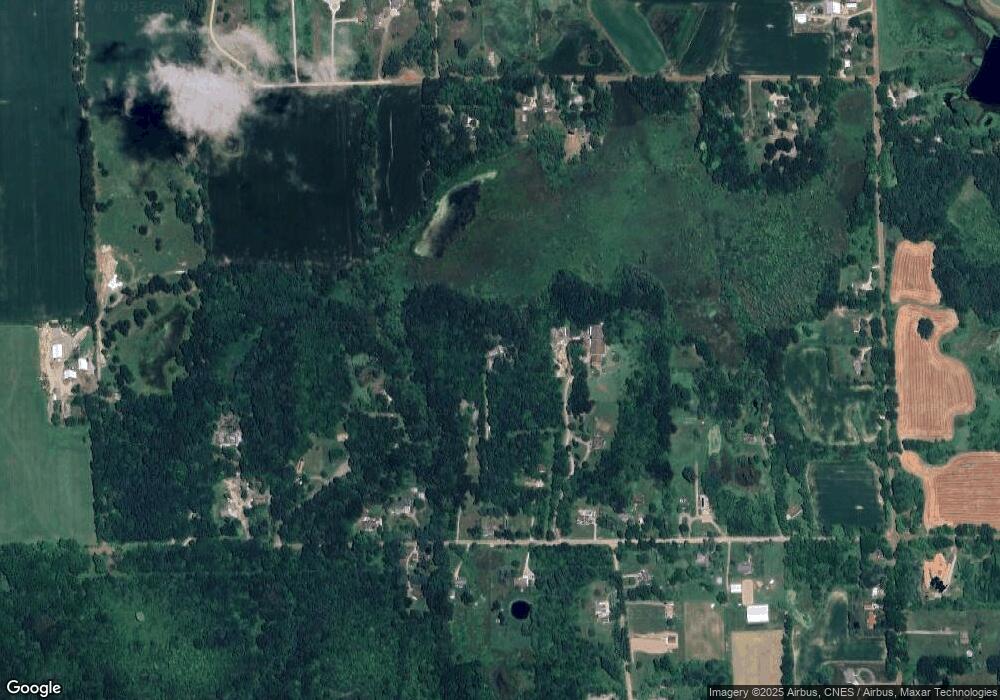
Map
- 2700 N Hacker Rd
- parcelA cullen rd Cullen Rd
- 7659 Clyde Rd
- 1802 Mist Wood Dr Unit 22
- 1928 Mist Wood Dr
- Parcel N N Hacker Rd
- tbd Parcel B Cullen Rd Rd
- 9095 Rotondo Dr Unit 7
- 8533 Glen View Dr
- tbd Cullen Rd
- 7687 Parshallville Rd
- 9109 Ambergrove Dr
- 1544 Four Seasons Dr
- 879 N Hacker Rd
- 9256 Pine Hill Trail
- 1786 Four Seasons Dr
- 4441 Mack Rd
- 8746 N Hills Ct
- 2260 Moorland's View
- 4966 Mack Rd
- 7083 Brophy Rd
- 7039 Brophy Rd
- 2480 Musson Rd
- 7219 Brophy Rd
- 3095 Laura Ln
- 7105 Brophy Rd
- 6965 Brophy Rd
- 3037 Laura Ln
- 7065 Brophy Rd
- 7237 Brophy Rd
- 7269 Brophy Rd
- 6911 Brophy Rd
- 7255 Brophy Rd
- 7046 Armstrong Rd
- 6980 Brophy Rd
- 3021 Laura Ln
- 7100 Brophy Rd
- 7042 Brophy Rd
- 7196 Armstrong Rd
- 7295 Brophy Rd
Ask me questions while you tour the home.