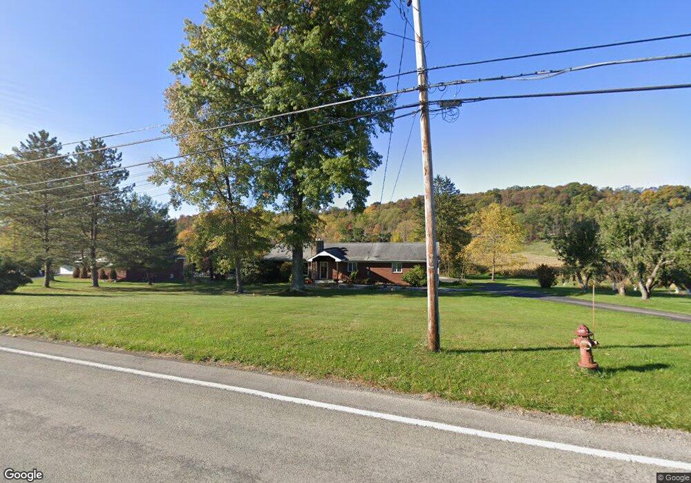
7083 State Route 819 Mount Pleasant, PA 15666
Mount Pleasant Township NeighborhoodEstimated Value: $287,062 - $398,000
--
Bed
--
Bath
--
Sq Ft
1.2
Acres
About This Home
This home is located at 7083 State Route 819, Mount Pleasant, PA 15666 and is currently estimated at $331,766. 7083 State Route 819 is a home located in Westmoreland County with nearby schools including Mount Pleasant Area High School and Armbrust Wesleyan Christian Academy.
Ownership History
Date
Name
Owned For
Owner Type
Purchase Details
Closed on
Oct 4, 2018
Sold by
Rugh Timothy R and Rugh Kathleen Mayer
Bought by
Kern Thomas E and Kern Edward Sarah
Current Estimated Value
Home Financials for this Owner
Home Financials are based on the most recent Mortgage that was taken out on this home.
Original Mortgage
$152,150
Outstanding Balance
$132,966
Interest Rate
4.6%
Mortgage Type
New Conventional
Estimated Equity
$198,800
Purchase Details
Closed on
Oct 26, 2011
Sold by
Rugh Timothy R
Bought by
Rugh Hazel E and Rugh Timothy R
Purchase Details
Closed on
Aug 3, 2010
Sold by
Rugh Hazel E
Bought by
Rugh Timothy R
Purchase Details
Closed on
Jan 11, 2008
Sold by
Ansell Ben E
Bought by
Ansell Julia M
Create a Home Valuation Report for This Property
The Home Valuation Report is an in-depth analysis detailing your home's value as well as a comparison with similar homes in the area
Home Values in the Area
Average Home Value in this Area
Purchase History
| Date | Buyer | Sale Price | Title Company |
|---|---|---|---|
| Kern Thomas E | $179,000 | None Available | |
| Rugh Hazel E | -- | None Available | |
| Rugh Timothy R | -- | None Available | |
| Ansell Julia M | -- | None Available |
Source: Public Records
Mortgage History
| Date | Status | Borrower | Loan Amount |
|---|---|---|---|
| Open | Kern Thomas E | $152,150 |
Source: Public Records
Tax History Compared to Growth
Tax History
| Year | Tax Paid | Tax Assessment Tax Assessment Total Assessment is a certain percentage of the fair market value that is determined by local assessors to be the total taxable value of land and additions on the property. | Land | Improvement |
|---|---|---|---|---|
| 2025 | $3,299 | $26,240 | $3,530 | $22,710 |
| 2024 | $3,273 | $26,240 | $3,530 | $22,710 |
| 2023 | $3,063 | $26,240 | $3,530 | $22,710 |
| 2022 | $3,063 | $26,240 | $3,530 | $22,710 |
| 2021 | $3,011 | $26,240 | $3,530 | $22,710 |
| 2020 | $3,011 | $26,240 | $3,530 | $22,710 |
| 2019 | $2,997 | $26,240 | $3,530 | $22,710 |
| 2018 | $2,997 | $26,240 | $3,530 | $22,710 |
| 2017 | $2,940 | $26,240 | $3,530 | $22,710 |
| 2016 | $2,811 | $26,240 | $3,530 | $22,710 |
| 2015 | $2,811 | $26,240 | $3,530 | $22,710 |
| 2014 | $2,708 | $26,240 | $3,530 | $22,710 |
Source: Public Records
Map
Nearby Homes
- 513 Shannon Dr
- 491 Shannon Dr
- 7003 State Route 819
- 576 Front St
- 801 Wimbledon Dr
- 15 Braddock Road Ave
- 690 Orchard Ave
- 212 Mullin Ave
- 800 W Smithfield St
- 800 W Smithfield St Unit W
- 6808 Low St
- 6799 Low St
- 5118 Holly Rd
- 6775 Low St
- 126 N Hitchman St
- 715 W Walnut St
- 35 N Hitchman St
- 0 Mays Ln Unit 22454665
- 539 Pine St
- 320 W Main St
- 7083 State Route 819
- 7077 State Route 819
- 7082 State Route 819
- 7076 State Route 819
- 7090 State Route 819
- 7071 State Route 819
- 819 Sr
- 112 Locust St
- 112 Locust St
- 7111 State Route 819
- 7110 State Route 819
- 7098 State Route 819
- 217 Hickory Ln
- 2151 Route 819 N
- 313 Rumberg Ln
- 848 Rr 4
- 519 Shannon Dr
- 3197 State Route 981
- 521 Shannon Dr
- 7044 Route 819