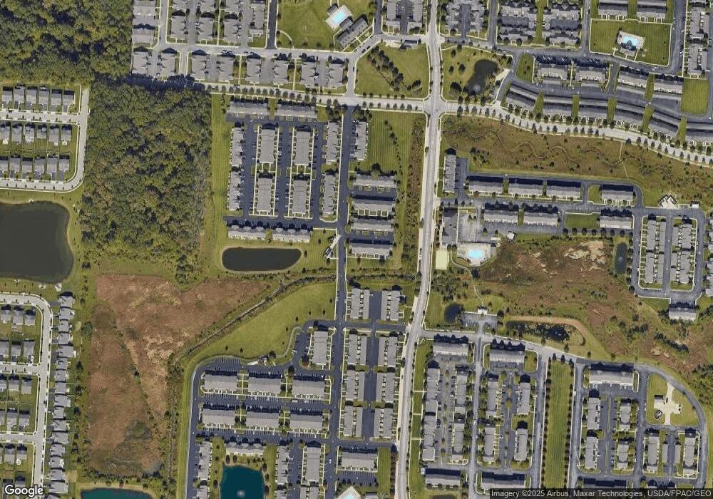
7085 Donerail Dr New Albany, OH 43054
Central College NeighborhoodEstimated Value: $307,000 - $328,000
3
Beds
3
Baths
1,688
Sq Ft
$187/Sq Ft
Est. Value
About This Home
This home is located at 7085 Donerail Dr, New Albany, OH 43054 and is currently estimated at $315,603, approximately $186 per square foot. 7085 Donerail Dr is a home located in Franklin County with nearby schools including Avalon Elementary School, Northgate Intermediate, and Woodward Park Middle School.
Ownership History
Date
Name
Owned For
Owner Type
Purchase Details
Closed on
Mar 29, 2013
Sold by
Ford Sherry D
Bought by
Pierce Richard W
Current Estimated Value
Home Financials for this Owner
Home Financials are based on the most recent Mortgage that was taken out on this home.
Original Mortgage
$149,194
Interest Rate
4.02%
Mortgage Type
FHA
Purchase Details
Closed on
May 20, 2005
Sold by
New Albany Park Ltd
Bought by
Ford Sherry D and Pierce Richard W
Home Financials for this Owner
Home Financials are based on the most recent Mortgage that was taken out on this home.
Original Mortgage
$172,900
Interest Rate
5.68%
Mortgage Type
FHA
Create a Home Valuation Report for This Property
The Home Valuation Report is an in-depth analysis detailing your home's value as well as a comparison with similar homes in the area
Home Values in the Area
Average Home Value in this Area
Purchase History
| Date | Buyer | Sale Price | Title Company |
|---|---|---|---|
| Pierce Richard W | $74,600 | None Available | |
| Ford Sherry D | $176,900 | Connor Land |
Source: Public Records
Mortgage History
| Date | Status | Borrower | Loan Amount |
|---|---|---|---|
| Previous Owner | Pierce Richard W | $149,194 | |
| Previous Owner | Ford Sherry D | $172,900 |
Source: Public Records
Tax History Compared to Growth
Tax History
| Year | Tax Paid | Tax Assessment Tax Assessment Total Assessment is a certain percentage of the fair market value that is determined by local assessors to be the total taxable value of land and additions on the property. | Land | Improvement |
|---|---|---|---|---|
| 2024 | $4,359 | $97,130 | $13,480 | $83,650 |
| 2023 | $4,303 | $97,125 | $13,475 | $83,650 |
| 2022 | $3,255 | $62,760 | $8,650 | $54,110 |
| 2021 | $3,261 | $62,760 | $8,650 | $54,110 |
| 2020 | $3,265 | $62,760 | $8,650 | $54,110 |
| 2019 | $2,929 | $48,280 | $6,660 | $41,620 |
| 2018 | $2,862 | $48,280 | $6,660 | $41,620 |
| 2017 | $3,007 | $48,280 | $6,660 | $41,620 |
| 2016 | $3,087 | $46,600 | $7,010 | $39,590 |
| 2015 | $2,802 | $46,600 | $7,010 | $39,590 |
| 2014 | $2,809 | $46,600 | $7,010 | $39,590 |
| 2013 | $12 | $385 | $385 | $0 |
Source: Public Records
Map
Nearby Homes
- 7095 Donerail Dr Unit 52
- 7099 Fonso Dr
- 5982 Silver Charms Way Unit 32
- 7083 Gallant Fox Dr Unit 4
- 7007 Monarchos Dr
- 5829 Andrew John Dr Unit 3
- 7016 Churchill Downs Dr
- 6058 Avatar Dr Unit 13
- 5777 Colts Gate Dr Unit 44
- 6092 Phar Lap Dr Unit 16
- 7278 Colonial Affair Dr Unit 11
- 7231 Winterbek Ave
- 5730 Colts Gate Dr Unit 43
- 7168 Normanton Dr
- 7234 Normanton Dr
- 6746 Morningside Heights Place
- 6950 Harlem Rd
- 6923 Rothwell St Unit 46923
- 7527 Bullock Ln Unit Lot 177
- 5981 Niahway St Unit 57
- 7089 Donerail Dr
- 7091 Donerail Dr
- 7086 Donerail Dr
- 7090 Donerail Dr
- 7098 Donerail Dr
- 7097 Donerail Dr
- 7092 Donerail Dr
- 7096 Donerail Dr
- 7101 Donerail Dr
- 7102 Donerail Dr
- 5924 Andrew John Dr
- 7087 Fonso Dr
- 7091 Fonso Dr
- 7093 Fonso Dr
- 7097 Fonso Dr
- 5922 Andrew John Dr
- 5922 Andrew John Dr Unit 5-5922
- 5961 Andrew John Dr Unit 39
- 5961 Andrew John Dr
- 5961 Andrew John Dr Unit 9-5961
