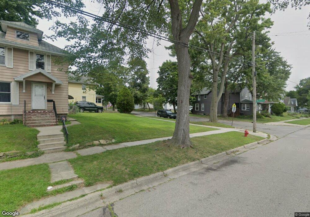
709 Bennett St Unit BENNETT Jackson, MI 49202
Bennett NeighborhoodEstimated Value: $108,000 - $134,000
2
Beds
2
Baths
912
Sq Ft
$132/Sq Ft
Est. Value
About This Home
This home is located at 709 Bennett St Unit BENNETT, Jackson, MI 49202 and is currently estimated at $119,989, approximately $131 per square foot. 709 Bennett St Unit BENNETT is a home located in Jackson County with nearby schools including Hunt Elementary School, Middle School at Parkside, and Jackson High School.
Ownership History
Date
Name
Owned For
Owner Type
Purchase Details
Closed on
Jun 4, 2019
Sold by
Property Detailers Ii Llc
Bought by
Hetzel Jenna L
Current Estimated Value
Purchase Details
Closed on
Jan 18, 2018
Sold by
Jacobs Angela
Bought by
Property Detailers Ii Llc
Purchase Details
Closed on
May 1, 2014
Sold by
U S Bank National Association
Bought by
Jacobs Angela
Purchase Details
Closed on
Jan 30, 2014
Sold by
Nationstar Mortgage Llc
Bought by
U S Bank National Association
Purchase Details
Closed on
Nov 6, 2013
Sold by
Sumner Constance
Bought by
Nationstar Mortgage Lllc and Champion Mortgage Company
Create a Home Valuation Report for This Property
The Home Valuation Report is an in-depth analysis detailing your home's value as well as a comparison with similar homes in the area
Home Values in the Area
Average Home Value in this Area
Purchase History
| Date | Buyer | Sale Price | Title Company |
|---|---|---|---|
| Hetzel Jenna L | $32,500 | Midstate Ttl Agcy Of Souther | |
| Property Detailers Ii Llc | -- | None Available | |
| Jacobs Angela | $13,000 | None Available | |
| U S Bank National Association | -- | None Available | |
| Nationstar Mortgage Lllc | $13,000 | None Available |
Source: Public Records
Tax History
| Year | Tax Paid | Tax Assessment Tax Assessment Total Assessment is a certain percentage of the fair market value that is determined by local assessors to be the total taxable value of land and additions on the property. | Land | Improvement |
|---|---|---|---|---|
| 2025 | $1,907 | $39,900 | $0 | $0 |
| 2024 | $16 | $37,800 | $0 | $0 |
| 2023 | $1,424 | $34,200 | $0 | $0 |
| 2022 | $2,049 | $30,000 | $0 | $0 |
| 2021 | $1,813 | $25,650 | $0 | $0 |
| 2020 | $1,901 | $26,850 | $0 | $0 |
| 2019 | $1,807 | $25,750 | $0 | $0 |
| 2018 | $1,491 | $22,650 | $0 | $0 |
| 2017 | $1,367 | $21,300 | $0 | $0 |
| 2016 | $1,181 | $23,500 | $23,500 | $0 |
| 2015 | $1,058 | $21,100 | $21,100 | $0 |
| 2014 | $1,058 | $19,050 | $0 | $0 |
| 2013 | -- | $19,050 | $19,050 | $0 |
Source: Public Records
Map
Nearby Homes
- 609 Webb St
- 713 Webb St
- 542 A St
- 521 Oakhill Ave
- 503 W Trail St
- 718 Center St
- 330 N West Ave
- 313 Taylor St
- 808 Wildwood Ave
- 311 Hibbard Ave
- 319 W North St
- 1006 Wildwood Ave
- 205 N West Ave
- 1105 Clinton Rd
- 206 N Grinnell St
- 750 W Michigan Ave
- 0 Clinton St Unit 24055405
- 806 W Michigan #202e Ave
- 715 W Michigan Ave Unit 508
- 715 W Michigan Ave Unit 502
Your Personal Tour Guide
Ask me questions while you tour the home.