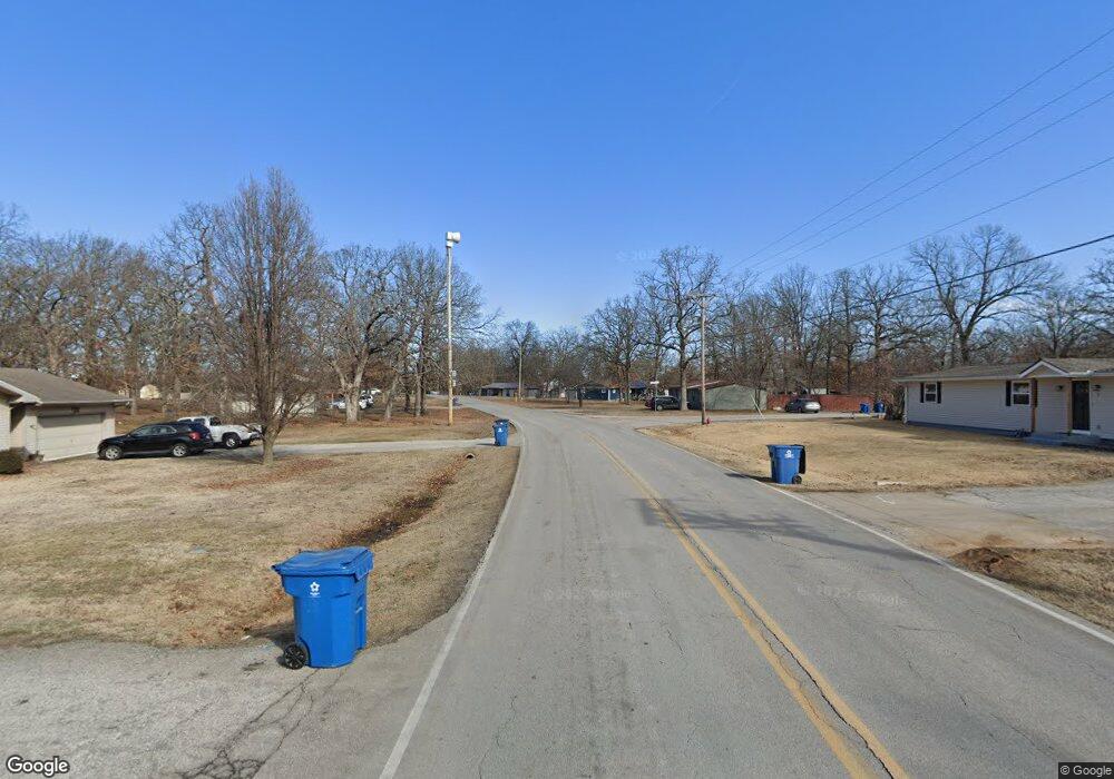
709 Briarbrook Dr Carl Junction, MO 64834
Briarbrook NeighborhoodEstimated Value: $377,317 - $416,000
Studio
3
Baths
2,540
Sq Ft
$155/Sq Ft
Est. Value
About This Home
This home is located at 709 Briarbrook Dr, Carl Junction, MO 64834 and is currently estimated at $394,829, approximately $155 per square foot. 709 Briarbrook Dr is a home located in Jasper County with nearby schools including Carl Junction Primary School (K-1), Carl Junction Intermediate School, and Carl Junction Primary School (2-3).
Ownership History
Date
Name
Owned For
Owner Type
Purchase Details
Closed on
Mar 12, 2012
Sold by
Minor Chad and Minor Audrey
Bought by
Foster Kellan and Foster Megan
Current Estimated Value
Home Financials for this Owner
Home Financials are based on the most recent Mortgage that was taken out on this home.
Original Mortgage
$132,000
Outstanding Balance
$90,520
Interest Rate
3.91%
Mortgage Type
Future Advance Clause Open End Mortgage
Estimated Equity
$304,309
Purchase Details
Closed on
Oct 21, 2009
Sold by
Hsbc Mortgage Services Inc
Bought by
Minor Audrey and Gollhofer Barbara
Home Financials for this Owner
Home Financials are based on the most recent Mortgage that was taken out on this home.
Original Mortgage
$127,206
Interest Rate
4.83%
Mortgage Type
FHA
Create a Home Valuation Report for This Property
The Home Valuation Report is an in-depth analysis detailing your home's value as well as a comparison with similar homes in the area
Home Values in the Area
Average Home Value in this Area
Purchase History
| Date | Buyer | Sale Price | Title Company |
|---|---|---|---|
| Foster Kellan | -- | Alpha Title Llc | |
| Minor Audrey | -- | Mokan Title Services Llc |
Source: Public Records
Mortgage History
| Date | Status | Borrower | Loan Amount |
|---|---|---|---|
| Open | Foster Kellan | $132,000 | |
| Previous Owner | Minor Audrey | $127,206 |
Source: Public Records
Tax History
| Year | Tax Paid | Tax Assessment Tax Assessment Total Assessment is a certain percentage of the fair market value that is determined by local assessors to be the total taxable value of land and additions on the property. | Land | Improvement |
|---|---|---|---|---|
| 2025 | $2,548 | $44,500 | $3,030 | $41,470 |
| 2024 | $2,556 | $40,180 | $3,030 | $37,150 |
| 2023 | $2,556 | $40,180 | $3,030 | $37,150 |
| 2022 | $2,586 | $40,650 | $3,030 | $37,620 |
| 2021 | $2,239 | $40,650 | $3,030 | $37,620 |
| 2020 | $2,088 | $37,410 | $3,030 | $34,380 |
| 2019 | $1,986 | $37,410 | $3,030 | $34,380 |
| 2018 | $1,709 | $32,400 | $0 | $0 |
| 2016 | $1,797 | $34,260 | $0 | $0 |
Source: Public Records
Map
Nearby Homes
- 710 Briarbrook Dr
- 126 N Windwood
- 107 Foursome Ln
- 328 Briarbrook Dr
- 704 Silver Oaks
- 128 Par Ln
- 232 Hickory Place
- 309 Turf Ln
- 909 Silver Oaks Dr
- XXX Lone Elm
- 305 Tee Ln
- 501 Anita Dr
- 2575 Plan at Fox Briar
- 2360 Two Story Plan at Fox Briar
- 2500 Plan at Fox Briar
- 2550 Two Story Plan at Fox Briar
- 2410 Plan at Fox Briar
- 3000 Plan at Fox Briar
- 306 Lakeview Ln
- 1021 Copper Oaks Dr
- 712 Briarbrook Dr
- 711 Briarbrook Dr
- 1 Tanglewood Dr
- 121 Cedar Ln
- 101 Trent Dr
- 123 Cedar Ln
- 706 Briarbrook Dr
- 103 Trent Dr
- 3 Tanglewood Dr
- 714 Briarbrook Dr
- 712 Kara Ln
- 2 Tanglewood Dr
- 2 Tanglewood Dr Unit 1
- Lot 25 Cedar Ln
- Lot 25 Cedar Ln Unit 25
- 714 Kara Ln
- 125 Cedar Ln
- 4 Tanglewood Dr
- 5 Tanglewood Dr
- 107 Trent Dr
