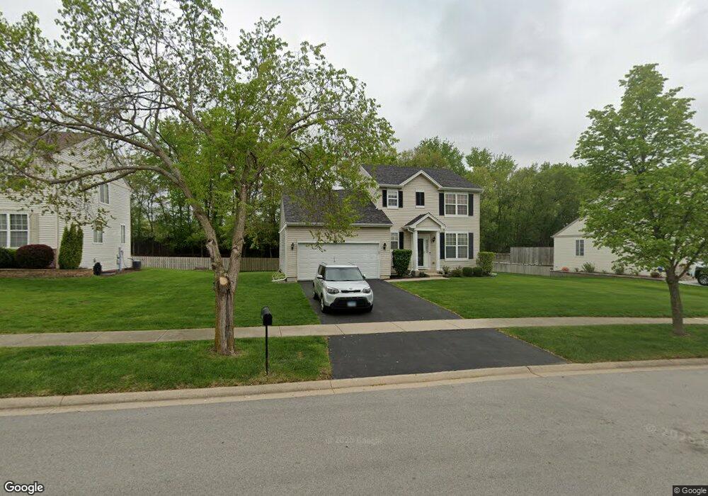
709 Briarcliff Dr Minooka, IL 60447
North Minooka NeighborhoodEstimated Value: $314,000 - $358,789
About This Home
This home is located at 709 Briarcliff Dr, Minooka, IL 60447 and is currently estimated at $334,697, approximately $194 per square foot. 709 Briarcliff Dr is a home located in Kendall County with nearby schools including Jones Elementary School, Minooka Junior High School, and Minooka Intermediate School.
Ownership History
We collect this data history from publicly available records. To have your information removed, we recommend requesting removal directly through your county’s website.
Purchase Details
Home Financials for this Owner
Home Financials are based on the most recent Mortgage that was taken out on this home.Home Values in the Area
Average Home Value in this Area
Purchase History
We collect this data history from publicly available records. To have your information removed, we recommend requesting removal directly through your county’s website.
| Date | Buyer | Sale Price | Title Company |
|---|---|---|---|
| $212,000 | Nat |
Mortgage History
We collect this data history from publicly available records. To have your information removed, we recommend requesting removal directly through your county’s website.
| Date | Status | Borrower | Loan Amount |
|---|---|---|---|
| Closed | $42,350 | ||
| Open | $169,500 |
Tax History
We collect this data history from publicly available records. To have your information removed, we recommend requesting removal directly through your county’s website.
| Year | Tax Paid | Tax Assessment Tax Assessment Total Assessment is a certain percentage of the fair market value that is determined by local assessors to be the total taxable value of land and additions on the property. | Land | Improvement |
|---|---|---|---|---|
| 2025 | $8,249 | $110,595 | $16,000 | $94,595 |
| 2024 | $8,249 | $105,199 | $15,425 | $89,774 |
| 2023 | $6,504 | $96,213 | $14,690 | $81,523 |
| 2022 | $6,504 | $82,496 | $13,990 | $68,506 |
| 2021 | $6,374 | $78,864 | $14,203 | $64,661 |
| 2020 | $6,313 | $75,326 | $13,566 | $61,760 |
| 2019 | $6,357 | $73,950 | $13,318 | $60,632 |
| 2018 | $6,142 | $72,336 | $13,027 | $59,309 |
| 2017 | $6,024 | $68,157 | $13,027 | $55,130 |
| 2016 | $2,802 | $63,347 | $12,866 | $50,481 |
| 2015 | $5,333 | $60,118 | $12,210 | $47,908 |
| 2014 | -- | $57,584 | $12,210 | $45,374 |
| 2013 | -- | $57,584 | $12,210 | $45,374 |
Map
- 704 Camden Dr
- 635 Gallant Dr
- 824 Briarcliff Dr
- 1515 Elysium Dr
- 905 Avalon Way
- 909 Avalon Way
- 194 acres W Holt Rd
- 2049 Isabella Ln
- 2041 Isabella Ln
- 4500 Bell Rd
- 806 Heritage Woods Dr
- 2033 Isabella
- 2076 Waters Edge Dr
- Lot 1 Minooka Ridge & Jones Rd
- LOT 1 Bob Blair Rd
- 405 W Mondamin St
- 208 N Wabena Ave
- 307 Illini Dr
- 103 E Saint Marys St
- 6010-6060 E Minooka Rd
- 705 Briarcliff Dr
- 713 Briarcliff Dr
- 701 Briarcliff Dr
- 716 Briarcliff Dr
- 733 Gallant Dr
- 637 Briarcliff Dr
- 720 Briarcliff Dr
- 729 Gallant Dr
- 732 Gallant Dr
- 721 Briarcliff Dr
- 633 Briarcliff Dr
- 724 Briarcliff Dr
- 725 Gallant Dr
- 728 Gallant Dr
- 725 Briarcliff Dr
- 629 Briarcliff Dr Unit 1
- 728 Briarcliff Dr
- 724 Gallant Dr
- 721 Gallant Dr
- 717 Camden Dr
Ask me questions while you tour the home.