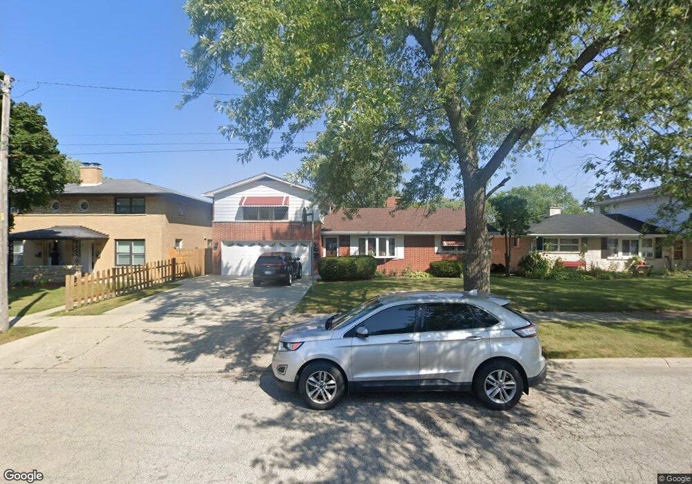
709 Carney Ave Waukegan, IL 60085
Norshore Park NeighborhoodEstimated Value: $260,000 - $328,000
4
Beds
3
Baths
1,932
Sq Ft
$153/Sq Ft
Est. Value
About This Home
This home is located at 709 Carney Ave, Waukegan, IL 60085 and is currently estimated at $294,890, approximately $152 per square foot. 709 Carney Ave is a home located in Lake County with nearby schools including Clearview Elementary School, John R Lewis Middle School, and Waukegan High School.
Ownership History
Date
Name
Owned For
Owner Type
Purchase Details
Closed on
Jan 15, 2007
Sold by
Grom Karl J and Grom Debra J
Bought by
Gomez Bruno and Hernandez Gisela
Current Estimated Value
Home Financials for this Owner
Home Financials are based on the most recent Mortgage that was taken out on this home.
Original Mortgage
$173,600
Outstanding Balance
$112,014
Interest Rate
7.69%
Mortgage Type
Commercial
Estimated Equity
$182,876
Create a Home Valuation Report for This Property
The Home Valuation Report is an in-depth analysis detailing your home's value as well as a comparison with similar homes in the area
Home Values in the Area
Average Home Value in this Area
Purchase History
| Date | Buyer | Sale Price | Title Company |
|---|---|---|---|
| Gomez Bruno | $217,000 | First American Title |
Source: Public Records
Mortgage History
| Date | Status | Borrower | Loan Amount |
|---|---|---|---|
| Open | Gomez Bruno | $173,600 |
Source: Public Records
Tax History Compared to Growth
Tax History
| Year | Tax Paid | Tax Assessment Tax Assessment Total Assessment is a certain percentage of the fair market value that is determined by local assessors to be the total taxable value of land and additions on the property. | Land | Improvement |
|---|---|---|---|---|
| 2024 | $6,477 | $85,682 | $12,840 | $72,842 |
| 2023 | $5,430 | $76,689 | $10,996 | $65,693 |
| 2022 | $5,430 | $61,539 | $9,535 | $52,004 |
| 2021 | $5,734 | $61,002 | $9,452 | $51,550 |
| 2020 | $5,762 | $56,831 | $8,806 | $48,025 |
| 2019 | $5,746 | $52,076 | $8,069 | $44,007 |
| 2018 | $5,340 | $47,680 | $10,383 | $37,297 |
| 2017 | $5,147 | $42,183 | $9,186 | $32,997 |
| 2016 | $4,737 | $36,655 | $7,982 | $28,673 |
| 2015 | $4,528 | $32,807 | $7,144 | $25,663 |
| 2014 | $1,749 | $15,875 | $7,498 | $8,377 |
| 2012 | $1,722 | $17,200 | $8,124 | $9,076 |
Source: Public Records
Map
Nearby Homes
- 819 S Fulton Ave
- 12601 W Atlantic Ave
- 2116 & 2101 Williamsburg Dr
- 1712 11th St
- 2726 W Hidden Glen Dr
- 3027 Belvidere Rd
- 49 S Lewis Ave
- 446 S Jackson St
- 910 Cummings Ave
- 671 Oldsmar Ln
- 1521 Catalpa Ave
- 3159 Jeanette Ave
- 1511 14th St
- 815 Prescott St
- 724 10th St
- 3298 7th St
- 1244 Victoria Ave
- 24 Washington Terrace
- 600 Sunderlin St
- 631 8th St