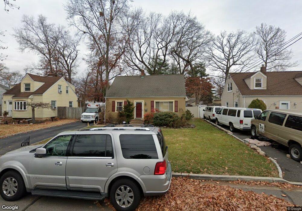
709 Coolidge St Unit 11 Plainfield, NJ 07062
Estimated Value: $364,495 - $461,000
Studio
--
Bath
768
Sq Ft
$544/Sq Ft
Est. Value
About This Home
This home is located at 709 Coolidge St Unit 11, Plainfield, NJ 07062 and is currently estimated at $417,874, approximately $544 per square foot. 709 Coolidge St Unit 11 is a home located in Union County with nearby schools including Frederic W. Cook School, Emerson Community School, and Maxson Middle School.
Ownership History
Date
Name
Owned For
Owner Type
Purchase Details
Closed on
Nov 19, 2005
Sold by
Delaney Michael T
Bought by
Alexander Lynn Aupont
Current Estimated Value
Home Financials for this Owner
Home Financials are based on the most recent Mortgage that was taken out on this home.
Original Mortgage
$253,648
Outstanding Balance
$139,826
Interest Rate
6.14%
Mortgage Type
FHA
Estimated Equity
$278,048
Create a Home Valuation Report for This Property
The Home Valuation Report is an in-depth analysis detailing your home's value as well as a comparison with similar homes in the area
Home Values in the Area
Average Home Value in this Area
Purchase History
| Date | Buyer | Sale Price | Title Company |
|---|---|---|---|
| Alexander Lynn Aupont | $259,900 | -- |
Source: Public Records
Mortgage History
| Date | Status | Borrower | Loan Amount |
|---|---|---|---|
| Open | Alexander Lynn Aupont | $253,648 |
Source: Public Records
Tax History
| Year | Tax Paid | Tax Assessment Tax Assessment Total Assessment is a certain percentage of the fair market value that is determined by local assessors to be the total taxable value of land and additions on the property. | Land | Improvement |
|---|---|---|---|---|
| 2025 | $6,986 | $80,000 | $50,000 | $30,000 |
| 2024 | $6,917 | $80,000 | $50,000 | $30,000 |
| 2023 | $6,917 | $80,000 | $50,000 | $30,000 |
| 2022 | $6,767 | $80,000 | $50,000 | $30,000 |
| 2021 | $6,708 | $80,000 | $50,000 | $30,000 |
| 2020 | $6,689 | $80,000 | $50,000 | $30,000 |
| 2019 | $6,689 | $80,000 | $50,000 | $30,000 |
| 2018 | $6,549 | $80,000 | $50,000 | $30,000 |
| 2017 | $6,389 | $80,000 | $50,000 | $30,000 |
| 2016 | $6,258 | $80,000 | $50,000 | $30,000 |
| 2015 | $6,074 | $80,000 | $50,000 | $30,000 |
| 2014 | -- | $80,000 | $50,000 | $30,000 |
Source: Public Records
Map
Nearby Homes
- 837 Coolidge St Unit 39
- 1464 Jean Terrace Unit 68
- 848 Adam Cir
- 810 Leland Ave Unit 14
- 904 Sterling St
- 481 Terrill Rd
- 15 La Grande Ave
- 1365 Columbia Ave Unit 69
- 807 Berkeley Ave Unit 9
- 519 Terrill Rd
- 1364 George St
- 835 Dixie Ln Unit 37
- 1415 George St Unit 23
- 930 Cushing Place Unit 32
- 25 Paterson Rd
- 1107-11 North Ave
- 1107 North Ave Unit 11
- 603 Terrill Rd
- 263 Colonial Place Unit 65
- 917 Fernwood Ave Unit 23
- 713 Coolidge St Unit 15
- 705 Coolidge St Unit 7
- 717 Coolidge St Unit 19
- 701 Coolidge St Unit 3
- 708 Coolidge St Unit 12
- 721 Coolidge St Unit 23
- 723 Coolidge St
- 704-06 Coolidge St
- 704 Coolidge St Unit 6
- 704 Sterling St Unit 6
- 1332 E 7th St
- 1338 E 7th St Unit 40
- 1334 E 7th St Unit 36
- 708 Sterling St Unit 10
- 700 Sterling St Unit 2
- 714 Coolidge St Unit 18
- 1328 E 7th St Unit 32
- 1330 E 7th St
- 720-22 Coolidge St
- 720 Coolidge St Unit 22
Your Personal Tour Guide
Ask me questions while you tour the home.