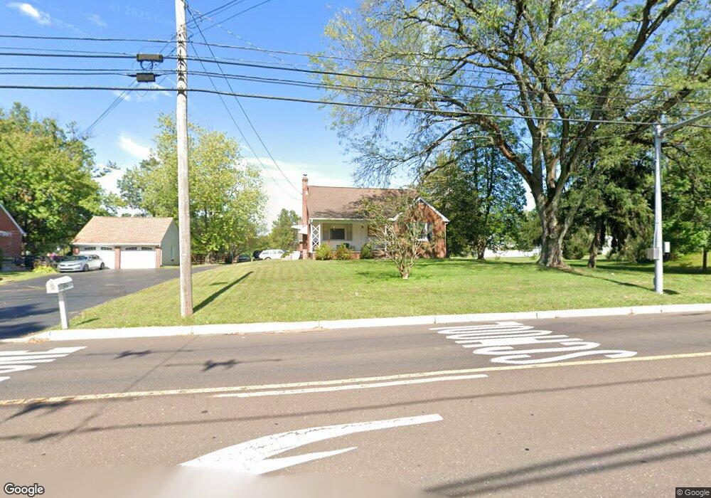
709 Cowpath Rd Hatfield, PA 19440
Hatfield AreaEstimated Value: $504,000 - $603,000
About This Home
This home is located at 709 Cowpath Rd, Hatfield, PA 19440 and is currently estimated at $545,197, approximately $220 per square foot. 709 Cowpath Rd is a home located in Montgomery County with nearby schools including A. M. Kulp Elementary School, Pennfield Middle School, and North Penn Senior High School.
Ownership History
We collect this data history from publicly available records. To have your information removed, we recommend requesting removal directly through your county’s website.
Purchase Details
Purchase Details
Home Values in the Area
Average Home Value in this Area
Purchase History
We collect this data history from publicly available records. To have your information removed, we recommend requesting removal directly through your county’s website.
| Date | Buyer | Sale Price | Title Company |
|---|---|---|---|
| $184,000 | -- | ||
| $163,000 | -- |
Tax History
We collect this data history from publicly available records. To have your information removed, we recommend requesting removal directly through your county’s website.
| Year | Tax Paid | Tax Assessment Tax Assessment Total Assessment is a certain percentage of the fair market value that is determined by local assessors to be the total taxable value of land and additions on the property. | Land | Improvement |
|---|---|---|---|---|
| 2026 | $6,471 | $149,180 | ||
| 2025 | $5,972 | $149,180 | $53,110 | $96,070 |
| 2024 | $5,972 | $149,180 | $53,110 | $96,070 |
| 2023 | $5,716 | $149,180 | $53,110 | $96,070 |
| 2022 | $5,530 | $149,180 | $53,110 | $96,070 |
| 2021 | $5,373 | $149,180 | $53,110 | $96,070 |
| 2020 | $5,246 | $149,180 | $53,110 | $96,070 |
| 2019 | $5,158 | $149,180 | $53,110 | $96,070 |
| 2018 | $5,158 | $149,180 | $53,110 | $96,070 |
| 2017 | $4,962 | $149,180 | $53,110 | $96,070 |
| 2016 | $4,904 | $149,180 | $53,110 | $96,070 |
| 2015 | $4,707 | $149,180 | $53,110 | $96,070 |
| 2014 | $4,707 | $149,180 | $53,110 | $96,070 |
Map
- 1047 Cowpath Rd
- 2045 Foster Rd
- 2010 Pine St
- Lot Fortuna Dr
- 7 Fortuna Dr
- 2 Fortuna Dr
- 6 Fortuna Dr
- Lot 0 Fortuna Dr
- 2206 Lenhart Rd
- 2560 Holly Ln
- 1340 Cowpath Rd
- 1315 Deer Run Rd
- 1037 Chapman Cir
- 861 Wedgewood Dr
- 1441 W Orvilla Rd
- 2390 Lenhart Rd
- 2247 E Orvilla Rd
- 2260 W Walnut St
- 1306 W Orvilla Rd
- 1503 Tarrington Way
- 715 Cowpath Rd Unit 9
- 1922 Line Lexington Rd
- 708 Cowpath Rd
- 703 Cowpath Rd
- 1930 Line Lexington Rd
- 722 Cowpath Rd
- 1936 Line Lexington Rd
- 632 Cowpath Rd
- 660 Cowpath Rd
- 1942 Line Lexington Rd
- 625 Cowpath Rd
- 1931 Line Lexington Rd
- 620 Cowpath Rd
- 1937 Line Lexington Rd
- 1950 Line Lexington Rd
- 612 Cowpath Rd
- 808 Cowpath Rd
- 615 Cowpath Rd
- 2105 Rebecca Dr
- 2000 Line Lexington Rd
Ask me questions while you tour the home.