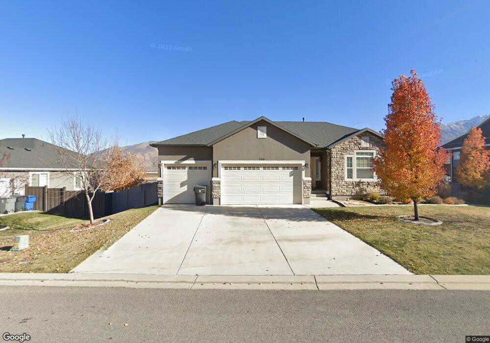
709 Crest Dale Ln Unit 89 Santaquin, UT 84655
Estimated Value: $562,000 - $645,000
3
Beds
2
Baths
3,813
Sq Ft
$158/Sq Ft
Est. Value
About This Home
This home is located at 709 Crest Dale Ln Unit 89, Santaquin, UT 84655 and is currently estimated at $601,700, approximately $157 per square foot. 709 Crest Dale Ln Unit 89 is a home located in Utah County with nearby schools including Santaquin Elementary School, Payson Junior High School, and Payson High School.
Ownership History
Date
Name
Owned For
Owner Type
Purchase Details
Closed on
Aug 31, 2016
Sold by
Salisbury Developers Inc
Bought by
Waikins David R and Waikins Leah R
Current Estimated Value
Home Financials for this Owner
Home Financials are based on the most recent Mortgage that was taken out on this home.
Original Mortgage
$234,400
Outstanding Balance
$187,230
Interest Rate
3.43%
Mortgage Type
New Conventional
Estimated Equity
$414,470
Purchase Details
Closed on
May 24, 2016
Sold by
Land Salisbury
Bought by
Salisbury Developers Inc
Home Financials for this Owner
Home Financials are based on the most recent Mortgage that was taken out on this home.
Original Mortgage
$223,200
Interest Rate
3.59%
Mortgage Type
Construction
Purchase Details
Closed on
Sep 29, 2011
Sold by
Summit Ridge Communities Llc
Bought by
Central Bank
Create a Home Valuation Report for This Property
The Home Valuation Report is an in-depth analysis detailing your home's value as well as a comparison with similar homes in the area
Home Values in the Area
Average Home Value in this Area
Purchase History
| Date | Buyer | Sale Price | Title Company |
|---|---|---|---|
| Waikins David R | -- | Gt Title Services | |
| Salisbury Developers Inc | -- | Gt Title Services | |
| Central Bank | -- | None Available |
Source: Public Records
Mortgage History
| Date | Status | Borrower | Loan Amount |
|---|---|---|---|
| Open | Waikins David R | $234,400 | |
| Previous Owner | Salisbury Developers Inc | $223,200 |
Source: Public Records
Tax History Compared to Growth
Tax History
| Year | Tax Paid | Tax Assessment Tax Assessment Total Assessment is a certain percentage of the fair market value that is determined by local assessors to be the total taxable value of land and additions on the property. | Land | Improvement |
|---|---|---|---|---|
| 2025 | $2,974 | $606,100 | $177,700 | $428,400 |
| 2024 | $2,974 | $296,175 | $0 | $0 |
| 2023 | $3,098 | $309,485 | $0 | $0 |
| 2022 | $3,065 | $315,865 | $0 | $0 |
| 2021 | $2,684 | $428,700 | $106,100 | $322,600 |
| 2020 | $2,494 | $386,000 | $75,800 | $310,200 |
| 2019 | $2,158 | $341,500 | $71,800 | $269,700 |
| 2018 | $2,046 | $308,800 | $66,200 | $242,600 |
| 2017 | $1,705 | $137,500 | $0 | $0 |
| 2016 | -- | $51,100 | $0 | $0 |
| 2015 | $618 | $47,900 | $0 | $0 |
| 2014 | $568 | $43,900 | $0 | $0 |
Source: Public Records
Map
Nearby Homes
- 583 Sunset Dr
- 490 Firestone Dr
- 926 S Tanner Rd
- 519 Stone Way
- 633 Little Rock Dr
- 402 Topaz Dr
- 1022 Vista Ridge Dr Unit 149
- 449 Travertine Way
- 1103 Vista Ridge Dr
- 346 Red Rock Dr
- 1144 Crest Dale Ln
- 1217 Crest Dale Ln
- 1208 Crest Dale Ln
- 1226 Crest Dale Ln
- 1263 Crest Dale Ln
- 1858 W View Cove
- 1260 Crest Dale Ln
- 1267 W View Dr
- 1859 W View Cove
- 1851 W View Cove
- 723 Crest Dale Ln Unit 90
- 723 Crest Dale Ln Unit COLUMB
- 693 Crest Dale Ln Unit 88
- 693 Crest Dale Ln
- 716 Sunset Dr
- 716 Sunset Dr Unit 71
- 716 Sunset Dr Unit 71
- 679 Crest Dale Ln Unit 87
- 700 Sunset Dr Unit 72
- 700 Sunset Dr
- 730 Sunset Dr Unit 70
- 737 Crest Dale Ln Unit 91
- 737 Crest Dale Ln Unit COLUMB
- 702 Crest Dale Ln
- 700 Sunset Dr Unit 72
- 530 Crest Dale Ln
- 530 Crest Dale Ln
- 730 Sunset Dr Unit 70
- 724 Crest Dale Ln
- 688 Sunset Dr Unit 73