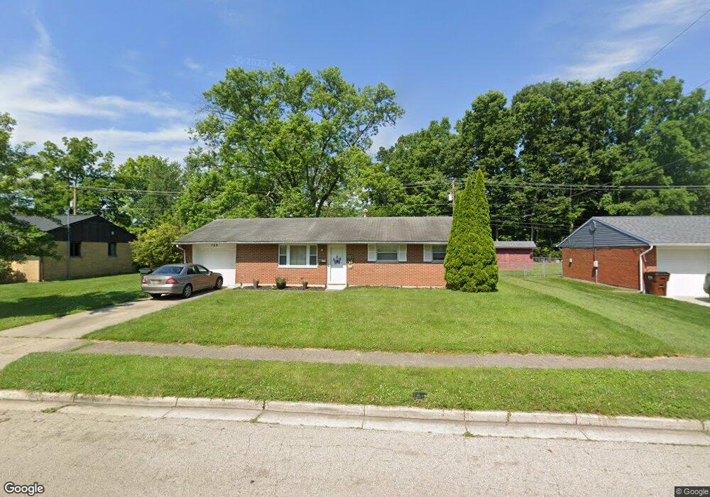
709 Damian St Vandalia, OH 45377
Estimated Value: $180,000 - $196,183
3
Beds
2
Baths
1,107
Sq Ft
$173/Sq Ft
Est. Value
About This Home
This home is located at 709 Damian St, Vandalia, OH 45377 and is currently estimated at $191,296, approximately $172 per square foot. 709 Damian St is a home located in Montgomery County with nearby schools including Helke Elementary School, Morton Middle School, and Butler High School.
Ownership History
Date
Name
Owned For
Owner Type
Purchase Details
Closed on
Sep 27, 2006
Sold by
Fannie Mae
Bought by
Wilson Eva C
Current Estimated Value
Home Financials for this Owner
Home Financials are based on the most recent Mortgage that was taken out on this home.
Original Mortgage
$4,120
Interest Rate
6.49%
Mortgage Type
Stand Alone Second
Purchase Details
Closed on
May 19, 2006
Sold by
Sturgeon Tommy Ray and Mortgage Electronic Registrati
Bought by
Federal National Mortgage Association
Purchase Details
Closed on
Aug 16, 2001
Sold by
Dorothy Sturgeon
Bought by
Sturgeon Tommy Ray
Purchase Details
Closed on
Oct 2, 1998
Sold by
Fleig Linda C and Fleig Linda C
Bought by
Sturgeon Dorothy
Create a Home Valuation Report for This Property
The Home Valuation Report is an in-depth analysis detailing your home's value as well as a comparison with similar homes in the area
Home Values in the Area
Average Home Value in this Area
Purchase History
| Date | Buyer | Sale Price | Title Company |
|---|---|---|---|
| Wilson Eva C | $103,000 | None Available | |
| Federal National Mortgage Association | $90,000 | None Available | |
| Sturgeon Tommy Ray | -- | -- | |
| Sturgeon Dorothy | $95,500 | -- | |
| Sturgeon Dorothy | $95,500 | -- |
Source: Public Records
Mortgage History
| Date | Status | Borrower | Loan Amount |
|---|---|---|---|
| Previous Owner | Wilson Eva C | $4,120 | |
| Previous Owner | Wilson Eva C | $102,159 |
Source: Public Records
Tax History Compared to Growth
Tax History
| Year | Tax Paid | Tax Assessment Tax Assessment Total Assessment is a certain percentage of the fair market value that is determined by local assessors to be the total taxable value of land and additions on the property. | Land | Improvement |
|---|---|---|---|---|
| 2024 | $2,606 | $48,640 | $12,400 | $36,240 |
| 2023 | $2,606 | $48,640 | $12,400 | $36,240 |
| 2022 | $1,721 | $35,240 | $8,980 | $26,260 |
| 2021 | $1,722 | $35,240 | $8,980 | $26,260 |
| 2020 | $1,719 | $35,240 | $8,980 | $26,260 |
| 2019 | $1,417 | $28,730 | $7,810 | $20,920 |
| 2018 | $1,419 | $28,730 | $7,810 | $20,920 |
| 2017 | $1,409 | $28,730 | $7,810 | $20,920 |
| 2016 | $1,404 | $28,320 | $7,810 | $20,510 |
| 2015 | $1,387 | $28,320 | $7,810 | $20,510 |
| 2014 | $1,387 | $28,320 | $7,810 | $20,510 |
| 2012 | -- | $31,370 | $8,740 | $22,630 |
Source: Public Records
Map
Nearby Homes
- 727 Paula St
- 1072 Pool Ave
- 417 Randler Ave
- 910 Bright Ave
- 1051 Bailey Ave
- 808 Stewville Dr
- 485 Pilot Point Unit 1-301
- 475 Pilot Point 1-300
- 465 Pilot Point 1-302
- 485 Pilot Point 1-301
- 860 Helke Rd
- 475 Pilot Point Unit 1-300
- 520 Buttercup Ave
- 626 W National Rd
- 465 Pilot Point Unit 1-302
- 8375 Peters Pike
- 1588 Middle Park Dr
- 3431 Mulberry Rd
- 246 Crest Hill Ave
- 25 Long St