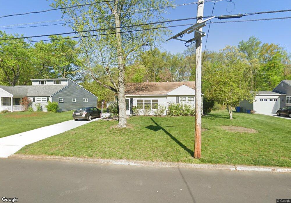
709 Devon Rd Moorestown, NJ 08057
Estimated Value: $362,274 - $562,000
Studio
--
Bath
1,544
Sq Ft
$312/Sq Ft
Est. Value
About This Home
This home is located at 709 Devon Rd, Moorestown, NJ 08057 and is currently estimated at $481,819, approximately $312 per square foot. 709 Devon Rd is a home located in Burlington County with nearby schools including George C. Baker Elementary School, Moorestown Upper Elementary School, and William Allen Middle School.
Ownership History
Date
Name
Owned For
Owner Type
Purchase Details
Closed on
Mar 20, 2012
Sold by
Elberson Constance R
Bought by
Horgan Constance L
Current Estimated Value
Purchase Details
Closed on
Apr 13, 2006
Sold by
Elberson John T and Elberson Constance R
Bought by
Elberson Constance R
Create a Home Valuation Report for This Property
The Home Valuation Report is an in-depth analysis detailing your home's value as well as a comparison with similar homes in the area
Home Values in the Area
Average Home Value in this Area
Purchase History
| Date | Buyer | Sale Price | Title Company |
|---|---|---|---|
| Horgan Constance L | -- | None Available | |
| Elberson Constance R | -- | None Available |
Source: Public Records
Tax History
| Year | Tax Paid | Tax Assessment Tax Assessment Total Assessment is a certain percentage of the fair market value that is determined by local assessors to be the total taxable value of land and additions on the property. | Land | Improvement |
|---|---|---|---|---|
| 2025 | $6,273 | $219,400 | $126,600 | $92,800 |
| 2024 | $6,084 | $219,400 | $126,600 | $92,800 |
| 2023 | $6,084 | $219,400 | $126,600 | $92,800 |
| 2022 | $6,053 | $219,400 | $126,600 | $92,800 |
| 2021 | $5,481 | $215,900 | $0 | $0 |
| 2020 | $2,342 | $215,900 | $0 | $0 |
| 2019 | $2,236 | $219,400 | $126,600 | $92,800 |
| 2018 | $2,068 | $219,400 | $126,600 | $92,800 |
| 2017 | $5,605 | $219,400 | $126,600 | $92,800 |
| 2016 | $5,579 | $219,400 | $126,600 | $92,800 |
| 2015 | $5,526 | $216,700 | $126,600 | $90,100 |
| 2014 | $5,255 | $216,700 | $126,600 | $90,100 |
Source: Public Records
Map
Nearby Homes
- 149 Chalkboard Ct
- 206 E Camden Ave
- 141 Chalkboard Ct Unit 141
- 9 N Lenola Rd
- 21 N Lenola Rd
- 5 Vincent Way
- 27 Domenica Dr
- 11 Errickson Ave
- 15 Circle Dr
- 126 S Lenola Rd
- 93 Westbrook Dr
- 401 W 3rd St
- 307 Fairview Ave
- 601 Stratford Dr
- 106 Pine St
- 444 Shady Ln
- 543 Bethel Ave
- 705 Iron Post Rd
- 26 Morris Ave
- 115 E Kings Hwy Unit 187
- 711 Devon Rd
- 707 Devon Rd
- 713 Devon Rd
- 704 Devon Rd
- 705 Devon Rd
- 707 Covington Terrace
- 623 Devon Rd
- 702 Devon Rd
- 705 Covington Terrace
- 703 Devon Rd
- 703 Covington Terrace
- 625 Devon Rd
- 701 Devon Rd
- 700 Devon Rd
- 706 Covington Terrace
- 708 Covington Terrace
- 701 Covington Terrace
- 704 Covington Terrace
- 710 Covington Terrace
- 302 Merion Ave
Your Personal Tour Guide
Ask me questions while you tour the home.