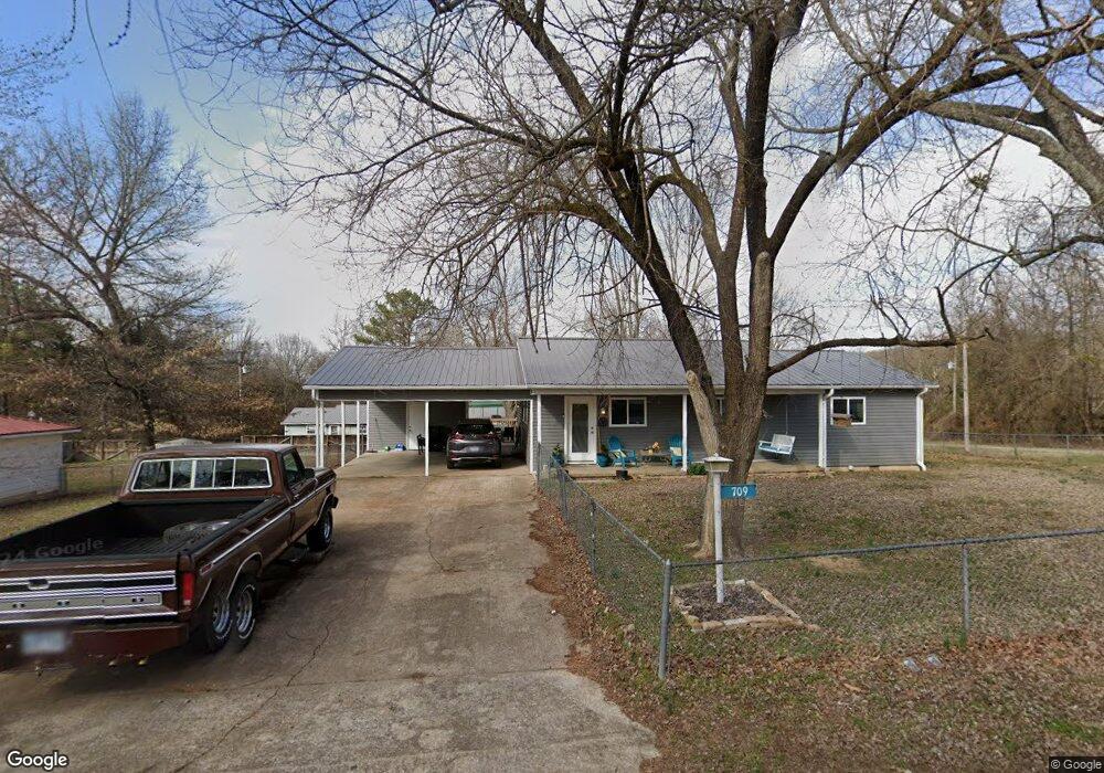
709 Dogwood St Huntsville, AR 72740
Estimated Value: $188,000 - $222,000
--
Bed
1
Bath
1,232
Sq Ft
$168/Sq Ft
Est. Value
About This Home
This home is located at 709 Dogwood St, Huntsville, AR 72740 and is currently estimated at $207,156, approximately $168 per square foot. 709 Dogwood St is a home located in Madison County.
Ownership History
Date
Name
Owned For
Owner Type
Purchase Details
Closed on
Feb 15, 2023
Sold by
Whorton Family Revocable Living Trust
Bought by
Branham Brandon and Mcbryde Holdings Of Madison County Llc
Current Estimated Value
Purchase Details
Closed on
Apr 12, 2022
Sold by
Whittemore Rentals Llc
Bought by
Branham Brandon and Mcbryde Holdings Of Madison County Llc
Home Financials for this Owner
Home Financials are based on the most recent Mortgage that was taken out on this home.
Original Mortgage
$69,972
Interest Rate
4.72%
Mortgage Type
Credit Line Revolving
Purchase Details
Closed on
Oct 1, 1990
Bought by
Whittemore James E
Create a Home Valuation Report for This Property
The Home Valuation Report is an in-depth analysis detailing your home's value as well as a comparison with similar homes in the area
Home Values in the Area
Average Home Value in this Area
Purchase History
| Date | Buyer | Sale Price | Title Company |
|---|---|---|---|
| Branham Brandon | $50,000 | None Listed On Document | |
| Branham Brandon | $85,000 | Allred Billy J | |
| Whittemore James E | $30,000 | -- |
Source: Public Records
Mortgage History
| Date | Status | Borrower | Loan Amount |
|---|---|---|---|
| Previous Owner | Branham Brandon | $69,972 |
Source: Public Records
Tax History Compared to Growth
Tax History
| Year | Tax Paid | Tax Assessment Tax Assessment Total Assessment is a certain percentage of the fair market value that is determined by local assessors to be the total taxable value of land and additions on the property. | Land | Improvement |
|---|---|---|---|---|
| 2024 | $381 | $33,240 | $2,880 | $30,360 |
| 2023 | $414 | $18,510 | $2,700 | $15,810 |
| 2022 | $359 | $16,280 | $2,700 | $13,580 |
| 2021 | $702 | $16,280 | $2,700 | $13,580 |
| 2020 | $638 | $13,010 | $3,000 | $10,010 |
| 2019 | $638 | $13,010 | $3,000 | $10,010 |
| 2018 | $587 | $13,010 | $3,000 | $10,010 |
| 2017 | $587 | $13,010 | $3,000 | $10,010 |
| 2016 | $587 | $13,010 | $3,000 | $10,010 |
| 2015 | $548 | $12,140 | $3,000 | $9,140 |
| 2014 | -- | $12,140 | $3,000 | $9,140 |
| 2013 | -- | $12,140 | $3,000 | $9,140 |
Source: Public Records
Map
Nearby Homes
- 205 Cherry Ln
- 0 Jenee Dr
- 306 N College St
- 0 Tbd 5551 Unit 1306152
- 0 Tbd 5551 Unit 1306149
- 103 War Eagle Ave
- 601 S Parrott Dr
- 141 Hawn Ave
- 108 Cedar Heights
- 113 Cedar Heights
- 305 Hawkins Ave
- 707 S Parrott Dr
- 311 Madison St
- 0 Madison St
- TBD 5551 Madison St
- TBD Madison St
- 902 Acorn St
- 207 Tonya Loop
- 181 Tonya Loop
- 613 N Gaskill St