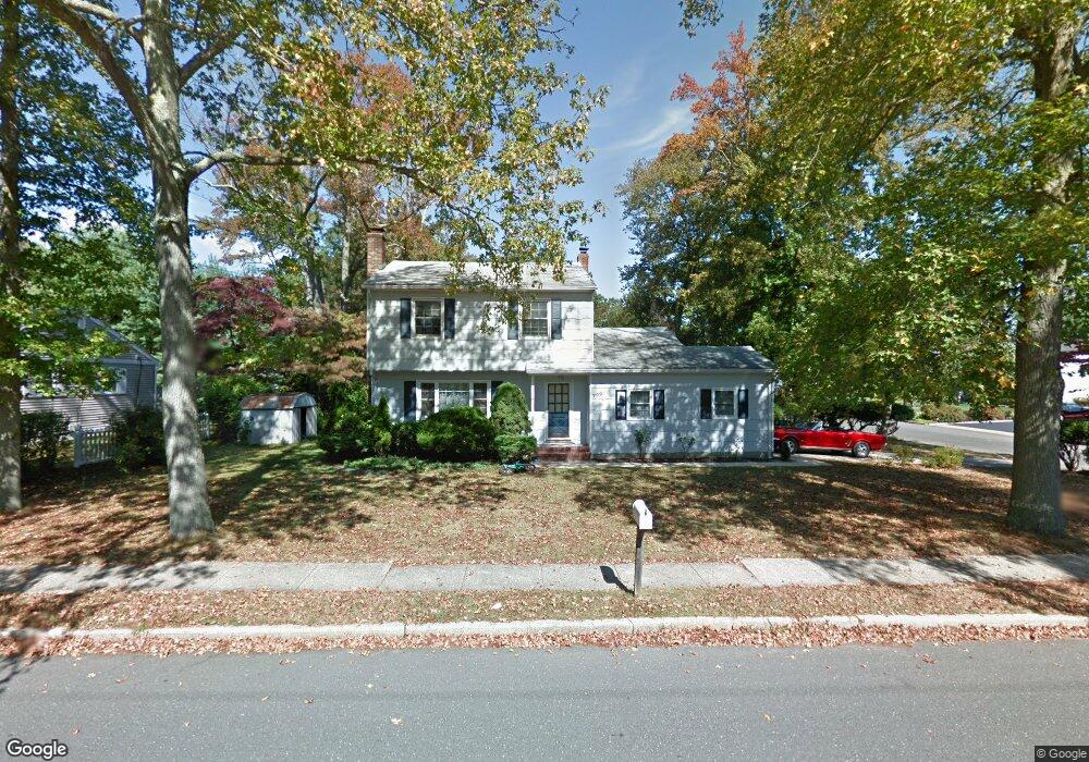
709 Dow Ave Oakhurst, NJ 07755
Estimated Value: $707,000 - $778,000
3
Beds
2
Baths
1,542
Sq Ft
$483/Sq Ft
Est. Value
About This Home
This home is located at 709 Dow Ave, Oakhurst, NJ 07755 and is currently estimated at $744,100, approximately $482 per square foot. 709 Dow Ave is a home located in Monmouth County with nearby schools including Ocean Township High School, St. Mary of the Assumption School, and Bet Yaakov of the Jersey Shore.
Ownership History
Date
Name
Owned For
Owner Type
Purchase Details
Closed on
Nov 24, 1998
Sold by
Beh Patricia
Bought by
Sano David and Sano Elizabeth
Current Estimated Value
Home Financials for this Owner
Home Financials are based on the most recent Mortgage that was taken out on this home.
Original Mortgage
$135,200
Outstanding Balance
$30,056
Interest Rate
6.8%
Estimated Equity
$714,044
Create a Home Valuation Report for This Property
The Home Valuation Report is an in-depth analysis detailing your home's value as well as a comparison with similar homes in the area
Home Values in the Area
Average Home Value in this Area
Purchase History
| Date | Buyer | Sale Price | Title Company |
|---|---|---|---|
| Sano David | $169,000 | -- |
Source: Public Records
Mortgage History
| Date | Status | Borrower | Loan Amount |
|---|---|---|---|
| Open | Sano David | $135,200 |
Source: Public Records
Tax History
| Year | Tax Paid | Tax Assessment Tax Assessment Total Assessment is a certain percentage of the fair market value that is determined by local assessors to be the total taxable value of land and additions on the property. | Land | Improvement |
|---|---|---|---|---|
| 2025 | $8,425 | $633,700 | $442,700 | $191,000 |
| 2024 | $9,003 | $590,800 | $385,700 | $205,100 |
| 2023 | $9,003 | $588,800 | $389,500 | $199,300 |
| 2022 | $7,194 | $493,800 | $304,000 | $189,800 |
| 2021 | $7,194 | $394,600 | $228,000 | $166,600 |
| 2020 | $7,781 | $390,800 | $228,000 | $162,800 |
| 2019 | $8,211 | $402,700 | $209,000 | $193,700 |
| 2018 | $8,146 | $389,000 | $204,300 | $184,700 |
| 2017 | $7,968 | $378,900 | $204,300 | $174,600 |
| 2016 | $6,560 | $280,600 | $161,500 | $119,100 |
| 2015 | $6,627 | $287,000 | $171,000 | $116,000 |
| 2014 | $6,893 | $302,600 | $190,000 | $112,600 |
Source: Public Records
Map
Nearby Homes
- 1801 Finderne St
- 704 Carol Ave
- 708 Auth Ave
- 1904 Waverly St
- 130 Woolley Ct
- 709 Talmadge Ave
- 720 Talmadge Ave
- 603 Carol Ave
- 1630 Finderne St
- 6 Lotus Ct
- 104 Pear St
- 18 Branch Rd
- 14 Cotswold Cir Unit 8
- 120 Whalepond Rd
- 96 Whalepond Rd
- 27 Branch Rd
- 186 Whalepond Rd
- 46 Whalepond Rd
- 29 Fredric Dr
- 471 W Park Ave
- 711 Dow Ave
- 1903 Westfield St
- 1902 Holbrook St
- 707 Dow Ave
- 712 Dow Ave
- 1903 Holbrook St
- 706 Dow Ave
- 1905 Westfield St
- 705 Dow Ave
- 1906 Holbrook St
- 713 Dow Ave
- 1808 Holbrook St
- 1902 Westfield St
- 1902 Westfield St Unit X
- 1905 Holbrook St
- 1904 Finderne St
- 714 Dow Ave
- 704 Dow Ave
- 1807 Holbrook St
- 1910 Holbrook St
Your Personal Tour Guide
Ask me questions while you tour the home.