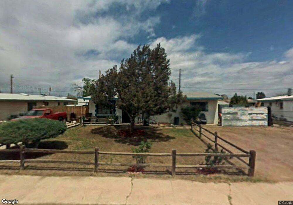
709 E Comstock St Benson, AZ 85602
Estimated Value: $52,000 - $148,000
Studio
--
Bath
1,266
Sq Ft
$77/Sq Ft
Est. Value
About This Home
This home is located at 709 E Comstock St, Benson, AZ 85602 and is currently estimated at $97,333, approximately $76 per square foot. 709 E Comstock St is a home with nearby schools including Benson Primary School, Benson Middle School, and Benson High School.
Ownership History
Date
Name
Owned For
Owner Type
Purchase Details
Closed on
Apr 27, 2023
Sold by
Edmiston Anthony Lee and Edmiston Christina Mae
Bought by
Cesolini Timothy and Cesolini Sunshine
Current Estimated Value
Home Financials for this Owner
Home Financials are based on the most recent Mortgage that was taken out on this home.
Original Mortgage
$80,000
Outstanding Balance
$77,777
Interest Rate
6.6%
Mortgage Type
Seller Take Back
Estimated Equity
$19,556
Purchase Details
Closed on
Mar 28, 2016
Sold by
Citifinancial Servicing Llc
Bought by
Edmiston Anthony Lee and Edmiston Christina Mae
Create a Home Valuation Report for This Property
The Home Valuation Report is an in-depth analysis detailing your home's value as well as a comparison with similar homes in the area
Home Values in the Area
Average Home Value in this Area
Purchase History
| Date | Buyer | Sale Price | Title Company |
|---|---|---|---|
| Cesolini Timothy | $80,000 | Pioneer Title | |
| Edmiston Anthony Lee | $17,000 | First American Title Ins Co |
Source: Public Records
Mortgage History
| Date | Status | Borrower | Loan Amount |
|---|---|---|---|
| Open | Cesolini Timothy | $80,000 |
Source: Public Records
Tax History
| Year | Tax Paid | Tax Assessment Tax Assessment Total Assessment is a certain percentage of the fair market value that is determined by local assessors to be the total taxable value of land and additions on the property. | Land | Improvement |
|---|---|---|---|---|
| 2025 | $527 | $6,093 | $1,200 | $4,893 |
| 2024 | $527 | $5,518 | $1,200 | $4,318 |
| 2023 | $504 | $4,831 | $1,200 | $3,631 |
| 2022 | $478 | $4,381 | $1,200 | $3,181 |
| 2021 | $492 | $3,875 | $1,200 | $2,675 |
| 2020 | $478 | $0 | $0 | $0 |
| 2019 | $499 | $0 | $0 | $0 |
| 2018 | $487 | $0 | $0 | $0 |
| 2017 | $528 | $0 | $0 | $0 |
| 2016 | $865 | $0 | $0 | $0 |
| 2015 | -- | $0 | $0 | $0 |
Source: Public Records
Map
Nearby Homes
- 646 E Tawni Dr
- 238 N Tawni Dr Unit 23
- 524 E 6th St
- 253 E 2nd St Unit 9
- 280 E Flint St
- 264 E Flint St Unit 11
- TBD E 6th St Unit 3
- TBD E 6th St
- 455 E Mark St
- TBD E Mark St
- 275 E Mark St
- 487 E Patrick Dr
- 165 E 6th St
- 138 E 6th St
- 162 W Flint St
- 1055 N Pomerene Rd
- 454 N Pomerene Rd
- 560 N Adams St
- 1297 E Old Homestead
- 612 N Adams St
- 220 N County Rd
- 211 N Scott Ave
- 230 N County Rd
- 704 E Comstock St
- 704 E Comstock St
- 712 E Comstock St
- 217 N Scott Ave
- 232 N County Rd
- 726 E Comstock St
- 202 N Scott Ave
- 227 N County Rd
- 223 N Scott Ave
- 221 County Rd
- 212 N Scott Ave
- 227 County Rd
- 699 E Lake Dr
- 234 N County Rd
- 218 N Scott Ave
- 734 E Comstock St
- 235 N Scott Ave
Your Personal Tour Guide
Ask me questions while you tour the home.