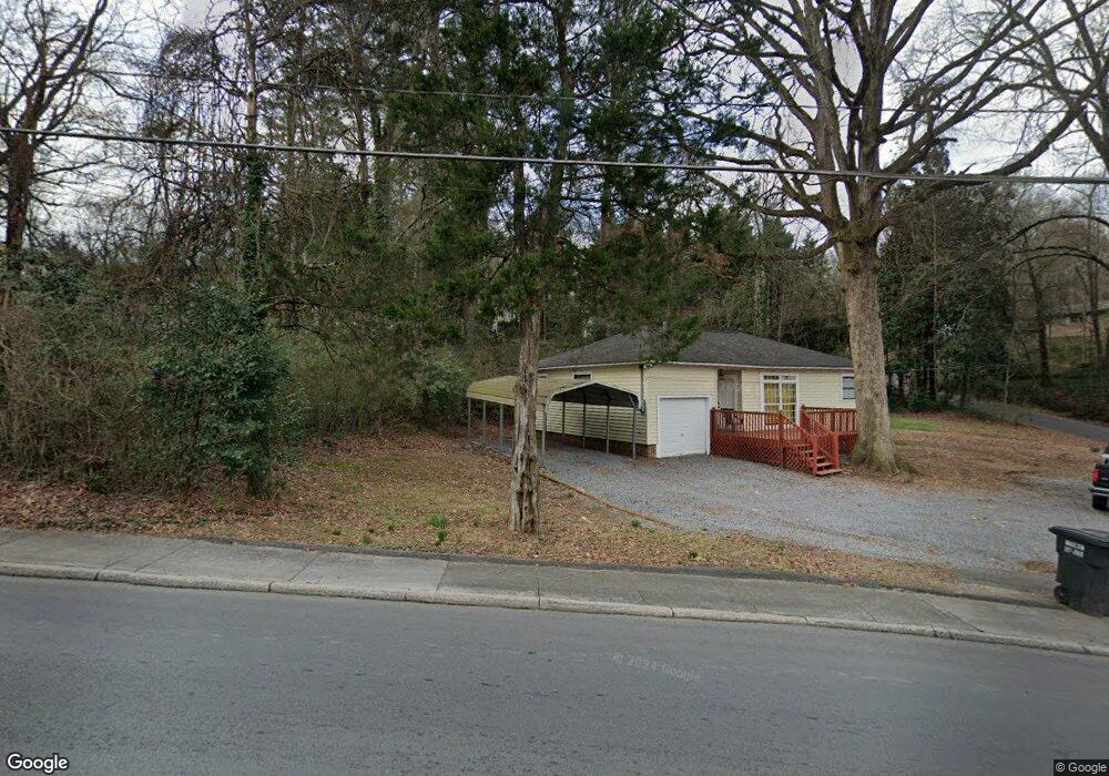
709 E Line St Calhoun, GA 30701
Estimated Value: $203,548 - $260,000
2
Beds
1
Bath
1,222
Sq Ft
$187/Sq Ft
Est. Value
About This Home
This home is located at 709 E Line St, Calhoun, GA 30701 and is currently estimated at $228,137, approximately $186 per square foot. 709 E Line St is a home located in Gordon County with nearby schools including Calhoun Elementary School, Calhoun Middle School, and Calhoun High School.
Ownership History
Date
Name
Owned For
Owner Type
Purchase Details
Closed on
Mar 22, 2024
Sold by
Nix Shirley Ruth
Bought by
Peb Properties Llc
Current Estimated Value
Purchase Details
Closed on
Nov 28, 2023
Sold by
Barton Jada Nacole
Bought by
Nix Shirley Ruth
Purchase Details
Closed on
Jun 10, 2009
Sold by
Nix Shirley Ruth
Bought by
Barton Jason Slade and Barton Jada Nacole
Purchase Details
Closed on
May 9, 2005
Sold by
Barton Otha Mae
Bought by
Barton Jason Slade
Purchase Details
Closed on
Aug 27, 1977
Bought by
Nix Shirley S Barton
Create a Home Valuation Report for This Property
The Home Valuation Report is an in-depth analysis detailing your home's value as well as a comparison with similar homes in the area
Purchase History
| Date | Buyer | Sale Price | Title Company |
|---|---|---|---|
| Peb Properties Llc | -- | -- | |
| Nix Shirley Ruth | -- | -- | |
| Barton Jason Slade | -- | -- | |
| Barton Jason Slade | -- | -- | |
| Nix Shirley S Barton | -- | -- |
Source: Public Records
Tax History
| Year | Tax Paid | Tax Assessment Tax Assessment Total Assessment is a certain percentage of the fair market value that is determined by local assessors to be the total taxable value of land and additions on the property. | Land | Improvement |
|---|---|---|---|---|
| 2025 | $1,866 | $71,000 | $12,520 | $58,480 |
| 2023 | $1,186 | $42,200 | $11,920 | $30,280 |
| 2022 | $395 | $41,520 | $13,120 | $28,400 |
| 2021 | $412 | $35,280 | $13,280 | $22,000 |
| 2020 | $420 | $35,680 | $13,280 | $22,400 |
| 2019 | $417 | $35,680 | $13,280 | $22,400 |
| 2018 | $281 | $31,160 | $12,600 | $18,560 |
| 2017 | $277 | $30,160 | $12,600 | $17,560 |
| 2016 | $277 | $30,160 | $12,600 | $17,560 |
| 2015 | $268 | $28,840 | $12,600 | $16,240 |
| 2014 | $224 | $24,776 | $11,290 | $13,486 |
Source: Public Records
Map
Nearby Homes
- 229 Hillcrest Dr
- 421 Boulevard Heights
- 511 Boulevard Heights
- 121 Oakhurst Terrace NE
- 110 Boston Rd
- 515 Woodlawn Ave
- 111 Meadow Ln
- 105 Rory Dr
- 107 Rory Dr
- 606 Pisgah Way
- 198 Hillcrest Dr
- 105 Garden Hill Dr
- 121 Hunt Dr
- 105 Bobwhite Dr
- 201 Crestmont Dr
- 101 Victory Ct
- 104 Bobwhite Dr
- 709 College St
- 712 College St
- 209 Gordon Ave
- 134 Boston Rd
- 202 Sequoyah Terrace
- 100 Rose Way
- 333 Trammell St
- 130 Boston Rd
- 133 Boston Rd
- 327 Trammell St
- 128 Boston Rd
- na E Line St
- E E Line St
- 203 Sequoyah Terrace
- 129 Boston Rd
- 205 Sequoyah Terrace
- 205 Hillcrest Dr Unit 205
- 205 Hillcrest Dr
- 205 Hillcrest Dr
- 323 Trammell St
- 218 Victory Dr
- 219 Victory Dr
- 415 E Line St
Your Personal Tour Guide
Ask me questions while you tour the home.