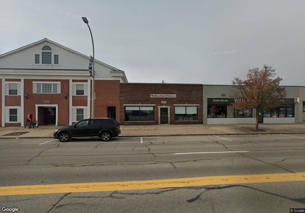
709 Huron Ave Port Huron, MI 48060
Estimated Value: $481,313
--
Bed
--
Bath
3,837
Sq Ft
$125/Sq Ft
Est. Value
About This Home
This home is located at 709 Huron Ave, Port Huron, MI 48060 and is currently estimated at $481,313, approximately $125 per square foot. 709 Huron Ave is a home located in St. Clair County with nearby schools including H.D. Crull Elementary School, Holland Woods Middle School, and Port Huron Northern High School.
Ownership History
Date
Name
Owned For
Owner Type
Purchase Details
Closed on
Nov 20, 2008
Sold by
Radtz James E and Radattz Angela C
Bought by
Signature Bank
Current Estimated Value
Purchase Details
Closed on
Jan 10, 2007
Sold by
Slupski Paul R and Slupski Kathleen
Bought by
Radatz James E and Radatz Angela C
Home Financials for this Owner
Home Financials are based on the most recent Mortgage that was taken out on this home.
Original Mortgage
$265,000
Interest Rate
6.24%
Mortgage Type
Future Advance Clause Open End Mortgage
Create a Home Valuation Report for This Property
The Home Valuation Report is an in-depth analysis detailing your home's value as well as a comparison with similar homes in the area
Home Values in the Area
Average Home Value in this Area
Purchase History
| Date | Buyer | Sale Price | Title Company |
|---|---|---|---|
| Signature Bank | $212,000 | None Available | |
| Radatz James E | $265,000 | None Available |
Source: Public Records
Mortgage History
| Date | Status | Borrower | Loan Amount |
|---|---|---|---|
| Previous Owner | Radatz James E | $265,000 |
Source: Public Records
Tax History Compared to Growth
Tax History
| Year | Tax Paid | Tax Assessment Tax Assessment Total Assessment is a certain percentage of the fair market value that is determined by local assessors to be the total taxable value of land and additions on the property. | Land | Improvement |
|---|---|---|---|---|
| 2025 | $4,505 | $142,800 | $0 | $0 |
| 2024 | $4,220 | $137,000 | $0 | $0 |
| 2023 | $3,997 | $130,600 | $0 | $0 |
| 2022 | $4,261 | $112,100 | $0 | $0 |
| 2021 | $4,068 | $108,200 | $0 | $0 |
| 2020 | $4,082 | $101,300 | $26,500 | $74,800 |
| 2019 | $4,007 | $62,400 | $0 | $0 |
| 2018 | $3,916 | $62,400 | $0 | $0 |
| 2017 | $3,597 | $61,400 | $0 | $0 |
| 2016 | $3,261 | $61,400 | $0 | $0 |
| 2015 | $3,200 | $58,300 | $30,400 | $27,900 |
| 2014 | $3,200 | $57,300 | $30,400 | $26,900 |
| 2013 | -- | $57,300 | $0 | $0 |
Source: Public Records
Map
Nearby Homes
- 805 Pine Grove Ave
- 201 Beers St Unit 32
- 201 Beers St Unit 44
- 201 Beers St Unit 53
- 201 Beers St Unit 34
- 822 Saint Clair St
- 815 Saint Clair St
- 919 Erie St
- 1401 Stanton St
- 915 10th Ave
- 1013 Miller St
- 443 11th St
- 604 11th St
- 1012 8th St
- 1303 10th Ave
- 1203 Varney St
- 1102 Lapeer Ave
- 1227 Young St
- 1503 Elk St
- 1433 Poplar St
- 701 Huron Ave
- 627 Huron Ave
- 722 Superior St
- 619 Huron Ave
- 512 Glenwood Ave
- 708 Huron Ave
- 516 Glenwood Ave
- 710 Huron Ave
- 704 Huron Ave
- 718 Huron Ave
- 707 Superior St
- 713 Superior St
- 721 Superior St
- 600 Beers St Unit 610
- 725 Superior St
- 703 Superior St
- 610 Glenwood Ave
- 727 Superior St
- 611 Beers St
- 421 Beers St