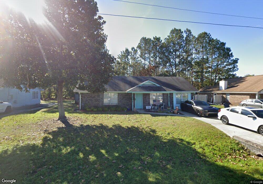
709 Kadi Ln Hinesville, GA 31313
Estimated Value: $187,000 - $218,000
3
Beds
2
Baths
1,390
Sq Ft
$150/Sq Ft
Est. Value
About This Home
This home is located at 709 Kadi Ln, Hinesville, GA 31313 and is currently estimated at $208,511, approximately $150 per square foot. 709 Kadi Ln is a home located in Liberty County with nearby schools including Button Gwinnett Elementary School, Snelson-Golden Middle School, and Bradwell Institute.
Ownership History
Date
Name
Owned For
Owner Type
Purchase Details
Closed on
Nov 3, 2003
Sold by
Davis Kimberly and Davis Brian
Bought by
Nadolski Jane M
Current Estimated Value
Purchase Details
Closed on
Dec 30, 1994
Bought by
Davis Kimberly and Davis Bri
Purchase Details
Closed on
Jul 22, 1991
Bought by
Miller Shaun and Miller K
Purchase Details
Closed on
Dec 28, 1990
Bought by
B & S Homes Inc
Purchase Details
Closed on
Jan 9, 1990
Bought by
Edenfield W J
Create a Home Valuation Report for This Property
The Home Valuation Report is an in-depth analysis detailing your home's value as well as a comparison with similar homes in the area
Home Values in the Area
Average Home Value in this Area
Purchase History
| Date | Buyer | Sale Price | Title Company |
|---|---|---|---|
| Nadolski Jane M | $63,000 | -- | |
| Davis Kimberly | $50,000 | -- | |
| Miller Shaun | $55,200 | -- | |
| B & S Homes Inc | -- | -- | |
| Edenfield W J | -- | -- |
Source: Public Records
Tax History Compared to Growth
Tax History
| Year | Tax Paid | Tax Assessment Tax Assessment Total Assessment is a certain percentage of the fair market value that is determined by local assessors to be the total taxable value of land and additions on the property. | Land | Improvement |
|---|---|---|---|---|
| 2024 | $2,337 | $68,671 | $14,000 | $54,671 |
| 2023 | $2,337 | $60,083 | $12,000 | $48,083 |
| 2022 | $1,906 | $46,466 | $9,600 | $36,866 |
| 2021 | $1,647 | $38,416 | $6,000 | $32,416 |
| 2020 | $1,661 | $38,416 | $6,000 | $32,416 |
| 2019 | $1,528 | $35,854 | $6,000 | $29,854 |
| 2018 | $1,539 | $36,236 | $6,000 | $30,236 |
| 2017 | $1,206 | $36,619 | $6,000 | $30,619 |
| 2016 | $1,505 | $37,001 | $6,000 | $31,001 |
| 2015 | $1,493 | $37,001 | $6,000 | $31,001 |
| 2014 | $1,493 | $36,330 | $5,200 | $31,130 |
| 2013 | -- | $37,621 | $8,000 | $29,621 |
Source: Public Records
Map
Nearby Homes
- 700 Kadi Ln
- 642 Honey Ridge Ln
- 1040 Varnedoe St
- 648 Honey Ridge Ln
- 214 Whitetail Cir
- 253 Glenn Bryant Rd
- 985 Pineland Ave
- 979B Pineland Ave Unit B
- 979B Pineland Ave
- 1100 Pineland Ave Unit 2D
- 1021 Bacon Rd
- 796 Peggy Sue St
- 1457 Blackhawk Hollow
- 1473 Ben Gay Way
- 14.96 Ac Ellie Ln
- 910 Brett Dr Unit 53
- 910 Brett Dr
- 1428 Abrahms Alley
- 1474 Ben Gay Way
- 1453 Sheridan Point