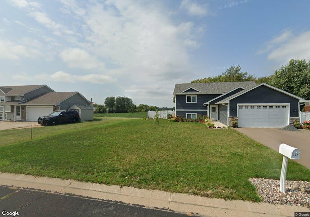
709 Lacie D Ln Roberts, WI 54023
Warren NeighborhoodEstimated Value: $339,000 - $356,000
2
Beds
1
Bath
1,028
Sq Ft
$338/Sq Ft
Est. Value
About This Home
This home is located at 709 Lacie D Ln, Roberts, WI 54023 and is currently estimated at $347,679, approximately $338 per square foot. 709 Lacie D Ln is a home located in St. Croix County with nearby schools including Saint Croix Central Elementary School, Saint Croix Central Middle School, and St. Croix Central High School.
Ownership History
Date
Name
Owned For
Owner Type
Purchase Details
Closed on
Jan 21, 2022
Sold by
Delta Construction Inc A Wisconsin Cor
Bought by
L. Lundgaard Leah
Current Estimated Value
Home Financials for this Owner
Home Financials are based on the most recent Mortgage that was taken out on this home.
Original Mortgage
$216,400
Outstanding Balance
$200,311
Interest Rate
3.45%
Mortgage Type
New Conventional
Estimated Equity
$147,368
Create a Home Valuation Report for This Property
The Home Valuation Report is an in-depth analysis detailing your home's value as well as a comparison with similar homes in the area
Home Values in the Area
Average Home Value in this Area
Purchase History
| Date | Buyer | Sale Price | Title Company |
|---|---|---|---|
| L. Lundgaard Leah | $291,400 | Loberg Law Office |
Source: Public Records
Mortgage History
| Date | Status | Borrower | Loan Amount |
|---|---|---|---|
| Open | L. Lundgaard Leah | $216,400 |
Source: Public Records
Tax History Compared to Growth
Tax History
| Year | Tax Paid | Tax Assessment Tax Assessment Total Assessment is a certain percentage of the fair market value that is determined by local assessors to be the total taxable value of land and additions on the property. | Land | Improvement |
|---|---|---|---|---|
| 2024 | $38 | $298,600 | $62,900 | $235,700 |
| 2023 | $4,450 | $195,700 | $31,500 | $164,200 |
| 2022 | $706 | $191,200 | $31,500 | $159,700 |
| 2021 | $692 | $31,500 | $31,500 | $0 |
| 2020 | $705 | $31,500 | $31,500 | $0 |
| 2019 | $681 | $31,500 | $31,500 | $0 |
| 2018 | $652 | $31,500 | $31,500 | $0 |
| 2017 | $573 | $31,500 | $31,500 | $0 |
| 2016 | $573 | $22,700 | $22,700 | $0 |
| 2015 | $654 | $22,700 | $22,700 | $0 |
| 2014 | $628 | $22,700 | $22,700 | $0 |
| 2013 | $598 | $22,700 | $22,700 | $0 |
Source: Public Records
Map
Nearby Homes
- xxx N Division St
- 1224 US Highway 12
- 403 N Cheyenne St
- 256 Dakota Ave
- 249 (Lot 240) Dakota Ave
- 241 (Lot 241) Dakota Ave
- 1108 Susan Ln
- 278 Eagle Ridge Dr
- 239 (Lot 254) Eagle Ridge Dr
- 262 (Lot 247) Eagle Ridge Dr
- 254 (Lot 246) Eagle Ridge Dr
- 246 (Lot 245) Eagle Ridge Dr
- 247 (Lot 253) Eagle Ridge Dr
- 222 (Lot 242) Eagle Ridge Dr
- 223 Eagle Ridge Dr
- 270 Eagle Ridge Dr
- 254 Eagle Ridge Dr
- 270 (Lot 248) Eagle Ridge Dr
- 255 Eagle Ridge Dr
- 230 Eagle Ridge Dr
- 707 Lacie D Ln
- 711 Lacie D Ln
- 710 Lacie D Ln
- 705 Lacie Ln
- 705 Lacie D Ln
- 708 Lacie D Ln
- 712 Lacie D Ln
- 800 N Division St
- 706 Lacie D Ln
- 703 Lacie D Ln
- 711 Ryan Ronald Rd
- 709 Ryan Ronald Rd
- 713 Ryan Ronald Rd
- 704 Lacie D Ln
- 133 Jennifer Rae Jct S
- 707 Ryan Ronald Rd
- 103 Jennifer Rae Jct S
- 701 Lacie D Ln
- 900 N Division St
- 101 N Meadow Ln