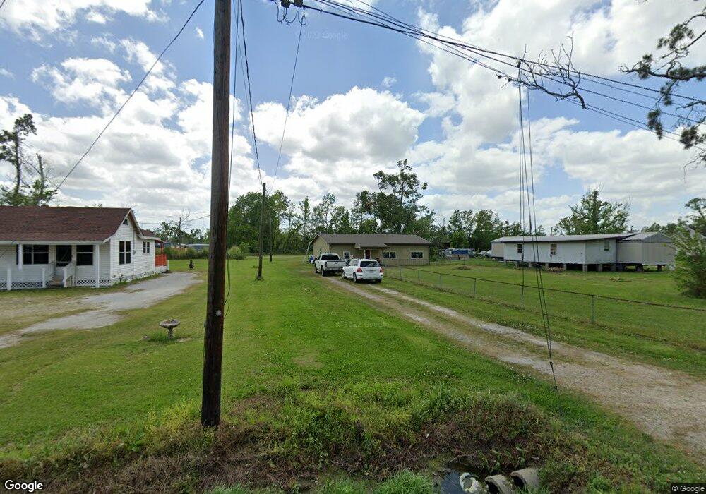
709 Landry Rd Westlake, LA 70669
Estimated Value: $98,046 - $147,000
--
Bed
--
Bath
--
Sq Ft
0.87
Acres
About This Home
This home is located at 709 Landry Rd, Westlake, LA 70669 and is currently estimated at $123,012. 709 Landry Rd is a home located in Calcasieu Parish with nearby schools including Westwood Elementary School, Western Heights Elementary School, and S.P. Arnett Middle School.
Ownership History
Date
Name
Owned For
Owner Type
Purchase Details
Closed on
Jul 6, 2012
Sold by
Prater Connie Ann
Bought by
Sanders Taylor Wallace and Sanders Melissa Kae
Current Estimated Value
Create a Home Valuation Report for This Property
The Home Valuation Report is an in-depth analysis detailing your home's value as well as a comparison with similar homes in the area
Home Values in the Area
Average Home Value in this Area
Purchase History
| Date | Buyer | Sale Price | Title Company |
|---|---|---|---|
| Sanders Taylor Wallace | $27,000 | Mayo Land Title Co Inc |
Source: Public Records
Tax History Compared to Growth
Tax History
| Year | Tax Paid | Tax Assessment Tax Assessment Total Assessment is a certain percentage of the fair market value that is determined by local assessors to be the total taxable value of land and additions on the property. | Land | Improvement |
|---|---|---|---|---|
| 2024 | $712 | $6,490 | $1,080 | $5,410 |
| 2023 | $727 | $6,490 | $1,080 | $5,410 |
| 2022 | $729 | $6,490 | $1,080 | $5,410 |
| 2021 | $0 | $6,490 | $1,080 | $5,410 |
| 2020 | $660 | $5,910 | $1,040 | $4,870 |
| 2019 | $741 | $6,410 | $1,000 | $5,410 |
| 2018 | $717 | $6,410 | $1,000 | $5,410 |
| 2017 | $707 | $6,410 | $1,000 | $5,410 |
| 2016 | $717 | $6,410 | $1,000 | $5,410 |
| 2015 | $717 | $6,410 | $1,000 | $5,410 |
Source: Public Records
Map
Nearby Homes
- 2526 Cox Rd
- 2524 Cox Rd
- 590 Landry Rd
- 2518 Donnelly Rd
- 2525 Davis Rd
- 109 W Wayside Dr
- 600 W Wayside Dr
- 0 W Wayside Dr Unit SWL25001592
- 615 Hudson Dr
- 0 Westwood Rd
- 1512 Fairway Dr
- 618 John Stine Rd
- 1622 Reserve Dr
- 0 Hogans Alley Unit 134209
- 0 Hogans Alley Unit 134232
- 0 Hogans Alley Unit 134230
- 0 Hogans Alley Unit SWL25101642
- 0 Hogans Alley Unit 134212
- 0 Hogans Alley Unit 134210
- 0 Hogans Alley Unit 134229