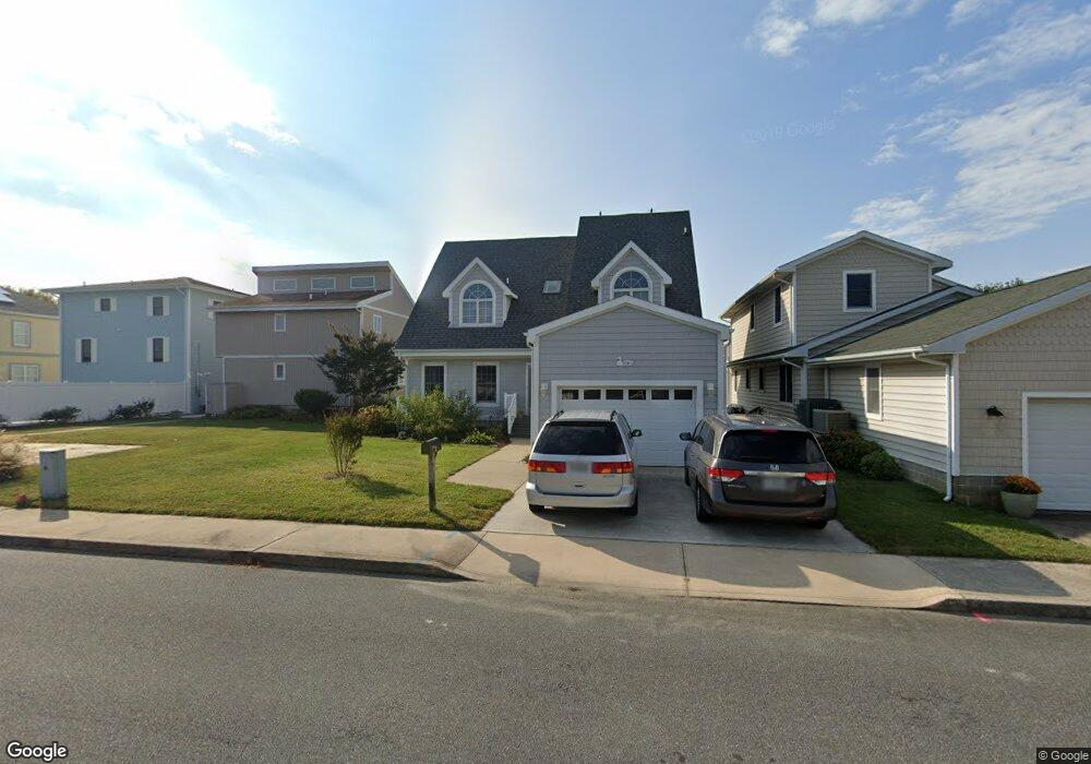
709 Laurel Ave Ocean City, MD 21842
Estimated Value: $801,000 - $1,022,000
Studio
2
Baths
2,176
Sq Ft
$414/Sq Ft
Est. Value
About This Home
This home is located at 709 Laurel Ave, Ocean City, MD 21842 and is currently estimated at $901,065, approximately $414 per square foot. 709 Laurel Ave is a home located in Worcester County with nearby schools including Ocean City Elementary School, Stephen Decatur Middle School, and Berlin Intermediate School.
Ownership History
Date
Name
Owned For
Owner Type
Purchase Details
Closed on
Nov 8, 2023
Sold by
Mastrogiacomo Patti Ann and Gibble Angela Marie
Bought by
Grapel Jaime Angela and Mastrogiacomo Carly Paige
Current Estimated Value
Purchase Details
Closed on
Jul 25, 1989
Sold by
Parsons James F and Parsons Jane V
Bought by
Pantos Angelo and Pantos Mary
Purchase Details
Closed on
Oct 14, 1982
Sold by
Friel John A and Friel Jane M
Bought by
Parsons James F and Parsons Jane
Create a Home Valuation Report for This Property
The Home Valuation Report is an in-depth analysis detailing your home's value as well as a comparison with similar homes in the area
Home Values in the Area
Average Home Value in this Area
Purchase History
| Date | Buyer | Sale Price | Title Company |
|---|---|---|---|
| Grapel Jaime Angela | -- | None Listed On Document | |
| Grapel Jaime Angela | -- | None Listed On Document | |
| Pantos Angelo | $115,000 | -- | |
| Parsons James F | $38,500 | -- |
Source: Public Records
Tax History
| Year | Tax Paid | Tax Assessment Tax Assessment Total Assessment is a certain percentage of the fair market value that is determined by local assessors to be the total taxable value of land and additions on the property. | Land | Improvement |
|---|---|---|---|---|
| 2025 | $8,237 | $603,200 | $0 | $0 |
| 2024 | $6,279 | $550,600 | $0 | $0 |
| 2023 | $6,140 | $498,000 | $296,800 | $201,200 |
| 2022 | $6,017 | $491,167 | $0 | $0 |
| 2021 | $5,929 | $484,333 | $0 | $0 |
| 2020 | $5,812 | $477,500 | $296,800 | $180,700 |
| 2019 | $5,736 | $472,833 | $0 | $0 |
| 2018 | $6,545 | $468,167 | $0 | $0 |
| 2017 | $5,483 | $463,500 | $0 | $0 |
| 2016 | -- | $443,700 | $0 | $0 |
| 2015 | -- | $423,900 | $0 | $0 |
| 2014 | $4,138 | $404,100 | $0 | $0 |
Source: Public Records
Map
Nearby Homes
- 14104 Dukes Ave
- 14125 Sea Captain Rd
- 14109 Dukes Ave
- 717 142nd St
- 14211 Dukes Ave Unit 203
- 13463 Madison Ave
- 13444 Madison Ave
- 13487 Bella Vista Ln Unit 9
- 13022 Wilson Ave
- 13410 Madison Ave
- 14009 N Ocean Rd
- 14201 Tunnel Ave Unit 16C
- 13204 Stone Harbor Ln
- 14300 Jarvis Ave Unit A202
- 14300 Jarvis Ave Unit B
- 13908 N Ocean Rd Unit 10A
- 14400 Jarvis Ave Unit 107B2
- 13506 Yellow Banks Ct
- 405 143rd St Unit 20
- 13801 Barge Rd
Your Personal Tour Guide
Ask me questions while you tour the home.