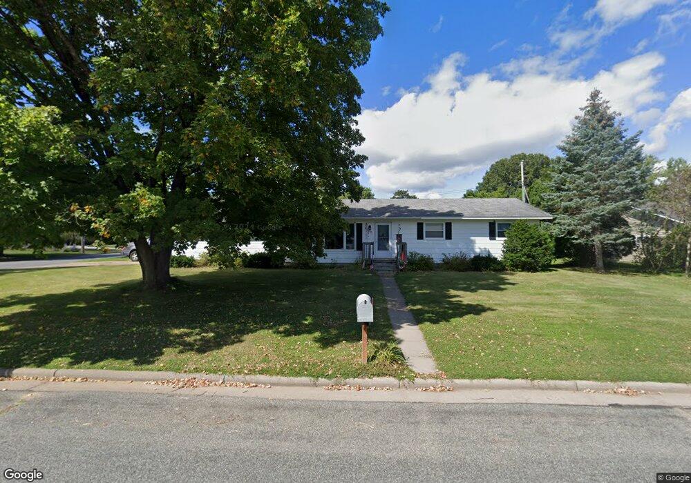
709 Leonard Dr Eau Claire, WI 54703
Estimated Value: $231,000 - $269,000
2
Beds
2
Baths
1,196
Sq Ft
$212/Sq Ft
Est. Value
About This Home
This home is located at 709 Leonard Dr, Eau Claire, WI 54703 and is currently estimated at $253,774, approximately $212 per square foot. 709 Leonard Dr is a home located in Eau Claire County with nearby schools including Lakeshore Elementary School, Delong Middle School, and Memorial High School.
Ownership History
Date
Name
Owned For
Owner Type
Purchase Details
Closed on
Aug 12, 2021
Sold by
Kufner Matthew R and Kufner Magdalyn E
Bought by
Mccarthy Sean M
Current Estimated Value
Home Financials for this Owner
Home Financials are based on the most recent Mortgage that was taken out on this home.
Original Mortgage
$188,491
Outstanding Balance
$171,138
Interest Rate
2.8%
Mortgage Type
New Conventional
Estimated Equity
$82,636
Purchase Details
Closed on
Dec 15, 2005
Sold by
Tanner Gilbert L
Bought by
Kufner Matthew R and Kufner Magdalyn E
Home Financials for this Owner
Home Financials are based on the most recent Mortgage that was taken out on this home.
Original Mortgage
$113,500
Interest Rate
6.34%
Mortgage Type
New Conventional
Create a Home Valuation Report for This Property
The Home Valuation Report is an in-depth analysis detailing your home's value as well as a comparison with similar homes in the area
Home Values in the Area
Average Home Value in this Area
Purchase History
| Date | Buyer | Sale Price | Title Company |
|---|---|---|---|
| Mccarthy Sean M | $195,000 | None Available | |
| Kufner Matthew R | $113,500 | None Available |
Source: Public Records
Mortgage History
| Date | Status | Borrower | Loan Amount |
|---|---|---|---|
| Open | Mccarthy Sean M | $188,491 | |
| Previous Owner | Kufner Matthew R | $113,500 |
Source: Public Records
Tax History Compared to Growth
Tax History
| Year | Tax Paid | Tax Assessment Tax Assessment Total Assessment is a certain percentage of the fair market value that is determined by local assessors to be the total taxable value of land and additions on the property. | Land | Improvement |
|---|---|---|---|---|
| 2024 | $3,455 | $185,900 | $34,700 | $151,200 |
| 2023 | $3,139 | $185,900 | $34,700 | $151,200 |
| 2022 | $3,081 | $185,900 | $34,700 | $151,200 |
| 2021 | $3,010 | $185,900 | $34,700 | $151,200 |
| 2020 | $3,384 | $149,500 | $34,700 | $114,800 |
| 2019 | $3,391 | $149,500 | $34,700 | $114,800 |
| 2018 | $3,403 | $149,500 | $34,700 | $114,800 |
| 2017 | $3,392 | $126,900 | $27,200 | $99,700 |
| 2016 | $3,292 | $126,900 | $27,200 | $99,700 |
| 2014 | -- | $126,900 | $27,200 | $99,700 |
| 2013 | -- | $126,900 | $27,200 | $99,700 |
Source: Public Records
Map
Nearby Homes
- 1817 Sunset Dr
- 1536 11th St
- 1612 11th St
- 2208 W Menomonie St
- 1409 Vine St
- 1704 9th St
- 915 Platt St
- 2218 Fenner St
- 2144 Orchard Place
- 2107 11th St
- 1712 Dorret Rd
- 928 Water St Unit 1-2
- 2139 12th St
- 1806 Dorret Rd
- 1808 Dorret Rd
- 902 Water St Unit 1-3
- 217 Skyline Dr
- 739 Broadway St
- 2105 8th St
- 205 Skyline Dr
- 1017 Florence Ave
- 701 Leonard Dr
- 803 Leonard Dr
- 710 Leonard Dr
- 930 Buffington Dr
- 1016 Buffington Dr
- 1025 Florence Ave
- 1016 Florence Ave
- 718 Leonard Dr
- 1024 Florence Ave
- 813 Leonard Dr
- 701 Buffington Dr
- 806 Leonard Dr
- 1103 Florence Ave
- 717 Buffington Ct
- 1106 Florence Ave
- 819 Leonard Dr
- 1113 Florence Ave
- 715 Buffington Dr
- 829 Leonard Dr