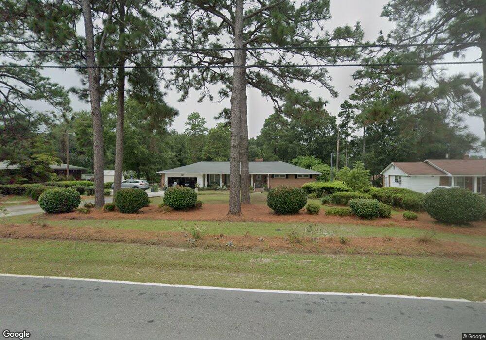
709 Mason Rd Columbia, SC 29203
Belmont NeighborhoodEstimated Value: $155,000 - $173,000
3
Beds
2
Baths
1,617
Sq Ft
$102/Sq Ft
Est. Value
About This Home
This home is located at 709 Mason Rd, Columbia, SC 29203 and is currently estimated at $164,840, approximately $101 per square foot. 709 Mason Rd is a home located in Richland County with nearby schools including J.P. Thomas Elementary School, Alcorn Middle School, and W.J. Keenan High School.
Ownership History
Date
Name
Owned For
Owner Type
Purchase Details
Closed on
Oct 7, 1998
Sold by
Medlin Hezzie Langford and Medlin Jones C
Bought by
Boyd Susan D
Current Estimated Value
Home Financials for this Owner
Home Financials are based on the most recent Mortgage that was taken out on this home.
Original Mortgage
$91,251
Outstanding Balance
$19,806
Interest Rate
6.8%
Mortgage Type
FHA
Estimated Equity
$145,034
Purchase Details
Closed on
Jul 7, 1998
Sold by
Comwall Sophia M and Estate Of Lucile Blackwood Med
Bought by
Medlin Hezzie Langford
Create a Home Valuation Report for This Property
The Home Valuation Report is an in-depth analysis detailing your home's value as well as a comparison with similar homes in the area
Home Values in the Area
Average Home Value in this Area
Purchase History
| Date | Buyer | Sale Price | Title Company |
|---|---|---|---|
| Boyd Susan D | $91,500 | -- | |
| Medlin Hezzie Langford | -- | -- |
Source: Public Records
Mortgage History
| Date | Status | Borrower | Loan Amount |
|---|---|---|---|
| Open | Boyd Susan D | $91,251 |
Source: Public Records
Tax History Compared to Growth
Tax History
| Year | Tax Paid | Tax Assessment Tax Assessment Total Assessment is a certain percentage of the fair market value that is determined by local assessors to be the total taxable value of land and additions on the property. | Land | Improvement |
|---|---|---|---|---|
| 2024 | $961 | $85,200 | $0 | $0 |
| 2023 | $923 | $2,964 | $0 | $0 |
| 2022 | $837 | $74,100 | $9,900 | $64,200 |
| 2021 | $825 | $2,960 | $0 | $0 |
| 2020 | $836 | $2,960 | $0 | $0 |
| 2019 | $806 | $2,960 | $0 | $0 |
| 2018 | $810 | $3,120 | $0 | $0 |
| 2017 | $794 | $3,120 | $0 | $0 |
| 2016 | $791 | $3,120 | $0 | $0 |
| 2015 | $772 | $3,120 | $0 | $0 |
| 2014 | $752 | $78,100 | $0 | $0 |
| 2013 | -- | $3,120 | $0 | $0 |
Source: Public Records
Map
Nearby Homes
- 710 Mason Rd
- 5901 Barksdale Dr
- 0 W S Wakefield Rd
- 0 W S Winnsboro Rd
- 5749 Weston Ave
- 233 Bowling Ave
- 204 Crawford Rd
- 202 Crawford Rd
- 305 Bertha Ave
- 305 Bertha Ave
- 1109 Fiske St
- 1026 Oakland Ave
- 0 Weston Ave
- 5411 Cabot Ave
- 5509 N Main St
- N/S Patton Cir
- 5527 Holmes Ave
- 1707 Dairy St
- 5619 Middleton Ct
- 5318 N Main St