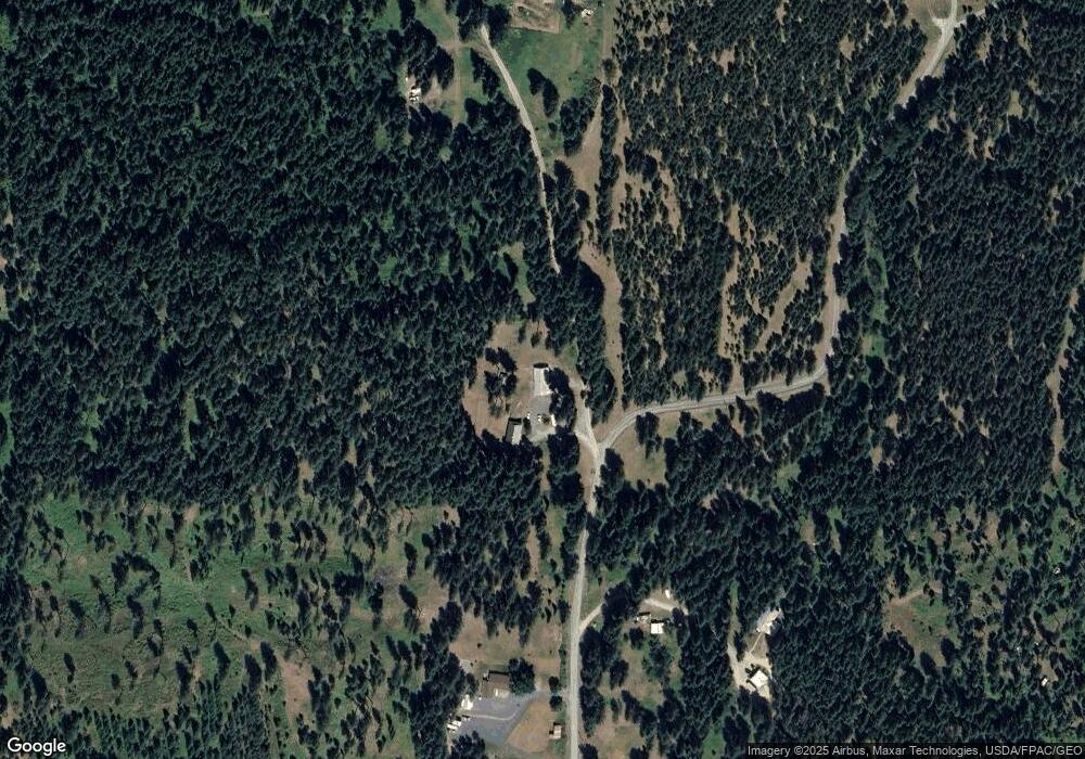
709 Mosby Rd Unit B Colville, WA 99114
Estimated Value: $585,785 - $686,000
4
Beds
4
Baths
4,648
Sq Ft
$138/Sq Ft
Est. Value
About This Home
This home is located at 709 Mosby Rd Unit B, Colville, WA 99114 and is currently estimated at $639,196, approximately $137 per square foot. 709 Mosby Rd Unit B is a home located in Stevens County with nearby schools including Hofstetter Elementary School, Fort Colville Elementary School, and Colville Junior High School.
Ownership History
Date
Name
Owned For
Owner Type
Purchase Details
Closed on
Oct 28, 2022
Sold by
Martin Jeramie L and Martin Candice D
Bought by
Lightfoot Lloyd H
Current Estimated Value
Purchase Details
Closed on
Mar 14, 2013
Sold by
Baumgardner John T and Baumgardner Sandra F
Bought by
Martin Jeramie L and Martin Candice D
Home Financials for this Owner
Home Financials are based on the most recent Mortgage that was taken out on this home.
Original Mortgage
$183,352
Interest Rate
3.5%
Mortgage Type
FHA
Purchase Details
Closed on
Aug 30, 2006
Sold by
Pratt Susan D and Pratt Pamela P
Bought by
Baugardner John T and Baugardner Sandra F
Home Financials for this Owner
Home Financials are based on the most recent Mortgage that was taken out on this home.
Original Mortgage
$35,200
Interest Rate
6.67%
Mortgage Type
Purchase Money Mortgage
Create a Home Valuation Report for This Property
The Home Valuation Report is an in-depth analysis detailing your home's value as well as a comparison with similar homes in the area
Home Values in the Area
Average Home Value in this Area
Purchase History
| Date | Buyer | Sale Price | Title Company |
|---|---|---|---|
| Lightfoot Lloyd H | $500,000 | Stevens County Title | |
| Martin Jeramie L | $170,000 | Stevens County Title Company | |
| Baugardner John T | $352,000 | Columbia Title Co |
Source: Public Records
Mortgage History
| Date | Status | Borrower | Loan Amount |
|---|---|---|---|
| Previous Owner | Martin Jeramie L | $183,352 | |
| Previous Owner | Baugardner John T | $35,200 |
Source: Public Records
Tax History Compared to Growth
Tax History
| Year | Tax Paid | Tax Assessment Tax Assessment Total Assessment is a certain percentage of the fair market value that is determined by local assessors to be the total taxable value of land and additions on the property. | Land | Improvement |
|---|---|---|---|---|
| 2024 | $2,724 | $430,076 | $77,920 | $352,156 |
| 2023 | $2,519 | $399,672 | $48,700 | $350,972 |
| 2022 | $2,174 | $319,507 | $34,090 | $285,417 |
| 2021 | $2,227 | $304,213 | $34,090 | $270,123 |
| 2020 | $2,261 | $304,213 | $34,090 | $270,123 |
| 2019 | $2,307 | $295,315 | $34,090 | $261,225 |
| 2018 | $2,706 | $294,229 | $34,090 | $260,139 |
| 2017 | $2,457 | $293,051 | $34,090 | $258,961 |
| 2016 | $2,548 | $293,051 | $34,090 | $258,961 |
| 2015 | $2,690 | $298,438 | $34,090 | $264,348 |
| 2013 | -- | $307,475 | $34,090 | $273,385 |
Source: Public Records
Map
Nearby Homes
- 755 Conrad Hill Way
- 717 Conrad Hill Way
- 739 Prouty Corner Loop Rd
- 564 Old Dominion Rd
- 395 Old Dominion Rd
- 395A Old Dominion Rd
- xxxx Cedar Creek Rd
- 717 Dry Gulch Rd
- 493 Mumau Rd
- 410 Prouty Corner Loop Rd
- 520 Knapp Rd
- 540 Dolomite Rd
- Xxx Aladdin Rd
- 176 Aladdin Rd
- 2135 Whitetail Way
- 585 White Meadow Way
- 2058 Ringneck Loop
- 2082 Whitetail Way
- 2037 Ringneck Loop
- 709 Mosby Rd
- 709B Mosby Rd
- 709C Mosby Rd
- 699 Mosby Rd
- 704 Mosby Rd
- 709D Mosby Rd
- 694 Mosby Rd
- 665 Mosby Rd
- 652 Mosby Rd
- 710 Charles Graham Rd
- 740 Mosby Rd
- 729 Mosby Rd
- 687 Charles Graham Rd
- 721 Conrad Hill Way
- 721 Conrad Hill Way
- 701 Conrad Hill Way
- 661 Conrad Hill Way
- 687 Conrad Hill Way
- 631 Prouty Corner Loop Rd
- 637 Prouty Corner Loop Rd
