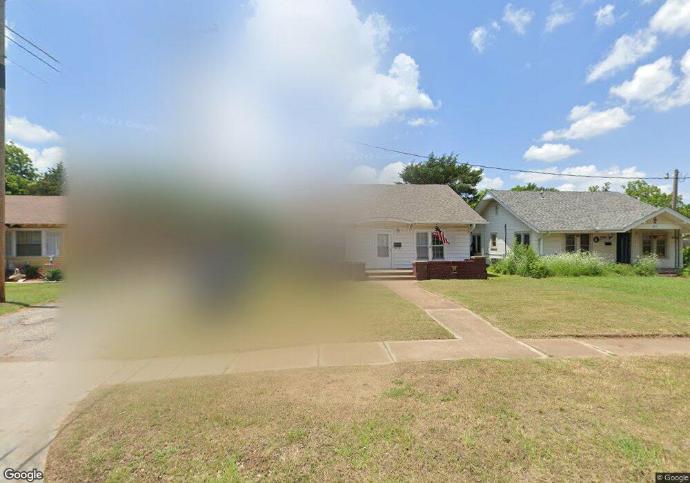
709 N 10th St Duncan, OK 73533
Estimated Value: $81,866 - $97,000
2
Beds
1
Bath
1,120
Sq Ft
$82/Sq Ft
Est. Value
About This Home
This home is located at 709 N 10th St, Duncan, OK 73533 and is currently estimated at $91,717, approximately $81 per square foot. 709 N 10th St is a home located in Stephens County with nearby schools including Emerson Elementary School, Duncan Middle School, and Duncan High School.
Ownership History
Date
Name
Owned For
Owner Type
Purchase Details
Closed on
Apr 19, 2024
Sold by
Roberts Michael D and Roberts Rohonda L
Bought by
Oakman David and Oakman Jana Sue
Current Estimated Value
Purchase Details
Closed on
Oct 18, 2016
Sold by
Wallraven Kay and Owens Richards
Bought by
Roberts Michael D and Roberts Rhonda L
Home Financials for this Owner
Home Financials are based on the most recent Mortgage that was taken out on this home.
Original Mortgage
$40,000
Interest Rate
3.46%
Mortgage Type
Seller Take Back
Purchase Details
Closed on
Oct 30, 1998
Sold by
Helen V Howland Trust
Bought by
Lowry Opal Trust
Create a Home Valuation Report for This Property
The Home Valuation Report is an in-depth analysis detailing your home's value as well as a comparison with similar homes in the area
Home Values in the Area
Average Home Value in this Area
Purchase History
| Date | Buyer | Sale Price | Title Company |
|---|---|---|---|
| Oakman David | $89,000 | Stephens County Abstract | |
| Roberts Michael D | $42,500 | None Available | |
| Lowry Opal Trust | $31,000 | -- |
Source: Public Records
Mortgage History
| Date | Status | Borrower | Loan Amount |
|---|---|---|---|
| Previous Owner | Roberts Michael D | $40,000 |
Source: Public Records
Tax History Compared to Growth
Tax History
| Year | Tax Paid | Tax Assessment Tax Assessment Total Assessment is a certain percentage of the fair market value that is determined by local assessors to be the total taxable value of land and additions on the property. | Land | Improvement |
|---|---|---|---|---|
| 2025 | $452 | $9,811 | $322 | $9,489 |
| 2024 | $452 | $5,309 | $322 | $4,987 |
| 2023 | $452 | $5,489 | $322 | $5,167 |
| 2022 | $438 | $5,410 | $322 | $5,088 |
| 2021 | $438 | $5,152 | $322 | $4,830 |
| 2020 | $404 | $4,673 | $322 | $4,351 |
| 2019 | $385 | $4,451 | $322 | $4,129 |
| 2018 | $423 | $4,752 | $322 | $4,430 |
| 2017 | $408 | $4,752 | $322 | $4,430 |
| 2016 | $319 | $3,750 | $322 | $3,428 |
| 2015 | $363 | $3,750 | $322 | $3,428 |
| 2014 | $363 | $3,971 | $550 | $3,421 |
Source: Public Records
Map
Nearby Homes
- 810 810 N 12th St
- 1112 W Spruce St
- 1213 W Pine Ave
- 1001 1001 W Hackberry
- 1116 1116 W Chestnut
- 1112 1112 N 12th
- 1105 1105 N Grand Ave
- 1105 W Beech Ave
- 705 705 W Hackberry Ave
- 815 N 14th St
- 1114 N 13th St
- 812 N 15th St
- 1202 N Grand Blvd
- 1444 1444 N 8th St
- 805 805 N 5th
- 1112 N 5th St
- 1203 W Walnut Ave
- 1312 Pkwy
- 512 W Oak Ave
- 312 W Beech Ave
- 1355 1355 N 10th
- 711 N 10th St
- 707 N 10th St
- 1004 W Cedar Ave
- 713 N 10th St
- 705 N 10th St
- 1006 W Cedar Ave
- 708 708 N 10th St
- 703 N 10th St
- 708 N 10th St
- 1002 W Cedar Ave
- 706 N 10th St
- 710 N 10th St
- 1010 W Cedar Ave
- 714 N 10th St
- 1007 W Pine Ave
- 701 N 10th St
- 1009 W Pine Ave
- 909 W Pine Ave
- 908 W Cedar Ave