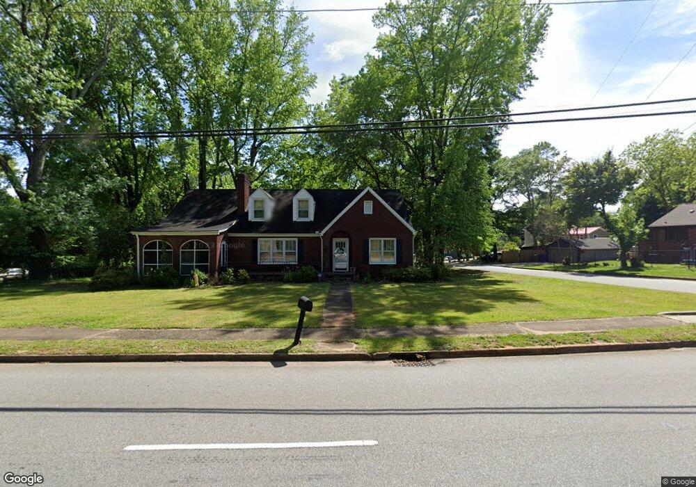
709 N Franklin Rd Greenville, SC 29617
Sans Souci NeighborhoodEstimated Value: $321,486 - $343,000
3
Beds
2
Baths
2,046
Sq Ft
$164/Sq Ft
Est. Value
About This Home
This home is located at 709 N Franklin Rd, Greenville, SC 29617 and is currently estimated at $334,622, approximately $163 per square foot. 709 N Franklin Rd is a home located in Greenville County with nearby schools including Duncan Chapel Elementary, Lakeview Middle, and Berea High School.
Ownership History
Date
Name
Owned For
Owner Type
Purchase Details
Closed on
May 12, 2005
Sold by
Willis Gloria S
Bought by
Davis Tammy E
Current Estimated Value
Home Financials for this Owner
Home Financials are based on the most recent Mortgage that was taken out on this home.
Original Mortgage
$100,000
Outstanding Balance
$52,007
Interest Rate
5.8%
Mortgage Type
New Conventional
Estimated Equity
$282,615
Create a Home Valuation Report for This Property
The Home Valuation Report is an in-depth analysis detailing your home's value as well as a comparison with similar homes in the area
Home Values in the Area
Average Home Value in this Area
Purchase History
| Date | Buyer | Sale Price | Title Company |
|---|---|---|---|
| Davis Tammy E | $130,000 | -- |
Source: Public Records
Mortgage History
| Date | Status | Borrower | Loan Amount |
|---|---|---|---|
| Open | Davis Tammy E | $100,000 |
Source: Public Records
Tax History Compared to Growth
Tax History
| Year | Tax Paid | Tax Assessment Tax Assessment Total Assessment is a certain percentage of the fair market value that is determined by local assessors to be the total taxable value of land and additions on the property. | Land | Improvement |
|---|---|---|---|---|
| 2024 | $1,548 | $5,790 | $1,520 | $4,270 |
| 2023 | $1,548 | $5,790 | $1,520 | $4,270 |
| 2022 | $1,522 | $5,790 | $1,520 | $4,270 |
| 2021 | $1,642 | $5,790 | $1,520 | $4,270 |
| 2020 | $1,541 | $5,040 | $900 | $4,140 |
| 2019 | $1,504 | $5,040 | $900 | $4,140 |
| 2018 | $1,394 | $5,040 | $900 | $4,140 |
| 2017 | $1,394 | $5,040 | $900 | $4,140 |
| 2016 | $1,321 | $125,890 | $22,500 | $103,390 |
| 2015 | $1,321 | $125,890 | $22,500 | $103,390 |
| 2014 | $1,492 | $146,810 | $25,500 | $121,310 |
Source: Public Records
Map
Nearby Homes
- 700 N Franklin Rd
- 12 E Decatur St
- 101 E Blue Ridge Dr
- 825 N Franklin Rd
- 216 Rodney Ave
- 221 Mcmakin Dr
- 105 Rutledge Ave
- 217 Berkley Ave
- 314 Langston Dr
- 14 Circle Dr
- 228 Rogers Ave
- 112 Paris Mountain Ave
- 121 E Decatur St
- 11 Woodland Dr
- 107 Berkley Ave
- 210 Tindal Rd
- 400 Darlington Ave
- 201 Darlington Ave
- 62 Circle Dr
- 405 Perry Rd
- 705 N Franklin Rd
- 801 N Franklin Rd
- 703 N Franklin Rd
- 704 N Franklin Rd
- 2 Rodney Ave
- 805 N Franklin Rd
- 5 Rodney Ave
- 706 N Franklin Rd
- 11 Tindal Rd
- 800 N Franklin Rd
- 4 Rodney Ave
- 9 Rodney Ave
- 102 Rodney Ave
- 806 N Franklin Rd
- 804 N Franklin Rd
- 15 Tindal Rd
- 1 Rogers Ave
- 812 N Franklin Rd
- 10 Tindal Rd
- 1 E Blue Ridge Dr