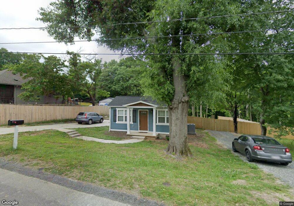
709 N Pear St Gastonia, NC 28054
Estimated Value: $135,000 - $189,000
2
Beds
2
Baths
864
Sq Ft
$197/Sq Ft
Est. Value
About This Home
This home is located at 709 N Pear St, Gastonia, NC 28054 and is currently estimated at $169,988, approximately $196 per square foot. 709 N Pear St is a home located in Gaston County with nearby schools including Brookside Elementary School, Holbrook Middle School, and North Gaston High School.
Ownership History
Date
Name
Owned For
Owner Type
Purchase Details
Closed on
Jan 28, 2008
Sold by
Biggers Gregory T and Biggers Susan H
Bought by
Pineapple Group Llc
Current Estimated Value
Purchase Details
Closed on
Nov 27, 2007
Sold by
Pineapple Group Llc
Bought by
Biggers Gregory T
Purchase Details
Closed on
Jul 26, 2007
Sold by
Bkw Investors Inc
Bought by
Pineapple Group Llc
Create a Home Valuation Report for This Property
The Home Valuation Report is an in-depth analysis detailing your home's value as well as a comparison with similar homes in the area
Home Values in the Area
Average Home Value in this Area
Purchase History
| Date | Buyer | Sale Price | Title Company |
|---|---|---|---|
| Pineapple Group Llc | -- | None Available | |
| Biggers Gregory T | -- | None Available | |
| Pineapple Group Llc | $120,000 | None Available |
Source: Public Records
Tax History Compared to Growth
Tax History
| Year | Tax Paid | Tax Assessment Tax Assessment Total Assessment is a certain percentage of the fair market value that is determined by local assessors to be the total taxable value of land and additions on the property. | Land | Improvement |
|---|---|---|---|---|
| 2025 | $1,565 | $146,380 | $12,490 | $133,890 |
| 2024 | $1,565 | $146,380 | $12,490 | $133,890 |
| 2023 | $1,581 | $146,380 | $12,490 | $133,890 |
| 2022 | $697 | $52,390 | $9,990 | $42,400 |
| 2021 | $707 | $52,390 | $9,990 | $42,400 |
| 2019 | $452 | $33,240 | $9,990 | $23,250 |
| 2018 | $348 | $24,827 | $8,000 | $16,827 |
| 2017 | $358 | $24,827 | $8,000 | $16,827 |
| 2016 | $358 | $25,547 | $0 | $0 |
| 2014 | -- | $37,694 | $10,000 | $27,694 |
Source: Public Records
Map
Nearby Homes
- 601 N Apple St
- 1810 Stowe Ave
- 1904 Hemlock Ave
- 1432 Miguel Dr
- 1508 E Cole St
- 1889 Oak Hollow Rd
- 719 Ida St
- 1909 E Ozark Ave
- 829 Raindrops Rd
- 807 Lewis St
- 1874 Ballard Dr
- 1627 Warren Ave
- 925 Cassidy Dr
- 819 Circle View
- 1029 Sundance Dr
- 00 Moss Ct
- 930 E Mauney Ave
- 1608 Warren Cir
- 1884 Hilltop Cir
- 901 Waterspout Way
- 711 N Pear St
- 707 Pear St
- 705N Pear St
- 1622 Hemlock Ave
- 1233 Bridgewood Ln
- 703 N Pear St
- 701 N Pear St
- 710 N Pear St
- 1232 Bridgewood Ln
- 708 N Pear St
- 00 Hemlock Ave
- 000 Hemlock Ave Unit 56.5
- 00 Hemlock Ave Unit 56.5
- 0 Hemlock Ave Unit 179-183
- 706 N Pear St
- 1225 Bridgewood Ln
- 1619 Hemlock Ave
- 609 N Pear St
- 1621 Hemlock Ave
- 704 N Pear St