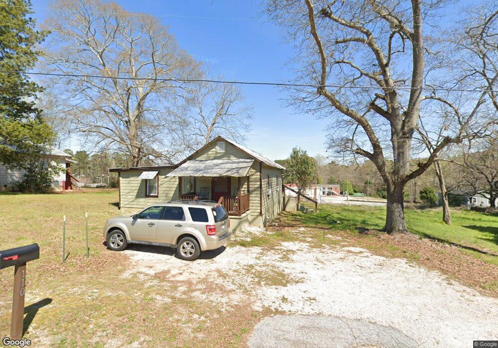
709 New Franklin Rd Lagrange, GA 30240
Estimated Value: $1,746,912
--
Bed
1
Bath
15,120
Sq Ft
$116/Sq Ft
Est. Value
About This Home
This home is located at 709 New Franklin Rd, Lagrange, GA 30240 and is currently priced at $1,746,912, approximately $115 per square foot. 709 New Franklin Rd is a home located in Troup County with nearby schools including Franklin Forest Elementary School, Hollis Hand Elementary School, and Ethel W. Kight Elementary School.
Ownership History
Date
Name
Owned For
Owner Type
Purchase Details
Closed on
Sep 16, 2022
Sold by
Georgia Automotive Realty Llc
Bought by
Redfish Development Llc
Current Estimated Value
Purchase Details
Closed on
Feb 7, 2005
Sold by
Lukken Chevrolet Inc
Bought by
Georgia Automotive Realty Llc
Purchase Details
Closed on
Jan 1, 1965
Bought by
Lukken Chevrolet Inc
Create a Home Valuation Report for This Property
The Home Valuation Report is an in-depth analysis detailing your home's value as well as a comparison with similar homes in the area
Home Values in the Area
Average Home Value in this Area
Purchase History
| Date | Buyer | Sale Price | Title Company |
|---|---|---|---|
| Redfish Development Llc | $1,625,000 | -- | |
| Georgia Automotive Realty Llc | $780,000 | -- | |
| Lukken Chevrolet Inc | -- | -- |
Source: Public Records
Tax History Compared to Growth
Tax History
| Year | Tax Paid | Tax Assessment Tax Assessment Total Assessment is a certain percentage of the fair market value that is determined by local assessors to be the total taxable value of land and additions on the property. | Land | Improvement |
|---|---|---|---|---|
| 2024 | $15,980 | $585,920 | $143,200 | $442,720 |
| 2023 | $14,935 | $555,960 | $143,200 | $412,760 |
| 2022 | $11,588 | $415,200 | $143,200 | $272,000 |
| 2021 | $7,129 | $236,360 | $107,400 | $128,960 |
| 2020 | $7,129 | $236,360 | $107,400 | $128,960 |
| 2019 | $7,578 | $251,273 | $143,200 | $108,073 |
| 2018 | $7,564 | $250,797 | $142,724 | $108,073 |
| 2017 | $7,564 | $250,797 | $142,724 | $108,073 |
| 2016 | $7,714 | $255,784 | $142,724 | $113,060 |
| 2015 | $7,727 | $255,784 | $142,724 | $113,060 |
| 2014 | $7,740 | $255,784 | $142,724 | $113,060 |
| 2013 | -- | $255,784 | $142,724 | $113,060 |
Source: Public Records
Map
Nearby Homes
- 110 Russell St
- 204 Colonial St
- 900 North St
- 806 New Franklin Rd
- 114 Briarcliff Rd
- 109 Dogwood Dr
- 109 Thomas St
- 219 Banks St
- 145 Turner St
- 106 Ewing St
- 102 Ewing St
- 724 Camellia Dr
- 134 S Page St
- 400 S Page St
- 106 S Chilton Crescent
- 0 Ridley Ave Unit 10550104
- 609 Ridley Ave
- 707 Ridley Ave
- 611 Ridley Ave
- 615 Ridley Ave
- 110 Strickland St
- 112 Strickland St
- 108 Strickland St
- 107 North St
- 114 Strickland St
- 710 New Franklin Rd
- 112 North St
- 111 Strickland St
- 113 Strickland St
- 109 Strickland St
- 107 Strickland St
- 114 North St
- 3472 Highway 29 N
- 116 North St
- 108 Colonial St
- 113 North St
- 118 North St
- 0 North St Unit 8481855
- 0 North St Unit 8481856
- 0 North St Unit 8356457