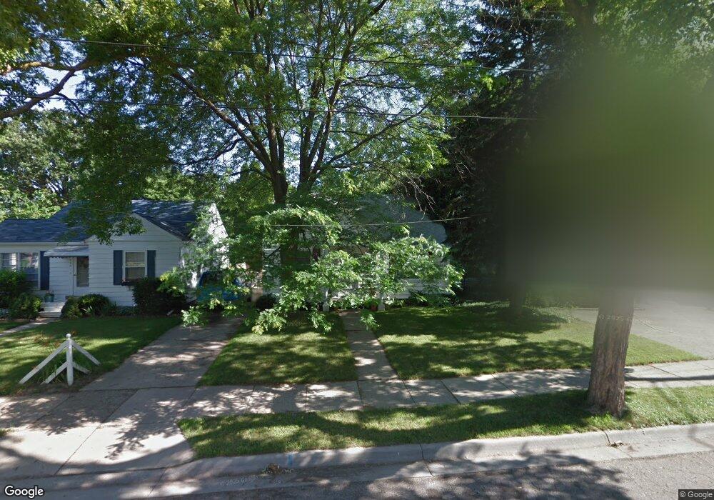
709 Pacific Ave Lansing, MI 48910
Clifford Park NeighborhoodEstimated Value: $115,000 - $152,000
3
Beds
1
Bath
869
Sq Ft
$154/Sq Ft
Est. Value
About This Home
This home is located at 709 Pacific Ave, Lansing, MI 48910 and is currently estimated at $133,688, approximately $153 per square foot. 709 Pacific Ave is a home located in Ingham County with nearby schools including Lyons Elementary School, Attwood School, and Eastern High School.
Ownership History
Date
Name
Owned For
Owner Type
Purchase Details
Closed on
Nov 2, 2015
Sold by
Rensing Damon and Rensing Daune
Bought by
Mcclumpha Clifford H
Current Estimated Value
Home Financials for this Owner
Home Financials are based on the most recent Mortgage that was taken out on this home.
Original Mortgage
$64,410
Outstanding Balance
$26,499
Interest Rate
3.87%
Mortgage Type
New Conventional
Estimated Equity
$107,189
Purchase Details
Closed on
May 17, 2001
Sold by
Smith Dean W
Bought by
Rensing Damon
Home Financials for this Owner
Home Financials are based on the most recent Mortgage that was taken out on this home.
Original Mortgage
$85,350
Interest Rate
7.07%
Mortgage Type
FHA
Purchase Details
Closed on
Jun 20, 2000
Sold by
Smith Imelda V and Smith Wayne H
Bought by
Imelda Veronica Smith Revocable Living T
Create a Home Valuation Report for This Property
The Home Valuation Report is an in-depth analysis detailing your home's value as well as a comparison with similar homes in the area
Home Values in the Area
Average Home Value in this Area
Purchase History
| Date | Buyer | Sale Price | Title Company |
|---|---|---|---|
| Mcclumpha Clifford H | $67,800 | None Available | |
| Rensing Damon | $86,700 | -- | |
| Imelda Veronica Smith Revocable Living T | -- | -- |
Source: Public Records
Mortgage History
| Date | Status | Borrower | Loan Amount |
|---|---|---|---|
| Open | Mcclumpha Clifford H | $64,410 | |
| Previous Owner | Rensing Damon | $85,350 |
Source: Public Records
Tax History
| Year | Tax Paid | Tax Assessment Tax Assessment Total Assessment is a certain percentage of the fair market value that is determined by local assessors to be the total taxable value of land and additions on the property. | Land | Improvement |
|---|---|---|---|---|
| 2025 | $2,491 | $57,100 | $6,700 | $50,400 |
| 2024 | $20 | $51,200 | $6,700 | $44,500 |
| 2023 | $2,336 | $46,600 | $6,700 | $39,900 |
| 2022 | $2,108 | $41,800 | $6,700 | $35,100 |
| 2021 | $2,064 | $38,100 | $4,500 | $33,600 |
| 2020 | $2,051 | $36,600 | $4,500 | $32,100 |
| 2019 | $1,979 | $31,800 | $4,500 | $27,300 |
| 2018 | $1,921 | $32,100 | $4,500 | $27,600 |
| 2017 | $1,839 | $32,100 | $4,500 | $27,600 |
| 2016 | $2,231 | $31,500 | $4,500 | $27,000 |
| 2015 | $2,231 | $30,100 | $9,012 | $21,088 |
| 2014 | $2,231 | $29,700 | $6,640 | $23,060 |
Source: Public Records
Map
Nearby Homes
- 704 Mckim Ave
- 915 Tisdale Ave
- 2340 S Pennsylvania Ave
- 2201 S Pennsylvania Ave
- 2215 Alpha St
- 525 E Mount Hope Ave
- 1818 Ray St
- 1718 Donora St
- 616 Isbell St
- 2302 Maplewood Ave
- 534 Isbell St
- 315 E Mount Hope Ave
- 1731 Herbert St
- 1917 Teel Ave
- 1535 Linval St
- 2305 Forest Ave
- 1807 Teel Ave
- 1515 Linval St
- 531 Torrence Ct
- 2418 Forest Ave
Your Personal Tour Guide
Ask me questions while you tour the home.