Estimated Value: $521,000 - $796,471
3
Beds
2
Baths
1,512
Sq Ft
$410/Sq Ft
Est. Value
About This Home
This home is located at 709 Parker Rd Unit 1-2, Wylie, TX 75098 and is currently estimated at $620,618, approximately $410 per square foot. 709 Parker Rd Unit 1-2 is a home located in Collin County with nearby schools including T.F. Birmingham Elementary School, Frank Mcmillan Junior High School, and Davis Intermediate School.
Ownership History
Date
Name
Owned For
Owner Type
Purchase Details
Closed on
May 5, 2017
Sold by
Brown John A
Bought by
Pelican Bay Developmkent Inc
Current Estimated Value
Home Financials for this Owner
Home Financials are based on the most recent Mortgage that was taken out on this home.
Original Mortgage
$460,000
Outstanding Balance
$383,903
Interest Rate
4.23%
Estimated Equity
$236,715
Purchase Details
Closed on
Jun 5, 1996
Sold by
Rochester Regina A and Beem Regina A
Bought by
Brown Thomas Wayne
Home Financials for this Owner
Home Financials are based on the most recent Mortgage that was taken out on this home.
Original Mortgage
$99,750
Interest Rate
7.92%
Create a Home Valuation Report for This Property
The Home Valuation Report is an in-depth analysis detailing your home's value as well as a comparison with similar homes in the area
Home Values in the Area
Average Home Value in this Area
Purchase History
| Date | Buyer | Sale Price | Title Company |
|---|---|---|---|
| Pelican Bay Developmkent Inc | -- | None Available | |
| Brown Thomas Wayne | -- | -- |
Source: Public Records
Mortgage History
| Date | Status | Borrower | Loan Amount |
|---|---|---|---|
| Open | Pelican Bay Developmkent Inc | $460,000 | |
| Previous Owner | Brown Thomas Wayne | $99,750 |
Source: Public Records
Tax History Compared to Growth
Tax History
| Year | Tax Paid | Tax Assessment Tax Assessment Total Assessment is a certain percentage of the fair market value that is determined by local assessors to be the total taxable value of land and additions on the property. | Land | Improvement |
|---|---|---|---|---|
| 2025 | $9,765 | $593,280 | $587,400 | $190,466 |
| 2024 | $9,765 | $494,400 | $587,400 | $137,633 |
| 2023 | $9,765 | $412,000 | $293,700 | $118,300 |
| 2022 | $9,268 | $422,449 | $293,700 | $128,749 |
| 2021 | $8,163 | $346,920 | $220,275 | $126,645 |
| 2020 | $8,094 | $325,965 | $220,275 | $105,690 |
| 2019 | $8,697 | $330,949 | $220,275 | $110,674 |
| 2018 | $9,022 | $335,023 | $220,275 | $114,748 |
| 2017 | $8,099 | $300,734 | $221,400 | $79,334 |
| 2016 | $7,053 | $253,832 | $172,200 | $81,632 |
| 2015 | $6,789 | $245,352 | $172,200 | $73,152 |
Source: Public Records
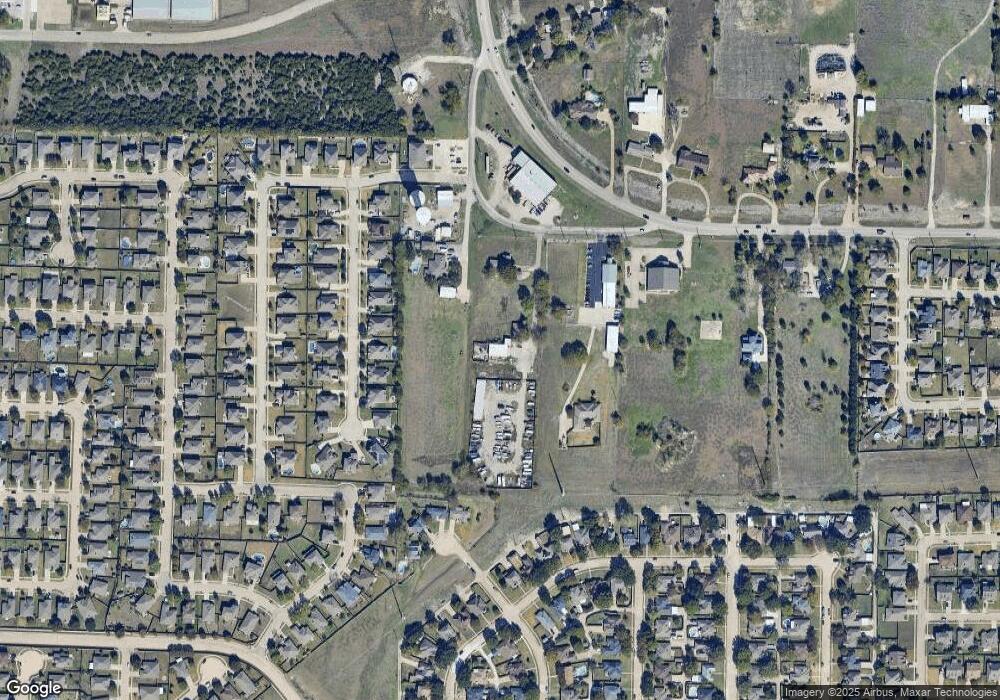
Map
Nearby Homes
- 605 Graham Ct
- 502 E Gaston Dr
- 517 E Gaston Dr
- 1312 Meziere Sky Dr
- 550 Parker Rd
- 705 Baldwin Rd
- 713 Kinston Ct
- 423 N Winding Oaks Dr
- 410 N Winding Oaks Dr
- 500 Parker Rd
- 1403 Lakeview Dr
- 410 Oxford Dr
- 626 Gunters Mountain Ln
- 415 Carver Dr
- 121 Fairmount Dr
- 902 Greene Way
- 907 Carlton Rd
- 2049 Quail Run Rd
- 908 Greene Way
- 7375 Moses Dr
- 709 Parker Rd
- 711 Parker Rd
- 707 Parker Rd
- 718 Lone Star Ct
- 716 Lone Star Ct
- 720 Lone Star Ct
- 712 Lone Star Ct
- 722 Lone Star Ct
- 710 Lone Star Ct
- 708 Lone Star Ct
- 602 Longhorn Dr
- 72 Parker Rd
- 717 Lone Star Ct
- 715 Lone Star Ct
- 719 Lone Star Ct
- 713 Lone Star Ct
- 706 Lone Star Ct
- 604 Longhorn Dr
- 721 Lone Star Ct
- 709 Lone Star Ct