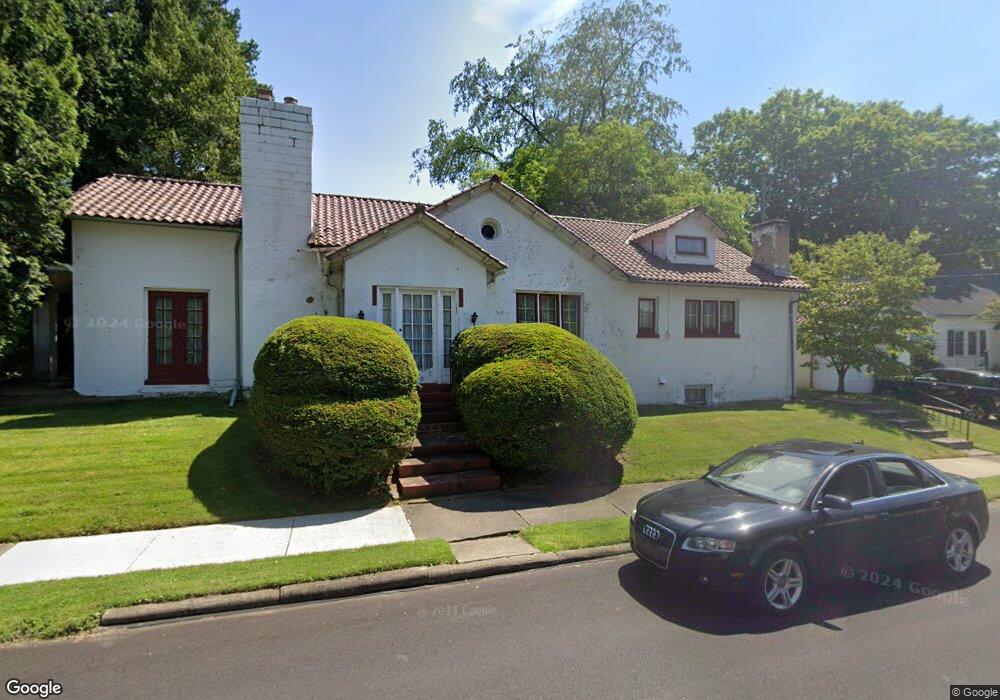
709 Phillips Rd NE Massillon, OH 44646
Sippo Heights NeighborhoodEstimated Value: $160,587 - $201,000
3
Beds
2
Baths
2,151
Sq Ft
$83/Sq Ft
Est. Value
About This Home
This home is located at 709 Phillips Rd NE, Massillon, OH 44646 and is currently estimated at $178,897, approximately $83 per square foot. 709 Phillips Rd NE is a home located in Stark County with nearby schools including Massillon Intermediate School, Massillon Junior High School, and Washington High School.
Ownership History
Date
Name
Owned For
Owner Type
Purchase Details
Closed on
Aug 6, 1999
Sold by
Fisher Robert E and Fisher Ruth Ann
Bought by
Curlutu Ladene M and Curlutu Benjamin M
Current Estimated Value
Home Financials for this Owner
Home Financials are based on the most recent Mortgage that was taken out on this home.
Original Mortgage
$111,150
Interest Rate
7.68%
Mortgage Type
Purchase Money Mortgage
Create a Home Valuation Report for This Property
The Home Valuation Report is an in-depth analysis detailing your home's value as well as a comparison with similar homes in the area
Home Values in the Area
Average Home Value in this Area
Purchase History
| Date | Buyer | Sale Price | Title Company |
|---|---|---|---|
| Curlutu Ladene M | $117,000 | Cta |
Source: Public Records
Mortgage History
| Date | Status | Borrower | Loan Amount |
|---|---|---|---|
| Closed | Curlutu Ladene M | $111,150 |
Source: Public Records
Tax History Compared to Growth
Tax History
| Year | Tax Paid | Tax Assessment Tax Assessment Total Assessment is a certain percentage of the fair market value that is determined by local assessors to be the total taxable value of land and additions on the property. | Land | Improvement |
|---|---|---|---|---|
| 2025 | -- | $50,860 | $9,730 | $41,130 |
| 2024 | $7,101 | $50,860 | $9,730 | $41,130 |
| 2023 | $6,922 | $41,130 | $8,330 | $32,800 |
| 2022 | $2,164 | $41,130 | $8,330 | $32,800 |
| 2021 | $2,199 | $41,130 | $8,330 | $32,800 |
| 2020 | $1,919 | $33,780 | $6,830 | $26,950 |
| 2019 | $1,893 | $33,780 | $6,830 | $26,950 |
| 2018 | $1,882 | $33,780 | $6,830 | $26,950 |
| 2017 | $1,873 | $31,400 | $6,200 | $25,200 |
| 2016 | $1,888 | $31,120 | $5,920 | $25,200 |
| 2015 | $1,865 | $31,120 | $5,920 | $25,200 |
| 2014 | $1,886 | $30,420 | $5,780 | $24,640 |
| 2013 | $948 | $30,420 | $5,780 | $24,640 |
Source: Public Records
Map
Nearby Homes
- 740 Phillips Rd NE
- 719 17th St NE
- 727 Franklin Rd NE
- 712 Harmon Place NE
- 1720 Lincoln Way E
- 1224 North Ave NE
- 1706 Jefferson Rd NE
- 1837 Lindbergh Ave NE
- 860 Franklin Rd NE
- 1112 State Ave NE
- 860 Milburn Rd NE
- 932 Wales Rd NE
- 1012 Federal Ave NE
- 888 Seneca St NE
- 157 19th St SE
- 834 9th St NE
- 827 9th St NE
- 832 Wellman Ave SE
- 637 Wallace Ave SE
- 2020 Massachusetts Ave SE
- 705 16th St NE
- 435 16th St NE
- 709 16th St NE
- 719 Phillips Rd NE
- 723 Phillips Rd NE
- 429 16th St NE
- 721 16th St NE
- 446 16th St NE
- 452 16th St NE
- 436 16th St NE
- 710 16th St NE
- 432 16th St NE
- 421 16th St NE
- 720 16th St NE
- 420 16th St NE
- 733 Phillips Rd NE
- 1512 Marlyn Pkwy NE
- 744 Phillips Rd NE
- 453 17th St NE
- 737 Phillips Rd NE