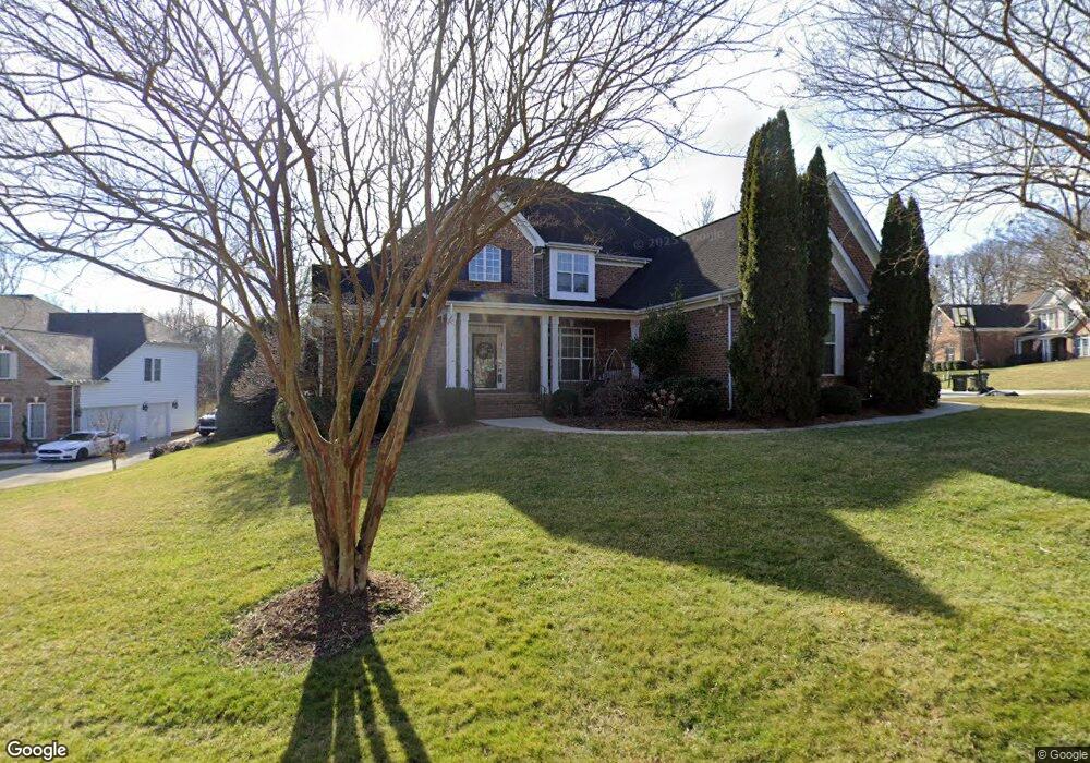
709 Reverdy Ct Fort Mill, SC 29708
Gold Hill NeighborhoodEstimated Value: $690,000 - $777,000
4
Beds
3
Baths
3,038
Sq Ft
$241/Sq Ft
Est. Value
About This Home
This home is located at 709 Reverdy Ct, Fort Mill, SC 29708 and is currently estimated at $733,302, approximately $241 per square foot. 709 Reverdy Ct is a home located in York County with nearby schools including Springfield Elementary School, Springfield Middle School, and Nation Ford High School.
Ownership History
Date
Name
Owned For
Owner Type
Purchase Details
Closed on
Apr 2, 2010
Sold by
Nesbit Gary and Nesbit Hanna
Bought by
Duncan Walter and Duncan Rebecca
Current Estimated Value
Home Financials for this Owner
Home Financials are based on the most recent Mortgage that was taken out on this home.
Original Mortgage
$276,000
Interest Rate
4.77%
Mortgage Type
New Conventional
Purchase Details
Closed on
Jun 13, 2006
Sold by
Kmw Development Group Llc
Bought by
Nesbit Gary and Nesbit Hanna
Home Financials for this Owner
Home Financials are based on the most recent Mortgage that was taken out on this home.
Original Mortgage
$297,550
Interest Rate
6.57%
Mortgage Type
New Conventional
Purchase Details
Closed on
Jun 25, 2004
Sold by
The Howey Co Inc
Bought by
Kmw Development Group Llc
Create a Home Valuation Report for This Property
The Home Valuation Report is an in-depth analysis detailing your home's value as well as a comparison with similar homes in the area
Home Values in the Area
Average Home Value in this Area
Purchase History
| Date | Buyer | Sale Price | Title Company |
|---|---|---|---|
| Duncan Walter | $345,000 | -- | |
| Nesbit Gary | $372,000 | None Available | |
| Kmw Development Group Llc | $47,900 | -- |
Source: Public Records
Mortgage History
| Date | Status | Borrower | Loan Amount |
|---|---|---|---|
| Previous Owner | Duncan Walter | $276,000 | |
| Previous Owner | Nesbit Gary | $297,550 |
Source: Public Records
Tax History Compared to Growth
Tax History
| Year | Tax Paid | Tax Assessment Tax Assessment Total Assessment is a certain percentage of the fair market value that is determined by local assessors to be the total taxable value of land and additions on the property. | Land | Improvement |
|---|---|---|---|---|
| 2024 | $2,817 | $15,962 | $2,829 | $13,133 |
| 2023 | $2,731 | $15,962 | $2,829 | $13,133 |
| 2022 | $2,707 | $15,962 | $2,829 | $13,133 |
| 2021 | -- | $15,962 | $2,829 | $13,133 |
| 2020 | $2,907 | $15,962 | $0 | $0 |
| 2019 | $2,902 | $13,880 | $0 | $0 |
| 2018 | $3,065 | $13,880 | $0 | $0 |
| 2017 | $2,893 | $13,880 | $0 | $0 |
| 2016 | $2,855 | $13,880 | $0 | $0 |
| 2014 | $1,845 | $13,880 | $2,400 | $11,480 |
| 2013 | $1,845 | $12,940 | $2,400 | $10,540 |
Source: Public Records
Map
Nearby Homes
- 421 Cranborne Chase
- 765 Portpatrick Place
- 788 Portpatrick Place
- 01 Lurecliff Place
- 4 Lurecliff Place
- 1281 Lurecliff Place
- 520 Beacon Knoll Ln
- 343 Gringley Hill Rd
- 3400 Pleasant Rd
- 450 Serendipity Dr
- 1326 Clifflure Ln
- 1407 Calum Way
- 142 Canterbury Crossing
- 319 Gold Hill Rd
- 1005 Archibald Ave
- 903 Furman Ct
- 504 Saint George Rd
- 705 Congressional Ln
- 3559 Nestling Ln
- 736 Knightswood Rd