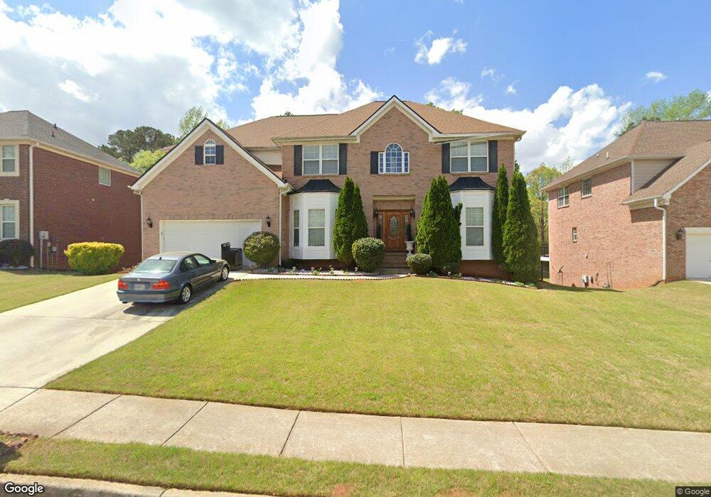
709 Rock Ln Unit 2 McDonough, GA 30253
Estimated Value: $412,000 - $470,000
5
Beds
4
Baths
3,386
Sq Ft
$130/Sq Ft
Est. Value
About This Home
This home is located at 709 Rock Ln Unit 2, McDonough, GA 30253 and is currently estimated at $438,513, approximately $129 per square foot. 709 Rock Ln Unit 2 is a home located in Henry County with nearby schools including Union Grove Middle School, Union Grove High School, and Hickory Flat Elementary School.
Ownership History
Date
Name
Owned For
Owner Type
Purchase Details
Closed on
Jul 27, 2005
Sold by
Oxford Hms Inc
Bought by
Barnett Shawn
Current Estimated Value
Home Financials for this Owner
Home Financials are based on the most recent Mortgage that was taken out on this home.
Original Mortgage
$263,250
Outstanding Balance
$137,153
Interest Rate
5.63%
Mortgage Type
New Conventional
Estimated Equity
$301,360
Create a Home Valuation Report for This Property
The Home Valuation Report is an in-depth analysis detailing your home's value as well as a comparison with similar homes in the area
Home Values in the Area
Average Home Value in this Area
Purchase History
| Date | Buyer | Sale Price | Title Company |
|---|---|---|---|
| Barnett Shawn | $277,200 | -- |
Source: Public Records
Mortgage History
| Date | Status | Borrower | Loan Amount |
|---|---|---|---|
| Open | Barnett Shawn | $263,250 |
Source: Public Records
Tax History Compared to Growth
Tax History
| Year | Tax Paid | Tax Assessment Tax Assessment Total Assessment is a certain percentage of the fair market value that is determined by local assessors to be the total taxable value of land and additions on the property. | Land | Improvement |
|---|---|---|---|---|
| 2025 | $7,375 | $182,368 | $18,000 | $164,368 |
| 2024 | $7,375 | $177,840 | $18,000 | $159,840 |
| 2023 | $7,111 | $170,800 | $16,000 | $154,800 |
| 2022 | $5,740 | $143,640 | $12,000 | $131,640 |
| 2021 | $4,477 | $110,480 | $12,000 | $98,480 |
| 2020 | $4,610 | $113,960 | $10,000 | $103,960 |
| 2019 | $4,298 | $107,400 | $10,000 | $97,400 |
| 2018 | $4,098 | $102,160 | $10,000 | $92,160 |
| 2016 | $3,172 | $85,080 | $10,000 | $75,080 |
| 2015 | $3,055 | $80,000 | $8,000 | $72,000 |
| 2014 | $2,809 | $73,080 | $7,200 | $65,880 |
Source: Public Records
Map
Nearby Homes
- 248 Brannans Walk
- 796 Rock Ln
- 209 Brannans Walk
- 153 Rockport Dr
- 152 Rockport Dr
- 401 Crosshaven Way
- 248 Cranapple Ln
- 146 Himalaya Way
- 236 Himalaya Way
- 479 Crosshaven Way
- 214 Kensington Trace
- 200 Kensington Trace
- 228 Kensington Trace
- 1008 Carlyle Place
- 129 Talon Place
- 1150 Strath Clyde Way
- 1125 Strath Clyde Way
- 601 Sawgrass Walk
- 72 Contour Dr
- 104 Riverside Close
- 713 Rock Ln Unit 2
- 705 Rock Ln Unit 2
- 717 Rock Ln
- 701 Rock Ln Unit 2
- 704 Rock Ln Unit 2
- 708 Rock Ln
- 700 Rock Ln
- 712 Rock Ln Unit 2
- 721 Rock Ln
- 1668 Brannan Rd
- 716 Rock Ln
- 725 Rock Ln Unit 2
- 1690 Brannan Rd
- 720 Rock Ln
- 876 Rock Ln
- 905 Arbor Way
- 872 Rock Ln
- 724 Rock Ln Unit 2
- 868 Rock Ln
- 909 Arbor Way