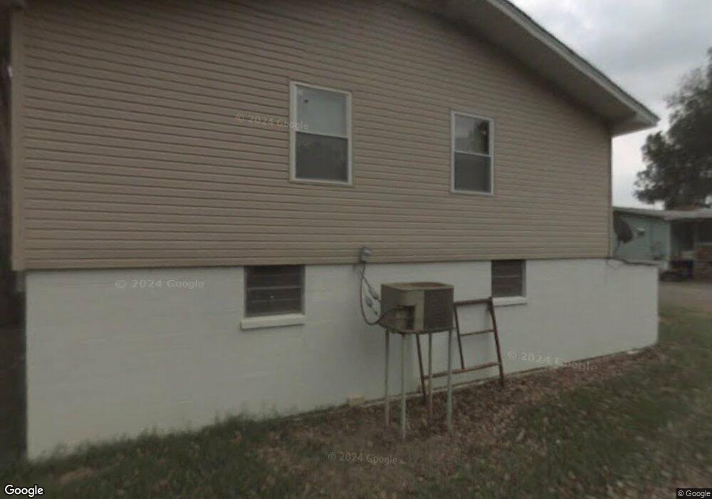
709 Snead Loop de Valls Bluff, AR 72041
Estimated Value: $153,523 - $326,000
3
Beds
1
Bath
1,364
Sq Ft
$151/Sq Ft
Est. Value
About This Home
This home is located at 709 Snead Loop, de Valls Bluff, AR 72041 and is currently estimated at $206,381, approximately $151 per square foot. 709 Snead Loop is a home located in Prairie County with nearby schools including Hazen Elementary School and Hazen High School.
Ownership History
Date
Name
Owned For
Owner Type
Purchase Details
Closed on
Jul 29, 2022
Bought by
Blagg Shannon
Current Estimated Value
Purchase Details
Closed on
Apr 4, 2011
Sold by
Hightower Raymond J
Bought by
Adams Paul and Adams Courtney
Purchase Details
Closed on
Aug 31, 2001
Bought by
Moore Peggy
Purchase Details
Closed on
Aug 1, 1985
Bought by
Moore Peggy and Moore Bray A
Create a Home Valuation Report for This Property
The Home Valuation Report is an in-depth analysis detailing your home's value as well as a comparison with similar homes in the area
Purchase History
| Date | Buyer | Sale Price | Title Company |
|---|---|---|---|
| Blagg Shannon | $170,000 | -- | |
| Adams Paul | -- | -- | |
| Moore Peggy | -- | -- | |
| Moore Peggy | -- | -- |
Source: Public Records
Tax History
| Year | Tax Paid | Tax Assessment Tax Assessment Total Assessment is a certain percentage of the fair market value that is determined by local assessors to be the total taxable value of land and additions on the property. | Land | Improvement |
|---|---|---|---|---|
| 2025 | $351 | $29,760 | $7,890 | $21,870 |
| 2024 | $273 | $17,640 | $7,770 | $9,870 |
| 2023 | $348 | $17,640 | $7,770 | $9,870 |
| 2022 | $135 | $13,280 | $3,410 | $9,870 |
| 2021 | $112 | $13,280 | $3,410 | $9,870 |
| 2020 | $90 | $13,280 | $3,410 | $9,870 |
| 2019 | $68 | $10,110 | $2,570 | $7,540 |
| 2018 | $93 | $10,110 | $2,570 | $7,540 |
| 2017 | $93 | $10,110 | $2,570 | $7,540 |
| 2015 | -- | $10,110 | $2,570 | $7,540 |
| 2014 | -- | $8,560 | $2,080 | $6,480 |
| 2013 | -- | $8,560 | $2,080 | $6,480 |
Source: Public Records
Map
Nearby Homes
- 278 W Prairie St
- 203 W Cedar St
- 302 W Cedar St
- 3044 Highway 33 S
- 1413 U S 70
- 645 Drye Rd
- 873 Arkansas 86
- 501 S Woodlawn Ave
- 608 E Adams St
- 2802 Saddle Creek Rd
- 402 W Hoyle St
- 505 W Cleveland St
- 01 70 Hwy
- 00 Highway 70
- 9434 Hwy 33n
- 9434 33 N Hwy
- 209 Washington St
- 420 Martin St
- 2263 Propeller Rd
- NW 1/4 SE 1/4 S 3 T2n R 6w
- 709 N Snead Loop
- 934 Snead Loop
- 18 Texas St
- 747 N Anthony St
- 1073 Texas St
- 1063 Texas St
- 1058 Texas St
- 880 N Anthony St
- 721 N Whitfield St
- 953 E Cypress
- 983 Whitfield St
- 1652 E Cypress St
- 655 N Wheat St
- 546 N Wheat St
- 7604 Randles Dr
- 350 Main St
- 7324 Riverview Rd
- 0 Main & Martin Unit 17036015
- 0 Main & Connie St Unit 1709351
- 0 Main & Willie Ray Dr Unit 17002924
Your Personal Tour Guide
Ask me questions while you tour the home.