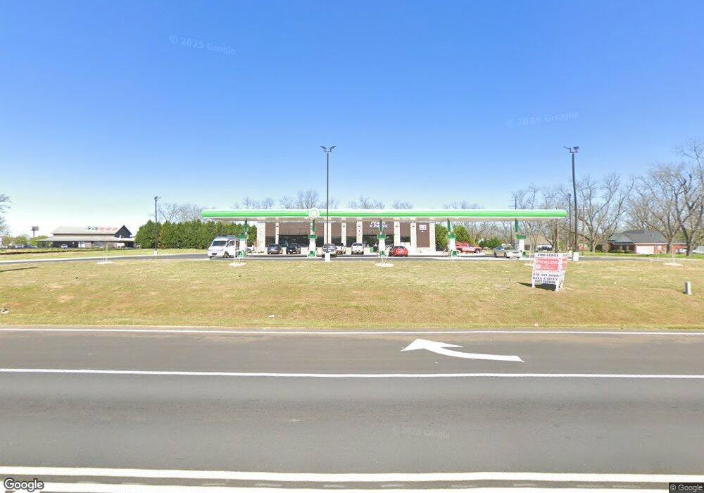
709 State Route 49 Rd Fort Valley, GA 31030
Estimated Value: $168,000 - $369,000
--
Bed
1
Bath
1,673
Sq Ft
$150/Sq Ft
Est. Value
About This Home
This home is located at 709 State Route 49 Rd, Fort Valley, GA 31030 and is currently estimated at $251,333, approximately $150 per square foot. 709 State Route 49 Rd is a home with nearby schools including Macon County Elementary School, Macon County Middle School, and Macon County High School.
Ownership History
Date
Name
Owned For
Owner Type
Purchase Details
Closed on
Jan 26, 2009
Sold by
Hughes Donald F
Bought by
Jaros Sallie H
Current Estimated Value
Purchase Details
Closed on
Jan 8, 2009
Sold by
Jaros Family Partnership Lp
Bought by
Hughes Donald F
Purchase Details
Closed on
Jan 4, 2002
Sold by
Hughes Donald F
Bought by
Jaros Frank and Jaros Doris P
Purchase Details
Closed on
Apr 27, 1981
Sold by
Hughes Donald F and Hughes F
Bought by
Hughes Donald F
Purchase Details
Closed on
Sep 2, 1980
Sold by
Mcpherson Hollis C
Bought by
Hughes Donald F and Hughes F
Purchase Details
Closed on
Nov 1, 1979
Bought by
Mcpherson Hollis C
Create a Home Valuation Report for This Property
The Home Valuation Report is an in-depth analysis detailing your home's value as well as a comparison with similar homes in the area
Home Values in the Area
Average Home Value in this Area
Purchase History
| Date | Buyer | Sale Price | Title Company |
|---|---|---|---|
| Jaros Sallie H | -- | -- | |
| Hughes Donald F | $150,000 | -- | |
| Jaros Frank | $150,000 | -- | |
| Hughes Donald F | -- | -- | |
| Hughes Donald F | $15,000 | -- | |
| Mcpherson Hollis C | -- | -- |
Source: Public Records
Tax History Compared to Growth
Tax History
| Year | Tax Paid | Tax Assessment Tax Assessment Total Assessment is a certain percentage of the fair market value that is determined by local assessors to be the total taxable value of land and additions on the property. | Land | Improvement |
|---|---|---|---|---|
| 2024 | $1,048 | $37,308 | $9,296 | $28,012 |
| 2023 | $1,096 | $39,039 | $9,296 | $29,743 |
| 2022 | $892 | $31,759 | $9,296 | $22,463 |
| 2021 | $1,008 | $34,767 | $11,620 | $23,147 |
| 2020 | $1,008 | $34,767 | $11,620 | $23,147 |
| 2019 | $1,008 | $34,767 | $11,620 | $23,147 |
| 2018 | $1,011 | $34,767 | $11,620 | $23,147 |
| 2017 | $1,019 | $34,767 | $11,620 | $23,147 |
| 2016 | $1,019 | $34,767 | $11,620 | $23,147 |
| 2015 | -- | $35,942 | $11,620 | $24,323 |
| 2014 | -- | $35,943 | $11,620 | $24,323 |
| 2013 | -- | $36,322 | $12,000 | $24,322 |
Source: Public Records
Map
Nearby Homes
- 34 Rosewood Dr
- 191 Daniel Dr
- 57 Kemp St
- 000 Willow Lake Rd
- 2591 Willow Lake Rd
- 177 S Jones St
- 47 King St
- 404 Benjamin St
- 1105 River Rd
- 108 Benjamin St
- 735 River Rd
- 202 Charlevoix St
- 843 Sunset Dr
- 302 Fagan Cir
- 207 Carver Dr
- 1011 Pine St
- 712 Courtland Ave
- 307 Christopher Cir
- 705 Princess Ave
- 708 Princess Ave
- 4365 Ga Highway 49
- 0 Rosewood Dr Unit 7353454
- 0 Rosewood Dr
- 87 Rosewood Dr
- 125 Rosewood Dr
- 3522 State University Dr
- 3388 State University Dr
- 3316 State University Dr
- 474 Doles Rd
- 3282 State University Dr
- 3389 State University Dr
- 3216 State University Dr
- 3267 State University Dr
- 488 Doles Rd
- 3174 State University Dr
- 3223 State University Dr
- 3175 State University Dr
- 3151 State University Dr
- 709 Doles Rd
- 77 Tyler Ct
