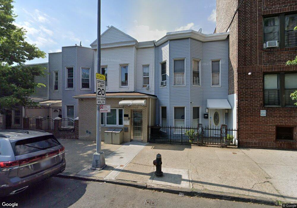
709 van Nest Ave Unit 2 Bronx, NY 10462
Van Nest NeighborhoodEstimated Value: $670,644 - $829,000
2
Beds
1
Bath
900
Sq Ft
$839/Sq Ft
Est. Value
About This Home
This home is located at 709 van Nest Ave Unit 2, Bronx, NY 10462 and is currently estimated at $754,911, approximately $838 per square foot. 709 van Nest Ave Unit 2 is a home located in Bronx County with nearby schools including P.S. 083 The Donald Hertz School, Children's Aid College Preparatory Charter School, and Bold Charter School.
Ownership History
Date
Name
Owned For
Owner Type
Purchase Details
Closed on
Oct 28, 2020
Sold by
Ramsammy Rohan S
Bought by
Ghosh Amitav and Ghosh Rima R
Current Estimated Value
Home Financials for this Owner
Home Financials are based on the most recent Mortgage that was taken out on this home.
Original Mortgage
$584,100
Outstanding Balance
$519,766
Interest Rate
2.8%
Mortgage Type
New Conventional
Estimated Equity
$235,145
Create a Home Valuation Report for This Property
The Home Valuation Report is an in-depth analysis detailing your home's value as well as a comparison with similar homes in the area
Home Values in the Area
Average Home Value in this Area
Purchase History
| Date | Buyer | Sale Price | Title Company |
|---|---|---|---|
| Ghosh Amitav | $649,000 | -- |
Source: Public Records
Mortgage History
| Date | Status | Borrower | Loan Amount |
|---|---|---|---|
| Open | Ghosh Amitav | $584,100 |
Source: Public Records
Tax History Compared to Growth
Tax History
| Year | Tax Paid | Tax Assessment Tax Assessment Total Assessment is a certain percentage of the fair market value that is determined by local assessors to be the total taxable value of land and additions on the property. | Land | Improvement |
|---|---|---|---|---|
| 2025 | $5,165 | $27,260 | $5,412 | $21,848 |
| 2024 | $5,165 | $25,718 | $4,629 | $21,089 |
| 2023 | $4,928 | $24,264 | $4,986 | $19,278 |
| 2022 | $4,570 | $38,400 | $8,100 | $30,300 |
| 2021 | $4,817 | $32,460 | $8,100 | $24,360 |
| 2020 | $4,513 | $34,260 | $8,100 | $26,160 |
| 2019 | $4,190 | $29,340 | $8,100 | $21,240 |
| 2018 | $3,824 | $20,220 | $7,520 | $12,700 |
| 2017 | $3,589 | $19,076 | $6,074 | $13,002 |
| 2016 | $3,504 | $19,076 | $6,904 | $12,172 |
| 2015 | $1,951 | $18,931 | $8,579 | $10,352 |
| 2014 | $1,951 | $17,860 | $7,546 | $10,314 |
Source: Public Records
Map
Nearby Homes
- 1667 Hunt Ave
- 1721 White Plains Rd
- 1731 White Plains Rd
- 679 van Nest Ave
- 677 van Nest Ave
- 633 Mead St
- 1865 Hunt Ave
- 1827 Amethyst St
- 1858 Wallace Ave
- 845 Kinsella St
- 848 Morris Park Ave
- 591 van Nest Ave
- 856 van Nest Ave
- 1936 E Tremont Ave Unit 5H
- 867 van Nest Ave
- 868 Morris Park Ave
- 681 Rhinelander Ave
- 1914 Holland Ave
- 1907 Barnes Ave
- 874 van Nest Ave
- 709 van Nest Ave
- 707 van Nest Ave
- 711 van Nest Ave
- 705 van Nest Ave
- 703 van Nest Ave
- 715 van Nest Ave
- 1710 White Plains Rd
- 719 van Nest Ave
- 1712 White Plains Rd
- 1711 Hunt Ave
- 721 van Nest Ave
- 1713 Hunt Ave
- 1714 White Plains Rd
- 1715 Hunt Ave
- 1716 White Plains Rd
- 1719 Hunt Ave
- 1721 Hunt Ave
- 716 van Nest Ave
- 1701 White Plains Rd
- 1701 White Plains Rd Unit 1