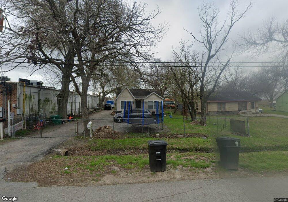
709 W Rittenhouse Rd Houston, TX 77091
Acres Homes NeighborhoodEstimated Value: $177,751 - $262,000
5
Beds
2
Baths
1,886
Sq Ft
$108/Sq Ft
Est. Value
About This Home
This home is located at 709 W Rittenhouse Rd, Houston, TX 77091 and is currently estimated at $204,188, approximately $108 per square foot. 709 W Rittenhouse Rd is a home located in Harris County with nearby schools including Wesley Elementary School, Williams Middle, and Booker T Washington Sr High.
Ownership History
Date
Name
Owned For
Owner Type
Purchase Details
Closed on
Jul 13, 2023
Sold by
Khan Amjad
Bought by
Marie Enterprises Inc
Current Estimated Value
Purchase Details
Closed on
Apr 30, 2015
Sold by
Avila Aaron I and Avila Kimberly A
Bought by
Ferman Sirena I and Galindo Sandra
Purchase Details
Closed on
Apr 13, 2013
Sold by
Avila Aaron and Avila Rosa M
Bought by
Avila Aaroni I and Avila Kimberly A
Purchase Details
Closed on
Nov 26, 2010
Sold by
Peterson Shari and Lariat Security Trust
Bought by
Avila Aaron and Avila Rosa M
Create a Home Valuation Report for This Property
The Home Valuation Report is an in-depth analysis detailing your home's value as well as a comparison with similar homes in the area
Home Values in the Area
Average Home Value in this Area
Purchase History
| Date | Buyer | Sale Price | Title Company |
|---|---|---|---|
| Marie Enterprises Inc | -- | None Listed On Document | |
| Ferman Sirena I | -- | Declaration Title | |
| Avila Aaroni I | -- | None Available | |
| Avila Aaron | $40,000 | None Available |
Source: Public Records
Tax History Compared to Growth
Tax History
| Year | Tax Paid | Tax Assessment Tax Assessment Total Assessment is a certain percentage of the fair market value that is determined by local assessors to be the total taxable value of land and additions on the property. | Land | Improvement |
|---|---|---|---|---|
| 2025 | $3,594 | $171,788 | $106,170 | $65,618 |
| 2024 | $3,594 | $171,788 | $106,170 | $65,618 |
| 2023 | $3,461 | $171,788 | $106,170 | $65,618 |
| 2022 | $3,071 | $139,476 | $82,864 | $56,612 |
| 2021 | $2,856 | $122,542 | $51,790 | $70,752 |
| 2020 | $2,351 | $97,078 | $26,931 | $70,147 |
| 2019 | $2,058 | $81,315 | $10,358 | $70,957 |
| 2018 | $1,787 | $70,616 | $10,358 | $60,258 |
| 2017 | $1,786 | $70,616 | $10,358 | $60,258 |
| 2016 | $1,786 | $70,616 | $10,358 | $60,258 |
| 2015 | $1,713 | $66,644 | $8,779 | $57,865 |
| 2014 | $1,713 | $66,644 | $8,779 | $57,865 |
Source: Public Records
Map
Nearby Homes
- 715 W Rittenhouse Rd
- 824 W Rittenhouse St
- 859 W Rittenhouse St
- 747 W Rittenhouse Rd
- 740 Millville Dr
- 748 Millville Dr
- 775 Rittenhouse St
- 7014 De Priest St
- 5736 Stuebner Airline Rd
- 6315 N Shepherd Dr
- 741 Granville Dr
- 6220 De Priest St
- 862 Granville Dr
- 814 Granville Dr
- 0 Lovers Ln Unit 36585920
- 855 W Little York Rd
- 609 W Parker Rd
- 834 Green Meadow Ln
- 0 De Priest St Unit 66567963
- 833 Rosie St
- 709 W Rittenhouse St
- 719 W Rittenhouse Rd
- 716 Granville Dr
- 723 W Rittenhouse Rd
- 716 W Rittenhouse Rd
- 7115 N Shepherd Dr
- 708 W Rittenhouse St
- 724 W Rittenhouse Rd
- 711 Granville Dr
- 728 W Rittenhouse Rd
- 713 Granville Dr
- 728 W Rittenhouse St
- 715 Granville Dr
- 7124 N Shepherd Dr
- 717 Granville Dr
- 7127 N Shepherd Dr
- 7106-7124 N Shepherd Dr
- 705 Millville Dr
- 711 Millville Dr
- 727 Millville Dr