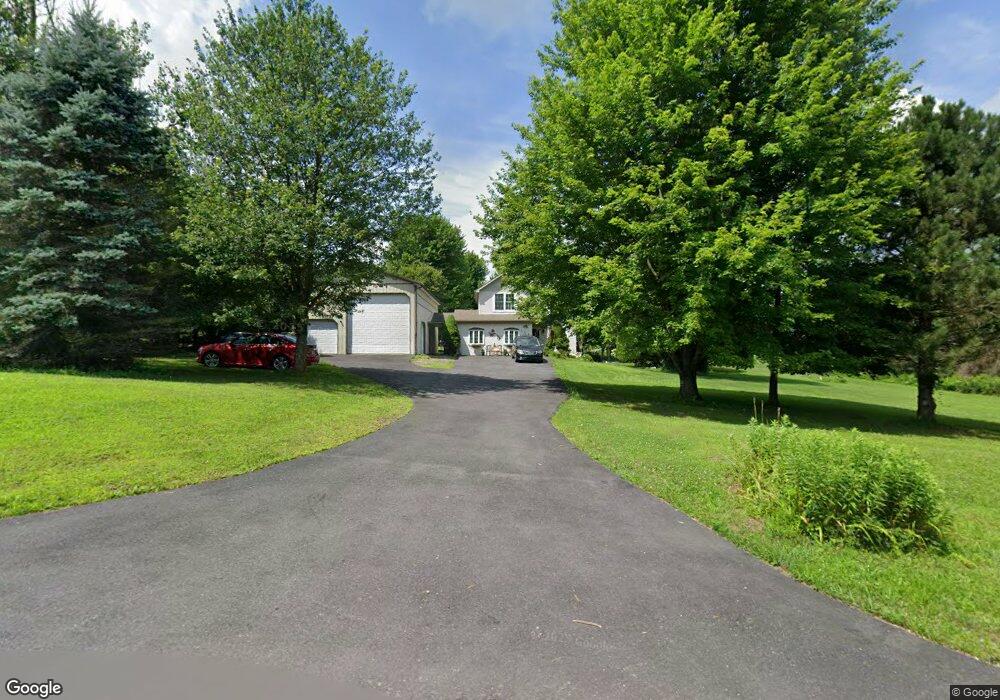
709 Wallace Way Weatherly, PA 18255
Estimated Value: $261,000 - $313,247
3
Beds
3
Baths
1,428
Sq Ft
$196/Sq Ft
Est. Value
About This Home
This home is located at 709 Wallace Way, Weatherly, PA 18255 and is currently estimated at $279,562, approximately $195 per square foot. 709 Wallace Way is a home located in Carbon County with nearby schools including Weatherly Elementary/ Middle School and Weatherly Area Senior High School.
Ownership History
Date
Name
Owned For
Owner Type
Purchase Details
Closed on
Jun 16, 2006
Sold by
Stefansky Thomas S
Bought by
Stefansky Thomas S and Stefansky Sandra
Current Estimated Value
Home Financials for this Owner
Home Financials are based on the most recent Mortgage that was taken out on this home.
Original Mortgage
$155,800
Interest Rate
9.96%
Mortgage Type
Adjustable Rate Mortgage/ARM
Create a Home Valuation Report for This Property
The Home Valuation Report is an in-depth analysis detailing your home's value as well as a comparison with similar homes in the area
Home Values in the Area
Average Home Value in this Area
Purchase History
| Date | Buyer | Sale Price | Title Company |
|---|---|---|---|
| Stefansky Thomas S | -- | None Available |
Source: Public Records
Mortgage History
| Date | Status | Borrower | Loan Amount |
|---|---|---|---|
| Closed | Stefansky Thomas S | $155,800 |
Source: Public Records
Tax History Compared to Growth
Tax History
| Year | Tax Paid | Tax Assessment Tax Assessment Total Assessment is a certain percentage of the fair market value that is determined by local assessors to be the total taxable value of land and additions on the property. | Land | Improvement |
|---|---|---|---|---|
| 2025 | $5,033 | $72,850 | $13,750 | $59,100 |
| 2024 | $4,731 | $72,850 | $13,750 | $59,100 |
| 2023 | $4,567 | $72,850 | $13,750 | $59,100 |
| 2022 | $4,567 | $72,850 | $13,750 | $59,100 |
| 2021 | $3,865 | $62,650 | $13,750 | $48,900 |
| 2020 | $3,865 | $62,650 | $13,750 | $48,900 |
| 2019 | $3,648 | $62,650 | $13,750 | $48,900 |
| 2018 | $3,559 | $62,650 | $13,750 | $48,900 |
| 2017 | $3,465 | $62,650 | $13,750 | $48,900 |
| 2016 | -- | $62,650 | $13,750 | $48,900 |
| 2015 | -- | $62,650 | $13,750 | $48,900 |
| 2014 | -- | $62,650 | $13,750 | $48,900 |
Source: Public Records
Map
Nearby Homes
- 0 Grist Mill Dr
- 0 Grist Mill Drive Lot Unit WP001
- 419 Sand Spring Rd
- 97 Broad St
- 751 Hudson Dr
- 1586 Spring Mountain Rd
- 44 Berwick St
- 135 Dean St
- 5444 Quakake Rd
- 2001 E Broad St
- 415 Lake Dr
- 205 Yard St
- 237 Stock St
- 374 Packer Dr
- 0 11th Ave Unit PM-131093
- Lot C1.13 Packer Dr
- 0 Packer Dr
- 23 W Market St
- 1 Circle Dr
- 0 Johns Ave
- 663 Wallace Way
- 741 Wallace Way
- 740 Wallace Way
- 710 Wallace Way
- 651 Wallace Way
- 670 Wallace Way
- 633 Wallace Way
- 747 Wallace Way
- 615 Wallace Way
- 552 Wallace Way
- 555 Wallace Way
- 1486 Grist Mill Dr
- 516 Wallace Way
- 537 Wallace Way
- 1410 Grist Mill Dr
- 1554 Grist Mill Dr
- WP001 Grist Mill Dr
- 494 Wallace Way
- 481 Wallace Way
- 1437 Grist Mill Dr