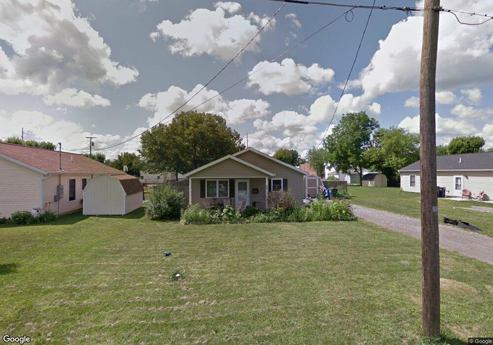
709 Wayne St Delphos, OH 45833
Estimated Value: $119,000 - $146,000
3
Beds
2
Baths
1,040
Sq Ft
$124/Sq Ft
Est. Value
About This Home
This home is located at 709 Wayne St, Delphos, OH 45833 and is currently estimated at $129,459, approximately $124 per square foot. 709 Wayne St is a home located in Van Wert County with nearby schools including Delphos St. John's High School and Delphos St. John's Elementary School.
Ownership History
Date
Name
Owned For
Owner Type
Purchase Details
Closed on
Aug 31, 2009
Sold by
Habitat For Humanity Lima Area Inc
Bought by
Lanteigne Carla J
Current Estimated Value
Home Financials for this Owner
Home Financials are based on the most recent Mortgage that was taken out on this home.
Original Mortgage
$61,788
Outstanding Balance
$39,455
Interest Rate
5.21%
Mortgage Type
Seller Take Back
Estimated Equity
$90,004
Create a Home Valuation Report for This Property
The Home Valuation Report is an in-depth analysis detailing your home's value as well as a comparison with similar homes in the area
Home Values in the Area
Average Home Value in this Area
Purchase History
| Date | Buyer | Sale Price | Title Company |
|---|---|---|---|
| Lanteigne Carla J | $90,000 | Kilco Title |
Source: Public Records
Mortgage History
| Date | Status | Borrower | Loan Amount |
|---|---|---|---|
| Open | Lanteigne Carla J | $61,788 |
Source: Public Records
Tax History
| Year | Tax Paid | Tax Assessment Tax Assessment Total Assessment is a certain percentage of the fair market value that is determined by local assessors to be the total taxable value of land and additions on the property. | Land | Improvement |
|---|---|---|---|---|
| 2025 | $983 | $34,770 | $4,130 | $30,640 |
| 2024 | $983 | $34,770 | $4,130 | $30,640 |
| 2023 | $981 | $34,770 | $4,130 | $30,640 |
| 2022 | $874 | $28,220 | $2,820 | $25,400 |
| 2021 | $876 | $28,220 | $2,820 | $25,400 |
| 2020 | $902 | $28,220 | $2,820 | $25,400 |
| 2019 | $711 | $24,790 | $2,820 | $21,970 |
| 2018 | $717 | $24,790 | $2,820 | $21,970 |
| 2017 | $703 | $24,790 | $2,820 | $21,970 |
| 2016 | $681 | $23,980 | $2,820 | $21,160 |
| 2015 | $681 | $23,980 | $2,820 | $21,160 |
| 2014 | $715 | $23,980 | $2,820 | $21,160 |
| 2013 | $762 | $23,980 | $2,820 | $21,160 |
Source: Public Records
Map
Nearby Homes
- 827 S Washington St
- 424 S Canal St
- 483 S Franklin St
- 221 S Main St
- 709 W 4th St
- 537 / 539 Toomey
- 201 E 5th St
- 629 N Main St
- 610 N Washington St
- 702 N Main St
- 628 N Pierce St
- 821 E 3rd St
- 1000 Colettas Way
- 6800 N Defiance Trail
- 8448 Elida Rd
- 112 W Railroad St
- 608 N Adams St
- 19195 State Rd
- 0 N Conant Rd
- 3755 Grubb Rd N
Your Personal Tour Guide
Ask me questions while you tour the home.