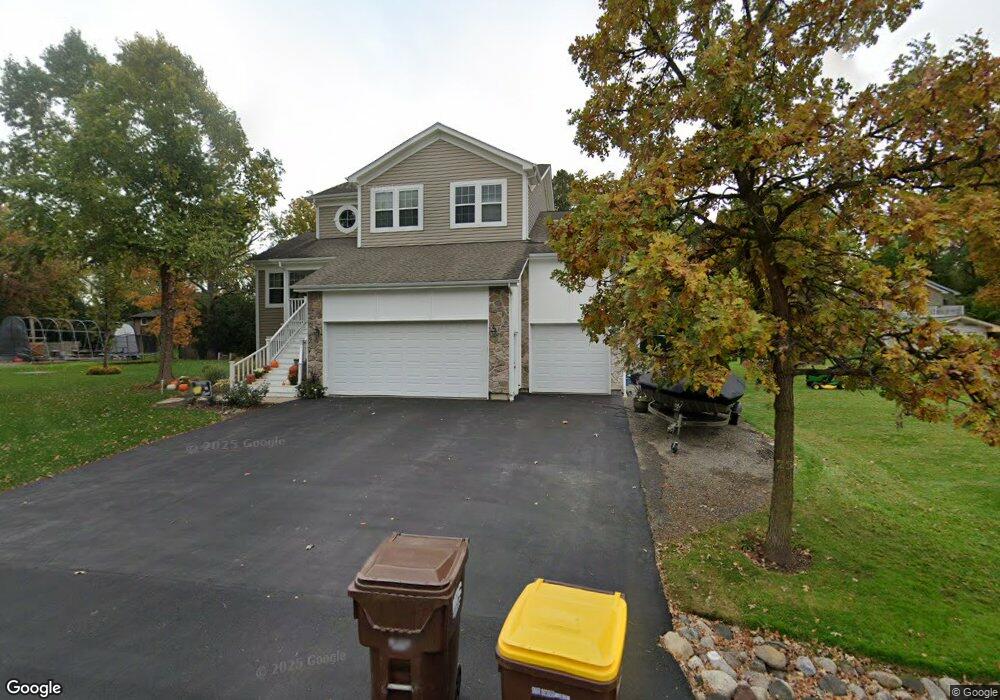
709 Wright Ave McHenry, IL 60051
West Island Lake NeighborhoodEstimated Value: $377,000 - $468,000
3
Beds
3
Baths
2,058
Sq Ft
$199/Sq Ft
Est. Value
About This Home
This home is located at 709 Wright Ave, McHenry, IL 60051 and is currently estimated at $409,793, approximately $199 per square foot. 709 Wright Ave is a home located in McHenry County with nearby schools including Cotton Creek School, Matthews Middle School, and Wauconda High School.
Ownership History
Date
Name
Owned For
Owner Type
Purchase Details
Closed on
Jan 25, 2012
Sold by
Porten Randall L and Porten Raymond W
Bought by
Porten Randall L
Current Estimated Value
Purchase Details
Closed on
Jan 4, 2002
Sold by
Porten Enterprises Inc
Bought by
Porten Randall L
Create a Home Valuation Report for This Property
The Home Valuation Report is an in-depth analysis detailing your home's value as well as a comparison with similar homes in the area
Home Values in the Area
Average Home Value in this Area
Purchase History
| Date | Buyer | Sale Price | Title Company |
|---|---|---|---|
| Porten Randall L | -- | None Available | |
| Porten Randall L | $28,680 | Chicago Title Insurance Co |
Source: Public Records
Tax History
| Year | Tax Paid | Tax Assessment Tax Assessment Total Assessment is a certain percentage of the fair market value that is determined by local assessors to be the total taxable value of land and additions on the property. | Land | Improvement |
|---|---|---|---|---|
| 2024 | $7,575 | $112,267 | $22,658 | $89,609 |
| 2023 | $7,273 | $100,679 | $20,319 | $80,360 |
| 2022 | $7,971 | $92,071 | $18,582 | $73,489 |
| 2021 | $7,722 | $86,322 | $17,422 | $68,900 |
| 2020 | $7,313 | $83,735 | $16,900 | $66,835 |
| 2019 | $7,217 | $79,611 | $16,068 | $63,543 |
Source: Public Records
Map
Nearby Homes
- 806 Peter St
- 6 Lots Porten Rd
- 4505 Giant Oak Dr
- Lot 0 S Pine St
- 4400 Riverside Dr
- 1302 Autumn Ridge Ct
- 4024 Newport Dr
- 29652 W Roberts Rd
- 5220 Palm St
- 4126 Wildwood Dr
- 3727 Hale Ln Unit 9
- 120 W State Rd
- Lot 9 -10 Louise St
- 27692 N Oak St
- 1041 Wimbledon Dr
- 1102 Noble Pkwy
- NEC Route 176 & Westridge Dr
- 1909 Louise St
- 216 S Shore Dr Unit S
- 727 Nantucket Way Unit 1
Your Personal Tour Guide
Ask me questions while you tour the home.