Estimated Value: $444,000 - $504,818
4
Beds
3
Baths
3,234
Sq Ft
$147/Sq Ft
Est. Value
About This Home
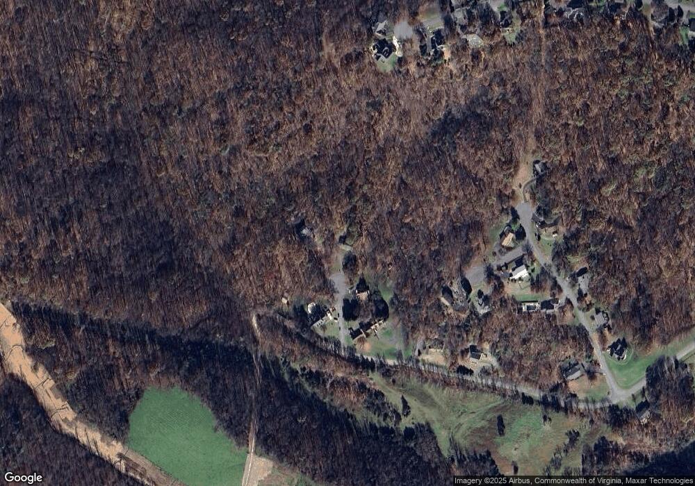
This home is located at 7091 Southerland Cir, Salem, VA 24153 and is currently estimated at $476,455, approximately $147 per square foot. 7091 Southerland Cir is a home located in Roanoke County with nearby schools including Glenvar Elementary School, Glenvar Middle School, and Glenvar High School.
Ownership History
Date
Name
Owned For
Owner Type
Purchase Details
Closed on
Nov 26, 2024
Sold by
Davis Don A and Davis Deborah E
Bought by
Nolan Dennis and Nolan Christine
Current Estimated Value
Home Financials for this Owner
Home Financials are based on the most recent Mortgage that was taken out on this home.
Original Mortgage
$432,250
Outstanding Balance
$110,793
Interest Rate
6.72%
Mortgage Type
Construction
Estimated Equity
$365,662
Create a Home Valuation Report for This Property
The Home Valuation Report is an in-depth analysis detailing your home's value as well as a comparison with similar homes in the area
Home Values in the Area
Average Home Value in this Area
Purchase History
| Date | Buyer | Sale Price | Title Company |
|---|---|---|---|
| Nolan Dennis | $455,000 | First American Title | |
| Nolan Dennis | $455,000 | First American Title |
Source: Public Records
Mortgage History
| Date | Status | Borrower | Loan Amount |
|---|---|---|---|
| Open | Nolan Dennis | $432,250 | |
| Closed | Nolan Dennis | $432,250 |
Source: Public Records
Tax History Compared to Growth
Tax History
| Year | Tax Paid | Tax Assessment Tax Assessment Total Assessment is a certain percentage of the fair market value that is determined by local assessors to be the total taxable value of land and additions on the property. | Land | Improvement |
|---|---|---|---|---|
| 2025 | $4,580 | $444,700 | $57,000 | $387,700 |
| 2024 | $4,605 | $442,800 | $57,000 | $385,800 |
| 2023 | $4,386 | $413,800 | $57,000 | $356,800 |
| 2022 | $3,333 | $305,800 | $55,000 | $250,800 |
| 2021 | $3,136 | $287,700 | $50,000 | $237,700 |
| 2020 | $3,062 | $280,900 | $50,000 | $230,900 |
| 2019 | $3,006 | $275,800 | $50,000 | $225,800 |
| 2018 | $2,838 | $270,900 | $50,000 | $220,900 |
| 2017 | $2,838 | $260,400 | $50,000 | $210,400 |
| 2016 | $2,811 | $257,900 | $50,000 | $207,900 |
| 2015 | $2,784 | $255,400 | $50,000 | $205,400 |
| 2014 | $2,757 | $252,900 | $50,000 | $202,900 |
Source: Public Records
Map
Nearby Homes
- 0 W Main St Unit 914485
- 5841 Twine Hollow Rd
- 356 Bernies Way
- 229 Louise Ln
- 5615 Prunty Dr
- 5506 Pleasant Run Dr
- 6150 Dry Hollow Rd
- 5595 New Pleasant Way
- 5508 Old Grove Ln
- 5506 New Pleasant Way
- 5548 Old Grove Ln
- 5510 New Pleasant Way
- 2881 Reese Mountain Rd
- 2351 Reese Mountain Rd
- 5110 N Fork Rd
- 3280 Reese Mountain Rd
- 0 Yale Dr
- 7098 Southerland Cir
- 7077 Southerland Cir
- 7051 Southerland Cir
- 7034 Southerland Cir
- 7045 Southerland Cir
- 7031 Southerland Cir
- 6937 Louise Cir
- 6950 Louise Cir
- 6965 Thomas Dr
- 6927 Louise Cir
- 6936 Louise Cir
- 276 Louise Cir
- 282 Louise Cir
- 256 Louise Cir
- 216 Louise Cir
- 264 Louise Cir
- 230 Louise Cir
- 6949 Thomas Dr
- 6928 Louise Cir
- 7042 Campbell Dr
