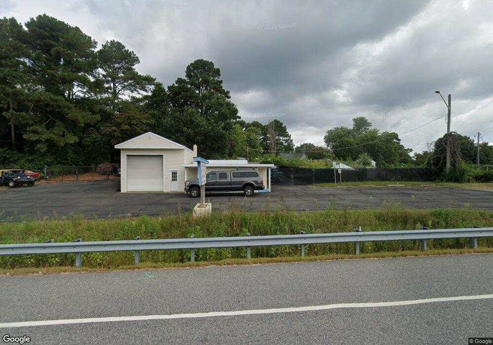
7091 Worcester Hwy Newark, MD 21841
Estimated Value: $192,988
--
Bed
--
Bath
869
Sq Ft
$222/Sq Ft
Est. Value
About This Home
This home is located at 7091 Worcester Hwy, Newark, MD 21841 and is currently estimated at $192,988, approximately $222 per square foot. 7091 Worcester Hwy is a home located in Worcester County with nearby schools including Snow Hill Elementary School, Snow Hill Middle School, and Snow Hill High School.
Ownership History
Date
Name
Owned For
Owner Type
Purchase Details
Closed on
Oct 31, 2008
Sold by
Shoreline Auto Sales Llc
Bought by
Klein Donald F and Klein Jane H
Current Estimated Value
Home Financials for this Owner
Home Financials are based on the most recent Mortgage that was taken out on this home.
Original Mortgage
$115,000
Outstanding Balance
$76,709
Interest Rate
6.41%
Mortgage Type
Commercial
Estimated Equity
$116,279
Purchase Details
Closed on
Oct 2, 2008
Sold by
Shoreline Auto Sales Llc
Bought by
Klein Donald F and Klein Jane H
Home Financials for this Owner
Home Financials are based on the most recent Mortgage that was taken out on this home.
Original Mortgage
$115,000
Outstanding Balance
$76,709
Interest Rate
6.41%
Mortgage Type
Commercial
Estimated Equity
$116,279
Purchase Details
Closed on
Jun 10, 2005
Sold by
Harman Robert G and Harman Kaye I
Bought by
Shoreline Auto Sales Llc
Purchase Details
Closed on
Mar 1, 1990
Sold by
Smo Incorporated
Bought by
Harman Robert G and Harman Kaye I
Create a Home Valuation Report for This Property
The Home Valuation Report is an in-depth analysis detailing your home's value as well as a comparison with similar homes in the area
Home Values in the Area
Average Home Value in this Area
Purchase History
| Date | Buyer | Sale Price | Title Company |
|---|---|---|---|
| Klein Donald F | $125,000 | -- | |
| Klein Donald F | $125,000 | -- | |
| Shoreline Auto Sales Llc | $125,000 | -- | |
| Harman Robert G | $35,000 | -- |
Source: Public Records
Mortgage History
| Date | Status | Borrower | Loan Amount |
|---|---|---|---|
| Open | Klein Donald F | $115,000 | |
| Closed | Klein Donald F | $115,000 |
Source: Public Records
Tax History Compared to Growth
Tax History
| Year | Tax Paid | Tax Assessment Tax Assessment Total Assessment is a certain percentage of the fair market value that is determined by local assessors to be the total taxable value of land and additions on the property. | Land | Improvement |
|---|---|---|---|---|
| 2025 | $1,298 | $130,600 | $84,300 | $46,300 |
| 2024 | $1,298 | $129,933 | $0 | $0 |
| 2023 | $1,292 | $129,267 | $0 | $0 |
| 2022 | $1,285 | $128,600 | $84,300 | $44,300 |
| 2021 | $1,268 | $126,267 | $0 | $0 |
| 2020 | $1,246 | $123,933 | $0 | $0 |
| 2019 | $1,224 | $121,600 | $76,600 | $45,000 |
| 2018 | $1,152 | $121,600 | $76,600 | $45,000 |
| 2017 | $1,212 | $121,600 | $0 | $0 |
| 2016 | -- | $123,000 | $0 | $0 |
| 2015 | -- | $123,000 | $0 | $0 |
| 2014 | $1,004 | $123,000 | $0 | $0 |
Source: Public Records
Map
Nearby Homes
- 8422 Newark Rd
- Lot 5 Newark Rd
- Lot 4 Newark Rd
- Lot 3 Newark Rd
- 0 Newark Rd Unit MDWO2032424
- 0 Newark Rd Unit MDWO2014316
- 7109 Daffodil Ln Rd
- 0 Worcester Hwy Unit MDWO2031236
- 7613 Acorn Rd
- 6629 Bowden Rd
- 6744 Basket Switch Rd
- 0 Patey Woods Rd Unit MDWO2031602
- 6019 Basket Switch Rd
- 0 E Shire Dr
- 0 Cedartown Rd
- 0 Evans Rd Unit MDWO2011414
- 0 Newport Bay Dr Unit MDWO102088
- 11334 Newport Bay Dr
- 6513 Hampton Rd
- Lot 23 Hampton Rd
- 8358 Langmaid Rd
- 8354 Langmaid Rd
- 8340 Langmaid Rd Unit D
- 8340 Langmaid Rd Unit B
- 8340 Langmaid Rd Unit C
- 8340 Langmaid Rd Unit A
- 8355 Langmaid Rd
- 8361 Langmaid Rd
- 7144 Arcadia Cir
- 7152 Arcadia Cir
- 7142 Arcadia Cir
- 7150 Arcadia Cir
- 8349 Langmaid Rd
- 8410 Langmaid Rd
- 7148 Arcadia Cir
- 8341 Langmaid Rd
- Lot 8 Arcadia Cir
- Lot 7 Arcadia Cir
- 7140 Arcadia Cir
- 0 Arcadia Cir Unit 1000702624