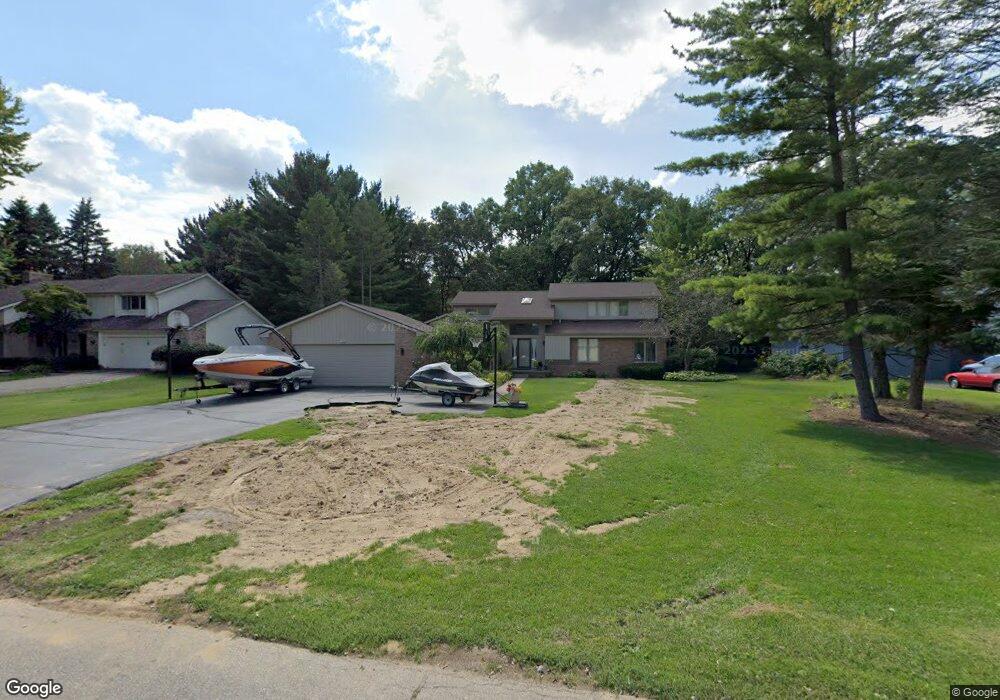
7095 Cedarbank Dr Unit Bldg-Unit West Bloomfield, MI 48324
Estimated Value: $508,743 - $595,000
3
Beds
3
Baths
2,546
Sq Ft
$220/Sq Ft
Est. Value
About This Home
This home is located at 7095 Cedarbank Dr Unit Bldg-Unit, West Bloomfield, MI 48324 and is currently estimated at $559,186, approximately $219 per square foot. 7095 Cedarbank Dr Unit Bldg-Unit is a home located in Oakland County with nearby schools including Clifford H. Smart Middle School, Walled Lake Northern High School, and Our Lady Of Refuge School.
Ownership History
Date
Name
Owned For
Owner Type
Purchase Details
Closed on
Aug 20, 2018
Sold by
Ressler Marilynn A and Rizzo Ann
Bought by
Cushion Steven
Current Estimated Value
Create a Home Valuation Report for This Property
The Home Valuation Report is an in-depth analysis detailing your home's value as well as a comparison with similar homes in the area
Home Values in the Area
Average Home Value in this Area
Purchase History
| Date | Buyer | Sale Price | Title Company |
|---|---|---|---|
| Cushion Steven | $360,000 | Title Express Llc |
Source: Public Records
Tax History Compared to Growth
Tax History
| Year | Tax Paid | Tax Assessment Tax Assessment Total Assessment is a certain percentage of the fair market value that is determined by local assessors to be the total taxable value of land and additions on the property. | Land | Improvement |
|---|---|---|---|---|
| 2024 | $3,503 | $210,530 | $0 | $0 |
| 2022 | $3,303 | $194,470 | $20,400 | $174,070 |
| 2021 | $5,438 | $179,860 | $0 | $0 |
| 2020 | $3,264 | $175,810 | $20,400 | $155,410 |
| 2018 | $3,480 | $131,350 | $17,000 | $114,350 |
| 2015 | -- | $110,080 | $0 | $0 |
| 2014 | -- | $101,790 | $0 | $0 |
| 2011 | -- | $96,210 | $0 | $0 |
Source: Public Records
Map
Nearby Homes
- 7110 Commerce Rd
- 2877 W Bloomfield Oaks Dr
- 3115 Westacres Dr
- 7304 Ilanaway Dr
- 7146 Arrowood Dr
- 7240 Aaronway Dr
- 7185 Aaronway Dr
- 7369 Sweetbriar
- 7543 Greenway Ln
- Richfield Plan at Rosewood - Detached Ranch Condos
- 7260 Willow Oak Dr
- 6707 Heatherwood Dr
- 3632 Fieldview Ave
- 7607 Mapleton Ct
- 2484 Horace St
- 2498 Sunset Terrace Ln
- 6768 Buckland Ave
- 2841 Treyburn Ln
- 6420 Commerce Rd
- 6903 Dandison Blvd
- 7095 Cedarbank Dr
- 7111 Cedarbank Dr
- 7087 Cedarbank Dr
- 7123 Cedarbank Dr
- 7083 Cedarbank Dr
- 7135 Cedarbank Dr
- 7100 Cedarbank Dr
- 7094 Cedarbank Dr
- 7112 Cedarbank Dr
- 7088 Cedarbank Dr
- 3173 Elder Rd N
- 7079 Cedarbank Dr
- 7082 Cedarbank Dr
- 7122 Cedarbank Dr
- 7145 Cedarbank Dr
- 3153 Elder Rd N
- 7132 Cedarbank Dr
- 7073 Cedarbank Dr
- 7076 Cedarbank Dr
- 7151 Cedarbank Dr