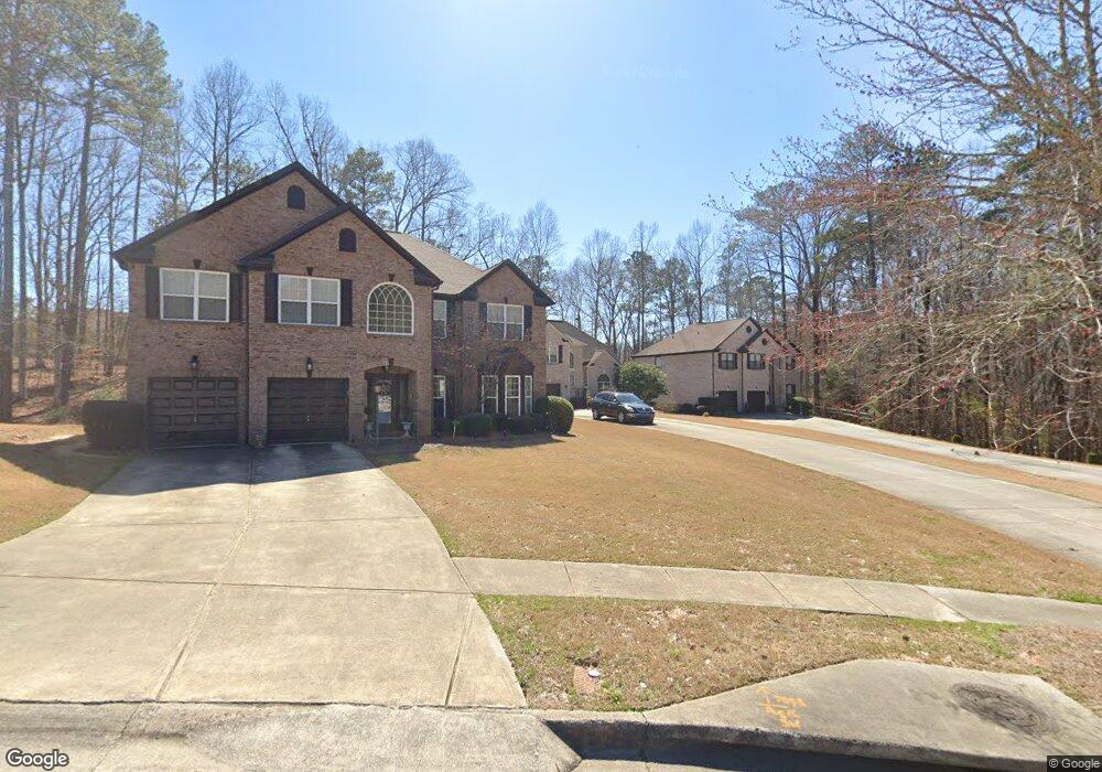
7095 Thoreau Cir Unit 9 Atlanta, GA 30349
Estimated Value: $394,684 - $457,000
4
Beds
3
Baths
2,654
Sq Ft
$161/Sq Ft
Est. Value
About This Home
This home is located at 7095 Thoreau Cir Unit 9, Atlanta, GA 30349 and is currently estimated at $426,421, approximately $160 per square foot. 7095 Thoreau Cir Unit 9 is a home located in Fulton County with nearby schools including Cliftondale Elementary School, Renaissance Middle School, and Langston Hughes High School.
Ownership History
Date
Name
Owned For
Owner Type
Purchase Details
Closed on
Feb 27, 2006
Sold by
Ryland Group Inc
Bought by
Palmer Jeffery C and Brown-Palmer Robyn
Current Estimated Value
Home Financials for this Owner
Home Financials are based on the most recent Mortgage that was taken out on this home.
Original Mortgage
$208,836
Outstanding Balance
$138,484
Interest Rate
9.3%
Mortgage Type
New Conventional
Estimated Equity
$287,937
Create a Home Valuation Report for This Property
The Home Valuation Report is an in-depth analysis detailing your home's value as well as a comparison with similar homes in the area
Home Values in the Area
Average Home Value in this Area
Purchase History
| Date | Buyer | Sale Price | Title Company |
|---|---|---|---|
| Palmer Jeffery C | $261,100 | -- |
Source: Public Records
Mortgage History
| Date | Status | Borrower | Loan Amount |
|---|---|---|---|
| Open | Palmer Jeffery C | $208,836 |
Source: Public Records
Tax History Compared to Growth
Tax History
| Year | Tax Paid | Tax Assessment Tax Assessment Total Assessment is a certain percentage of the fair market value that is determined by local assessors to be the total taxable value of land and additions on the property. | Land | Improvement |
|---|---|---|---|---|
| 2025 | $2,736 | $117,400 | $37,160 | $80,240 |
| 2023 | $3,794 | $134,400 | $34,280 | $100,120 |
| 2022 | $2,574 | $120,360 | $27,920 | $92,440 |
| 2021 | $2,385 | $94,000 | $25,280 | $68,720 |
| 2020 | $2,391 | $92,880 | $24,960 | $67,920 |
| 2019 | $2,296 | $79,520 | $15,200 | $64,320 |
| 2018 | $2,402 | $77,640 | $14,840 | $62,800 |
| 2017 | $2,051 | $67,400 | $14,840 | $52,560 |
| 2016 | $2,050 | $67,400 | $14,840 | $52,560 |
| 2015 | $2,056 | $67,400 | $14,840 | $52,560 |
| 2014 | $1,540 | $53,440 | $13,760 | $39,680 |
Source: Public Records
Map
Nearby Homes
- 3912 Margaux Dr
- 3876 Margaux Dr
- 7280 Wright Dr Unit 12
- 204 Saintvry Path
- 3835 Kastler Dr
- 3830 Kastler Dr
- 3832 Kastler Dr
- 7192 Linden Dr
- GRAYSON Plan at Butner Estates
- LYNNBROOK Plan at Butner Estates
- BELLVIEW Plan at Butner Estates
- WINDSOR Plan at Butner Estates
- WESTERLY Plan at Butner Estates
- 7170 Linden Dr
- 7165 Linden Dr
- 7150 Linden Dr
- 7091 Thoreau Cir Unit 9
- 7099 Thoreau Cir
- 7103 Thoreau Cir Unit 152
- 7103 Thoreau Cir
- 3900 Margaux Dr Unit 20
- 7088 Thoreau Cir Unit 9
- 7088 Thoreau Cir
- 7088 Thoreau Cir Unit 161
- 3896 Margaux Dr Unit 21
- 3896 Margaux Dr
- 7107 Thoreau Cir Unit 7107
- 7107 Thoreau Cir
- 7107 Thoreau Cir
- 3904 Margaux Dr
- 7087 Thoreau Cir
- 3892 Margaux Dr
- 3908 Margaux Dr
- 7084 Thoreau Cir
- 7111 Thoreau Cir Unit 9
- 505 Margaux Path Unit 23