70955 Schroeder Rd Pendleton, OR 97801
Estimated Value: $602,195 - $801,000
3
Beds
2
Baths
3,684
Sq Ft
$191/Sq Ft
Est. Value
About This Home
This home is located at 70955 Schroeder Rd, Pendleton, OR 97801 and is currently estimated at $704,065, approximately $191 per square foot. 70955 Schroeder Rd is a home located in Umatilla County with nearby schools including McKay Creek Elementary School, Sunridge Middle School, and Pendleton High School.
Ownership History
Date
Name
Owned For
Owner Type
Purchase Details
Closed on
May 17, 2012
Sold by
Byrd Daniel F and Byrd Ellen Rene
Bought by
Byrd Daniel F and Byrd Rene
Current Estimated Value
Purchase Details
Closed on
Nov 18, 2011
Sold by
Womack Terry W and Womack Cindy W
Bought by
Byrd Daniel F and Byrd Ellen Rene
Home Financials for this Owner
Home Financials are based on the most recent Mortgage that was taken out on this home.
Original Mortgage
$296,000
Outstanding Balance
$200,376
Interest Rate
3.87%
Mortgage Type
New Conventional
Estimated Equity
$503,689
Purchase Details
Closed on
May 13, 2005
Sold by
Wells Leonard A
Bought by
Womack Terry W
Home Financials for this Owner
Home Financials are based on the most recent Mortgage that was taken out on this home.
Original Mortgage
$243,000
Interest Rate
6.02%
Mortgage Type
New Conventional
Create a Home Valuation Report for This Property
The Home Valuation Report is an in-depth analysis detailing your home's value as well as a comparison with similar homes in the area
Purchase History
| Date | Buyer | Sale Price | Title Company |
|---|---|---|---|
| Byrd Daniel F | -- | None Available | |
| Byrd Daniel F | $370,000 | Amerititle | |
| Womack Terry W | $320,000 | Amerititle |
Source: Public Records
Mortgage History
| Date | Status | Borrower | Loan Amount |
|---|---|---|---|
| Open | Byrd Daniel F | $296,000 | |
| Previous Owner | Womack Terry W | $243,000 |
Source: Public Records
Tax History
| Year | Tax Paid | Tax Assessment Tax Assessment Total Assessment is a certain percentage of the fair market value that is determined by local assessors to be the total taxable value of land and additions on the property. | Land | Improvement |
|---|---|---|---|---|
| 2022 | $5,367 | $384,040 | $0 | $0 |
| 2021 | $5,361 | $372,860 | $155,040 | $217,820 |
| 2020 | $5,170 | $362,000 | $150,520 | $211,480 |
| 2018 | $4,941 | $341,230 | $141,890 | $199,340 |
| 2017 | $4,772 | $331,300 | $137,750 | $193,550 |
| 2016 | $4,494 | $321,660 | $133,740 | $187,920 |
| 2015 | $4,620 | $295,220 | $82,480 | $212,740 |
| 2014 | $4,221 | $295,220 | $82,480 | $212,740 |
Source: Public Records
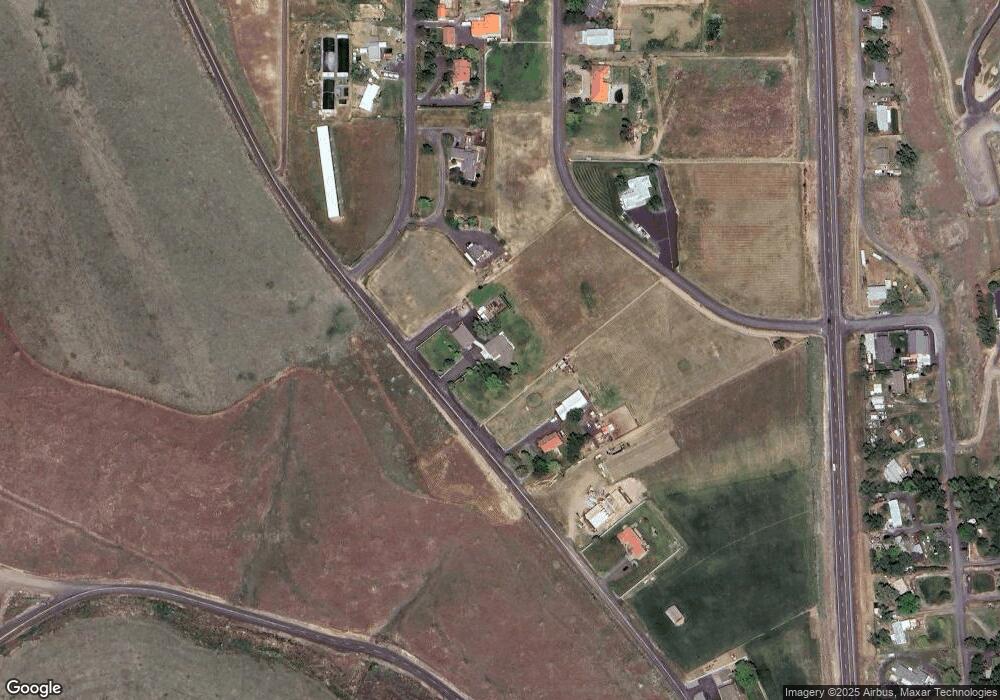
Map
Nearby Homes
- 70349 Lakeside Rd
- 71642 SW Park Ln
- 72062 Westfield Blvd
- 904 SW 43rd St
- 1901 SW Runnion Ln
- 1536 SW 44th St
- 1780 SW 18th St
- 0 SW 2nd St Unit 263926795
- 0 SW Quinney Ln Unit 24414661
- 0 Mckay Dr
- 1616 SW 2nd St
- 1437 SW 37th St Unit 43
- 1414 SW 24th St
- 1206 SW 24th St
- 1004 SW 33rd St
- 3307 SW Kirk Ave
- 0 SW Kirk Ave Unit 200 21392184
- 0 SW Kirk Ave Unit 101 21527345
- 0 SW Kirk Ave Unit 5500 21002117
- 3 Tutuilla Rd
- 70907 Schroeder Rd
- 71021 Appaloosa Ln
- 70961 Arabian Dr
- 70873 Schroeder Rd
- 71017 Arabian Dr
- 70873 County 1311 Rd
- 71049 Arabian Dr
- 70891 County 1311 Rd
- 71041 Appaloosa Ln
- 43789 SW Elizabeth Ave
- 70870 SW Douglas Dr
- 70842 SW Douglas Dr
- 70959 SW Douglas Dr
- 70977 SW Douglas Dr
- 71063 Arabian Dr
- 70981 SW Douglas Dr
- 71075 Arabian Dr
- 71083 Arabian Dr
- 70901 SW Douglas Dr
- 71003 SW Douglas Dr
Your Personal Tour Guide
Ask me questions while you tour the home.