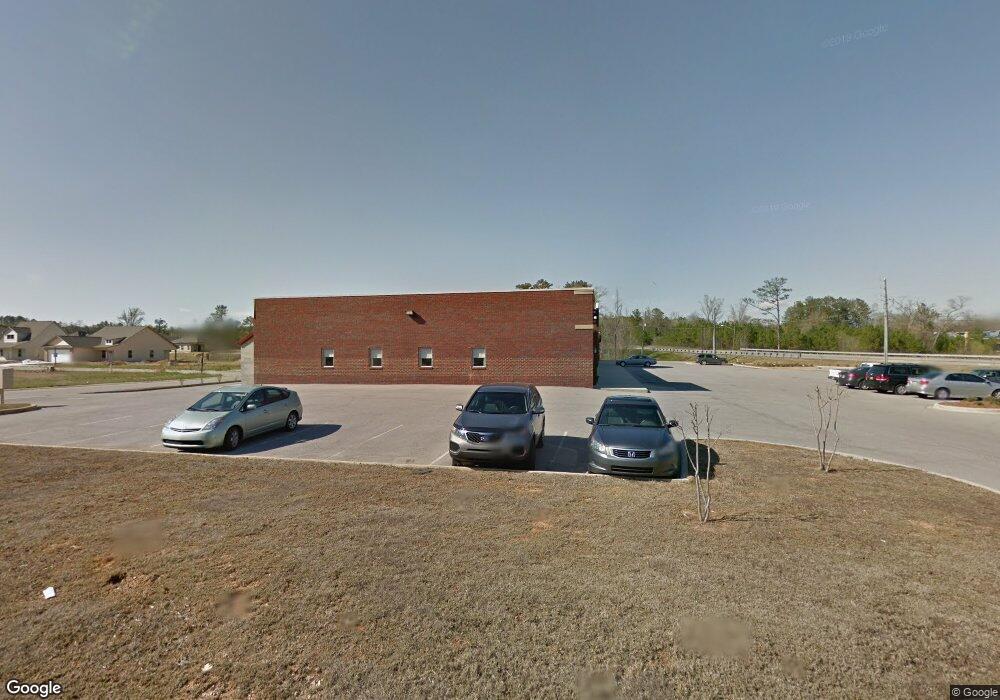
7097 Highway 31 Calera, AL 35040
--
Bed
1
Bath
13,860
Sq Ft
1.72
Acres
About This Home
This home is located at 7097 Highway 31, Calera, AL 35040. 7097 Highway 31 is a home located in Shelby County with nearby schools including Calera Intermediate School, Calera Elementary School, and Calera Middle School.
Ownership History
Date
Name
Owned For
Owner Type
Purchase Details
Closed on
Jun 6, 2014
Sold by
First United Security Bank
Bought by
Cobalt Realty Llc
Home Financials for this Owner
Home Financials are based on the most recent Mortgage that was taken out on this home.
Original Mortgage
$507,500
Interest Rate
4.17%
Mortgage Type
Future Advance Clause Open End Mortgage
Purchase Details
Closed on
Nov 14, 2007
Sold by
S & S Development Llc
Bought by
Hampton Square Llc
Home Financials for this Owner
Home Financials are based on the most recent Mortgage that was taken out on this home.
Original Mortgage
$1,300,000
Interest Rate
6.26%
Mortgage Type
Commercial
Purchase Details
Closed on
Jun 12, 2007
Sold by
Hampton Square Llc
Bought by
Hampton Square Llc
Create a Home Valuation Report for This Property
The Home Valuation Report is an in-depth analysis detailing your home's value as well as a comparison with similar homes in the area
Home Values in the Area
Average Home Value in this Area
Purchase History
| Date | Buyer | Sale Price | Title Company |
|---|---|---|---|
| Cobalt Realty Llc | $725,000 | Jefferson Title | |
| Hampton Square Llc | $120,000 | None Available | |
| Hampton Square Llc | $5,000 | None Available | |
| S & S Development Llc | $5,000 | None Available |
Source: Public Records
Mortgage History
| Date | Status | Borrower | Loan Amount |
|---|---|---|---|
| Closed | Cobalt Realty Llc | $507,500 | |
| Previous Owner | Hampton Square Llc | $1,300,000 |
Source: Public Records
Tax History Compared to Growth
Tax History
| Year | Tax Paid | Tax Assessment Tax Assessment Total Assessment is a certain percentage of the fair market value that is determined by local assessors to be the total taxable value of land and additions on the property. | Land | Improvement |
|---|---|---|---|---|
| 2024 | $15,120 | $280,000 | $0 | $0 |
| 2023 | $15,745 | $291,580 | $0 | $0 |
| 2022 | $14,550 | $269,440 | $0 | $0 |
| 2021 | $11,799 | $218,500 | $0 | $0 |
| 2020 | $13,550 | $250,920 | $0 | $0 |
| 2019 | $12,982 | $240,400 | $0 | $0 |
| 2017 | $11,893 | $220,240 | $0 | $0 |
| 2015 | $10,156 | $188,080 | $0 | $0 |
| 2014 | $9,900 | $183,340 | $0 | $0 |
Source: Public Records
Map
Nearby Homes
- 0 Whippoorwill Ln Unit 1 21396661
- Plan 2020 at Emerald Ridge
- Plan 1700 at Emerald Ridge
- Plan 1665 at Emerald Ridge
- Plan 1525 at Emerald Ridge
- Plan 1348 at Emerald Ridge
- 00 Highway 31 Unit 1
- 139 Flagstone Ln
- 1064 Kerry Dr
- 2067 Kerry Cir
- 134 Mayfair Ln
- 120 Coleman Way
- 323 Clear Creek Ln
- 117 Renwick Ln
- 137 Hermitage Ln
- 346 Amber Ave
- 366 Amber Ave
- 334 Amber Ave
- 375 18th St
- 500 Camden Cove Cir
- 7232 U S 31
- 304 Maggie Way
- 300 Maggie Way
- 301 Maggie Way
- 303 Maggie Way
- 200 Hampton Dr Unit 20
- 308 Maggie Way Unit 36
- 308 Maggie Way
- 307 Maggie Way
- 497 Margaret Ln
- 204 Hampton Dr Unit 19
- 204 Hampton Dr
- 312 Maggie Way Unit 35
- 312 Maggie Way
- 311 Maggie Way
- 197 Hampton Dr
- 197 Hampton Dr Unit 4
- 501 Margaret Ln
- 2015 Village Ln
- 208 Hampton Dr