7098 Atwood Rd Ferndale, WA 98248
Estimated Value: $683,000 - $861,000
3
Beds
3
Baths
2,172
Sq Ft
$353/Sq Ft
Est. Value
About This Home
This home is located at 7098 Atwood Rd, Ferndale, WA 98248 and is currently estimated at $767,195, approximately $353 per square foot. 7098 Atwood Rd is a home located in Whatcom County with nearby schools including Custer Elementary School, Horizon Middle School, and Ferndale High School.
Ownership History
Date
Name
Owned For
Owner Type
Purchase Details
Closed on
Aug 3, 2022
Sold by
Verhoeven Robert L and Verhoeven Verla M
Bought by
Mills Howard and Lagerwey Sarah
Current Estimated Value
Home Financials for this Owner
Home Financials are based on the most recent Mortgage that was taken out on this home.
Original Mortgage
$160,000
Outstanding Balance
$152,968
Interest Rate
5.51%
Mortgage Type
New Conventional
Estimated Equity
$614,227
Purchase Details
Closed on
Jun 11, 2002
Sold by
Klemmer Richard L and Klemmer Kathy L
Bought by
Verhoeven Robert L and Verhoeven Verla M
Create a Home Valuation Report for This Property
The Home Valuation Report is an in-depth analysis detailing your home's value as well as a comparison with similar homes in the area
Home Values in the Area
Average Home Value in this Area
Purchase History
| Date | Buyer | Sale Price | Title Company |
|---|---|---|---|
| Mills Howard | -- | Chicago Title | |
| Verhoeven Robert L | -- | Whatcom Land Title |
Source: Public Records
Mortgage History
| Date | Status | Borrower | Loan Amount |
|---|---|---|---|
| Open | Mills Howard | $160,000 |
Source: Public Records
Tax History Compared to Growth
Tax History
| Year | Tax Paid | Tax Assessment Tax Assessment Total Assessment is a certain percentage of the fair market value that is determined by local assessors to be the total taxable value of land and additions on the property. | Land | Improvement |
|---|---|---|---|---|
| 2024 | $5,149 | $685,400 | $339,576 | $345,824 |
| 2023 | $5,149 | $713,043 | $380,520 | $332,523 |
| 2022 | $5,092 | $690,212 | $270,185 | $420,027 |
| 2021 | $4,704 | $547,781 | $214,430 | $333,351 |
| 2020 | $4,791 | $464,222 | $181,721 | $282,501 |
| 2019 | $3,815 | $429,830 | $168,258 | $261,572 |
| 2018 | $4,489 | $391,525 | $153,263 | $238,262 |
| 2017 | $3,664 | $352,725 | $138,075 | $214,650 |
| 2016 | $3,662 | $307,462 | $118,195 | $189,267 |
| 2015 | $3,541 | $307,462 | $118,195 | $189,267 |
| 2014 | -- | $289,179 | $111,167 | $178,012 |
| 2013 | -- | $283,035 | $108,805 | $174,230 |
Source: Public Records
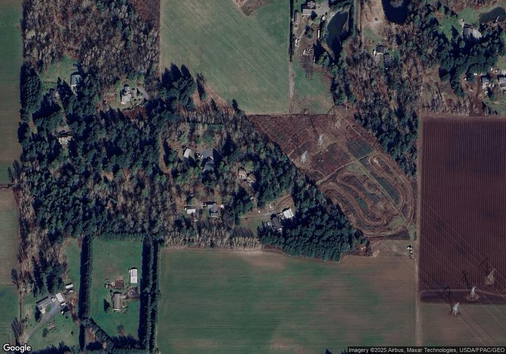
Map
Nearby Homes
- 2070 Grandview Rd
- 7181 Enterprise Rd
- 2020 Grandview Rd
- 0 2151xx Harksell Rd
- 2036 Grandview Rd
- 2265 Grandview Rd
- 7136 Portal Way Unit 18
- 6850 Portal Way
- 7442 Woodland Rd
- 1939 Grandview Rd
- 0 xxx Brown Rd
- 7077 Vista Dr
- 7020 Dahlberg Rd
- 1711 Garden Farms Rd
- 6600 Portal Way
- 1862 Destiny St
- 1942 Trigg Rd Unit 26
- 1942 Trigg Rd Unit 38
- 0 Aldergrove Rd Unit NWM2355925
- 6470 Trigg Woods Ln
- 7100 Atwood Rd
- 7094 Atwood Rd
- 7096 Atwood Rd
- 7086 Atwood Rd
- 7090 Atwood Rd
- 2129 Harksell Rd
- 7084 Atwood Rd
- 2125 Harksell Rd
- 7088 Atwood Rd
- 2151 Harksell Rd
- 2151 Harksell Rd
- 7092 Atwood Rd
- 7080 Atwood Rd
- 2123 Harksell Rd
- 2154 Buchanan Loop A Unit A
- 7231 Secluded Ln
- 7227 Secluded Ln
- 2193 Harksell Rd
- 2121 Hasrksell Rd
- 2247 Harksell Rd