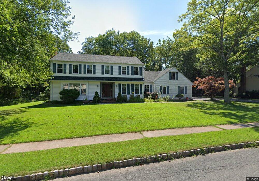
71 Berkeley Cir Basking Ridge, NJ 07920
Bernards NeighborhoodEstimated Value: $1,083,283 - $1,220,000
Studio
--
Bath
2,551
Sq Ft
$462/Sq Ft
Est. Value
About This Home
This home is located at 71 Berkeley Cir, Basking Ridge, NJ 07920 and is currently estimated at $1,179,071, approximately $462 per square foot. 71 Berkeley Cir is a home located in Somerset County with nearby schools including Oak Street Elementary School, William Annin Middle School, and Ridge High School.
Ownership History
Date
Name
Owned For
Owner Type
Purchase Details
Closed on
Jul 30, 2001
Sold by
Getty Chin
Bought by
Rauer Robert and Rauer Sedigheh
Current Estimated Value
Home Financials for this Owner
Home Financials are based on the most recent Mortgage that was taken out on this home.
Original Mortgage
$309,300
Outstanding Balance
$120,740
Interest Rate
7.16%
Estimated Equity
$1,058,331
Purchase Details
Closed on
May 4, 1994
Sold by
Kwasnik Dineen
Bought by
Getty Chin and Choi Theresa
Home Financials for this Owner
Home Financials are based on the most recent Mortgage that was taken out on this home.
Original Mortgage
$190,000
Interest Rate
7.93%
Create a Home Valuation Report for This Property
The Home Valuation Report is an in-depth analysis detailing your home's value as well as a comparison with similar homes in the area
Home Values in the Area
Average Home Value in this Area
Purchase History
| Date | Buyer | Sale Price | Title Company |
|---|---|---|---|
| Rauer Robert | $509,375 | -- | |
| Getty Chin | $390,000 | -- |
Source: Public Records
Mortgage History
| Date | Status | Borrower | Loan Amount |
|---|---|---|---|
| Open | Rauer Robert | $309,300 | |
| Previous Owner | Getty Chin | $190,000 |
Source: Public Records
Tax History
| Year | Tax Paid | Tax Assessment Tax Assessment Total Assessment is a certain percentage of the fair market value that is determined by local assessors to be the total taxable value of land and additions on the property. | Land | Improvement |
|---|---|---|---|---|
| 2025 | $13,698 | $942,000 | $423,200 | $518,800 |
| 2024 | $13,698 | $770,000 | $369,200 | $400,800 |
Source: Public Records
Map
Nearby Homes
- 173 W Oak St
- 48 Wisteria Way
- 36 Debra Ln
- 15-10 Pine St
- 26 Ambar Place
- 12 Wayne Terrace
- 3 Spring House Rd
- 33 Juniper Way
- 24 Quimby Ln
- 247 Lyons Rd
- 80 Claremont Rd Unit 802
- 80 Claremont Rd Unit 206
- 4 Owen Ct
- 23 Charlotte Hill Dr
- 105 Annin Rd
- 14 Bradford Ln
- 451 Mine Brook Rd
- 496 Mine Brook Rd
- 22 Orchard Hill Rd
- 7 Valley View Dr
- 77 Berkeley Cir
- 74 Berkeley Cir
- 4 Carteret Trail
- 62 Berkeley Cir
- 85 Berkeley Cir
- 80 Berkeley Cir
- 8 Carteret Trail
- 57 Berkeley Cir
- 88 Berkeley Cir
- 48 Berkeley Cir
- 91 Berkeley Cir
- 12 Carteret Trail
- 47 Berkeley Cir
- 94 Berkeley Cir
- 40 Berkeley Cir
- 99 Berkeley Cir
- 41 Berkeley Cir
- 100 Berkeley Cir
- 32 Berkeley Cir
- 113 Culberson Rd
Your Personal Tour Guide
Ask me questions while you tour the home.